
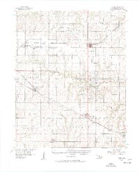
1956 Map of Garber
USGS Topo · Published 1957About this map
The oil-rich landscape of Garfield County is defined by a dense network of industrial sites and agricultural infrastructure in the mid-1950s. A prominent Refinery and numerous tanks near Garber signal the regional importance of the petroleum industry, while the surrounding plains are cross-cut by three major rail lines: the St Louis - San Francisco, the Chicago Rock Island and Pacific, and the Atchison Topeka and Santa Fe. These railroads link established grain and trade centers like Covington and Fairmont to the wider world.
Find a feature on this map
43 named features on this map. Tap any name to fly to it.
Don’t see what you’re looking for? This feature index may not catch every label — zoom into the map to look around manually.
Map Details
Editions of this 1956 Garber Map
2 editions found
Other maps of this area

1893 · Mulhall
USGS Topo · 1:62,500

1893 · Lovell
USGS Topo · 1:62,500

1893 · Hennessey
USGS Topo · 1:62,500

1955 · Enid East
USGS Topo · 1:24,000

1955 · Enid
USGS Topo · 1:250,000

1956 · Hennessey
USGS Topo · 1:62,500

1956 · Enid
USGS Topo · 1:62,500

1958 · Enid
USGS Topo · 1:250,000

1968 · Lamont SE
USGS Topo · 1:24,000

1968 · Billings
USGS Topo · 1:24,000