Old Maps of Hunter, Oklahoma for Metal Detecting
Plan your next treasure hunt with 9 historic maps of Hunter. Find old homesites, ghost towns, trails, and gathering spots that may be lost to time — perfect for identifying promising metal detecting locations.
- Locate forgotten sites: Uncover places like long-lost settlements, abandoned rail lines, or gathering spots.
- Plan better hunts: Use map overlays combined with LiDAR or satellite views to narrow in on historically rich areas.
- Made for detectorists: Thousands of hobbyists use these maps to discover relics, coins, and hidden history.
Use these historic maps to boost your research and find new opportunities beneath the surface of Hunter.
Hunter, OK maps
(9)- 1955 Map of Enid, 1966 Print
 1955 Enid1966 Print · USGSNorth-central Oklahoma's transition from open plains to the blackjack hills of the Osage Indian Reservation is captured in the mid-1950s. Researchers can trace the development of the Naval Reserve Oil Field, the grounds of Vance AFB, and the early footprints of Tulsa and Stillwater.4 unique versions available
 - 1958 Map of Enid
 1958 Enid1958 Print · USGSNorthern Oklahoma is mapped here in the late fifties, showcasing a dense network of petroleum production and historic tribal lands. Researchers can trace the legacy of the Osage Indian Reservation, early energy hubs like the Cushing Oil Field, and the Chilocco Indian Agricultural School.2 unique versions available
 - 1968 Map of Hunter, 1969 Print
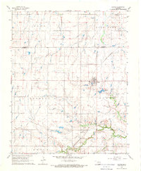 1968 Hunter1969 Print · USGSThe community of Hunter and the surrounding plains are captured here in the late sixties as the local economy balanced rail transport and oil production. Genealogists and historians can trace the St Louis - San Francisco rail line past White Cem and locate numerous active wells within the West Salt Fork Oil Field.
 - 1985 Map of Ponca City
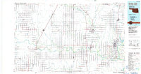 1985 Ponca City1985 Print · USGSNorth-central Oklahoma during the mid-eighties shows a landscape shaped by petroleum and heavy rail. Trace the paths of the Atchison Topeka and Santa Fe through Ponca City or find local landmarks like Northern Oklahoma Junior College and Old Bliss.3 unique versions available
 - 2010 Map of Hunter, 2010 Print
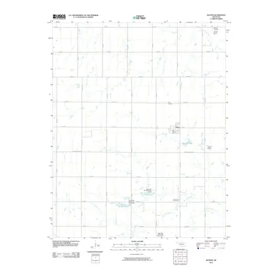 2010 Hunter2010 Print · USGSCovers Hunter, including Garfield County, Grant County, and other nearby areas
 - 2012 Map of Hunter, 2012 Print
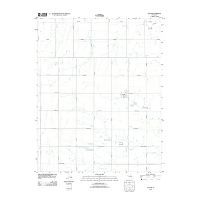 2012 Hunter2012 Print · USGSCovers Hunter, including Garfield County, Grant County, and other nearby areas
 - 2016 Map of Hunter, 2016 Print
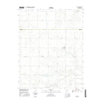 2016 Hunter2016 Print · USGSCovers Hunter, including Garfield County, Grant County, and other nearby areas
 - 2018 Map of Hunter, 2018 Print
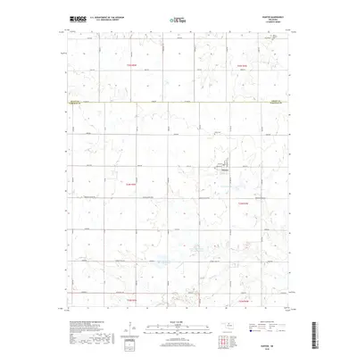 2018 Hunter2018 Print · USGSCovers Hunter, including Garfield County, Grant County, and other nearby areas
 - 2022 Map of Hunter, 2022 Print
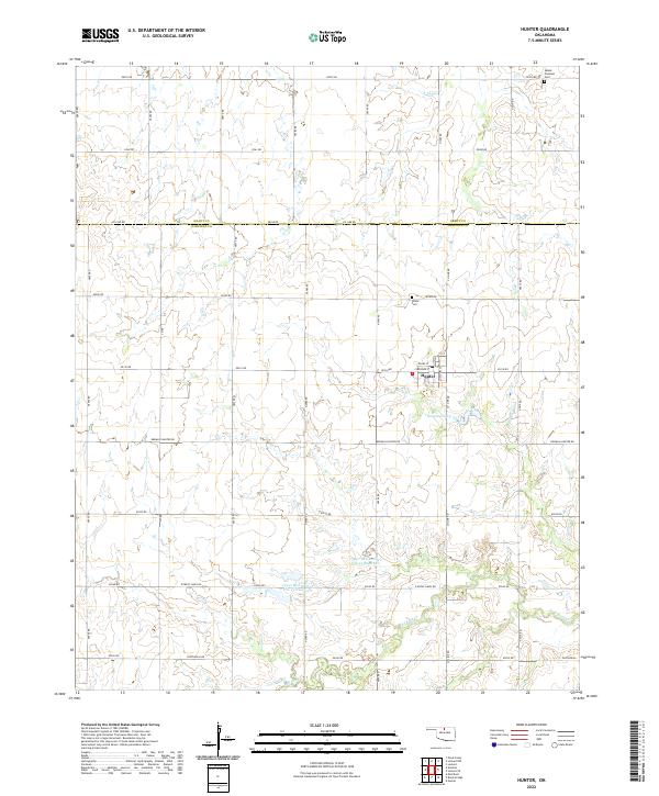 2022 Hunter2022 Print · USGSHunter and the surrounding Garfield County farmland are captured here in the early 2020s, showing a landscape defined by prairie agriculture and modern reservoirs. Genealogists can trace family connections at White Cem or follow the shoreline of Thompson Lake.
End of results
Showing maps 1-9 of 9
Top cities near Hunter
- Enid historical maps
- Medford historical maps
- North Enid historical maps
- Pond Creek historical maps
- Garber historical maps
- Billings historical maps
See more
Frequently asked questions
- What are the different types of historical maps available for Hunter?
- What is the oldest map of Hunter?
- Where can I purchase historical maps of Hunter for my home or office?
- Where can I download high-res historical maps of Hunter?
- Are there historical topographic maps available for Hunter?
- Is there historical aerial imagery available for Hunter?
- Where are historical maps of Hunter sourced from?