Old Maps of Bradley, Oklahoma for Genealogy
Trace your family roots with 16 historic maps of Bradley. These high-res maps reveal old neighborhoods, homesites, landmarks, and streets — helping you uncover where your ancestors lived and how the area evolved over time.
- Explore historic neighborhoods: Identify where your relatives may have lived in the 1800s or 1900s.
- Compare maps over time: Trace the changes in streets, buildings, and landmarks for multi-generational research.
- Perfect for genealogy & ancestry research: Used by family historians and researchers to map out lineage and migration.
These maps are an incredible resource for exploring your personal connection to Bradley's past.
Bradley, OK maps
(16)- 1902 Map of Rush Springs
 1902 Rush Springs1902 Print · USGSThe Chickasaw Nation landscape at the turn of the century is defined by its deep river valleys and the arrival of the iron horse. Genealogists can trace early homesteads and rail-side growth in Rush Springs, Marlow, and settlements like Erin Springs along the Washita River.4 unique versions available
 - 1957 Map of Ardmore, 1968 Print
 1957 Ardmore1968 Print · USGSSouth-central Oklahoma in the late fifties was a landscape of rising reservoir waters and expanding rail lines. Genealogists and historians can trace the foundations of Ardmore and Duncan or locate early recreation sites at Platt National Park and Lake Murray State Park.3 unique versions available
 - 1963 Map of Ardmore
 1963 Ardmore1963 Print · USGSSouthern Oklahoma during the early sixties shows a landscape defined by the Arbuckle Mountains and a booming energy economy. Genealogists and historians can trace family-named sites across the Ardmore Oil Field, find old schools like Southeastern State College, or locate historic markers such as Boggy Depot State Park.2 unique versions available
 - 1966 Map of Lindsay SW, 1967 Print
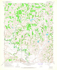
 1966 Lindsay SW1967 Print · USGSMid-century life in the Oklahoma plains is captured here as the river-bottom farms meet the growing energy infrastructure of the 1960s. Researchers can locate an Old Railroad Grade near Bradley, a local Cem, and a Refinery along the Washita River.3 unique versions available
 - 1966 Map of Bradley, 1967 Print
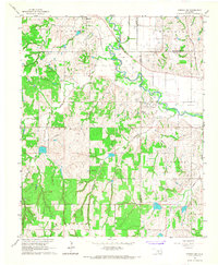
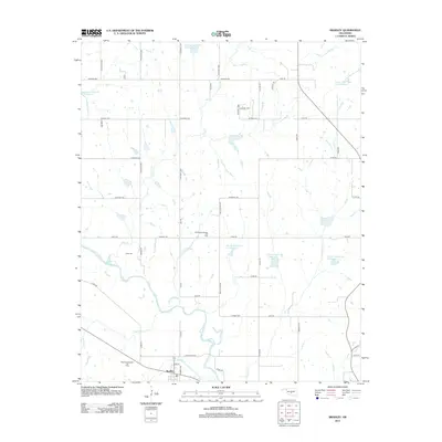
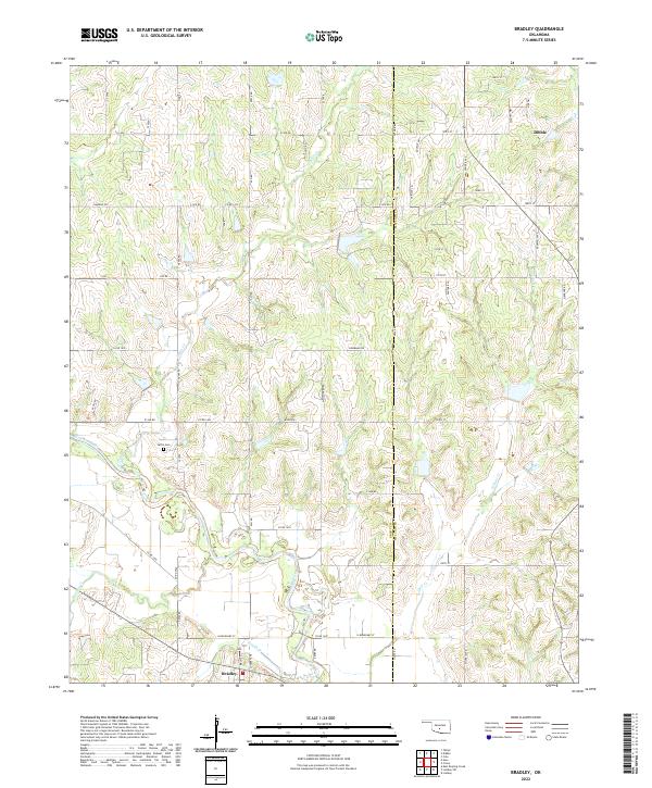
 1966 Bradley1967 Print · USGSMid-century life in Grady County centers on the oil economy and the winding Washita River. Genealogists and local historians can trace the Golden Trend Oil Field, the Laflin Cem, and the small-town layout of Bradley.2 unique versions available
 - 1986 Map of Pauls Valley
 1986 Pauls Valley1986 Print · USGSGarvin County and its neighbors are shown in the mid-1980s during a period of steady growth along the Washita River. Researchers can trace the path of the Atchison Topeka and Santa Fe railroad through Pauls Valley or locate rural sites like Mt Olive Church and Erin Springs.2 unique versions available
 - 2009 Map of Lindsay SW, 2009 Print
 2009 Lindsay SW2009 Print · USGSCovers Bradley, including Lindsay, Grady County, and other nearby areas
 - 2010 Map of Bradley, 2010 Print
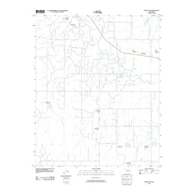
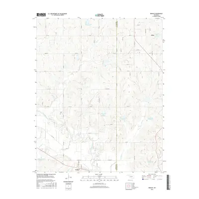
 2010 Bradley2010 Print · USGSCovers Bradley, including Dibble, Grady County, and other nearby areas
 - 2012 Map of Bradley, 2012 Print
 2012 Bradley2012 Print · USGSCovers Bradley, including Dibble, Grady County, and other nearby areas
 - 2012 Map of Lindsay SW, 2012 Print
 2012 Lindsay SW2012 Print · USGSCovers Bradley, including Lindsay, Grady County, and other nearby areas
 - 2016 Map of Lindsay SW, 2016 Print
 2016 Lindsay SW2016 Print · USGSCovers Bradley, including Lindsay, Grady County, and other nearby areas
 - 2016 Map of Bradley, 2016 Print
 2016 Bradley2016 Print · USGSCovers Bradley, including Dibble, Grady County, and other nearby areas
 - 2018 Map of Lindsay SW, 2018 Print
 2018 Lindsay SW2018 Print · USGSCovers Bradley, including Lindsay, Grady County, and other nearby areas
 - 2018 Map of Bradley, 2018 Print
 2018 Bradley2018 Print · USGSCovers Bradley, including Dibble, Grady County, and other nearby areas
 - 2022 Map of Lindsay SW, 2022 Print
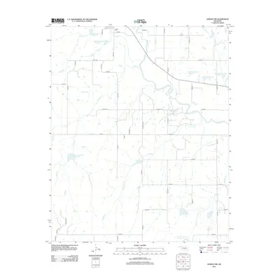
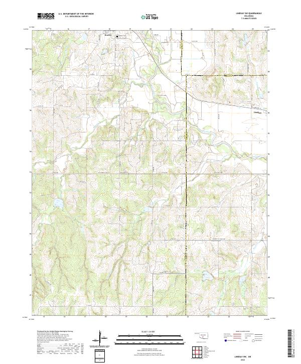 2022 Lindsay SW2022 Print · USGSThe Oklahoma heartland at the intersection of Grady, McClain, and Garvin Counties is shown here in the early twenty-first century. Genealogists and local historians can trace family roots near Bradley, locate the Bradley Cem, and follow the winding course of the Washita River.
 - 2022 Map of Bradley, 2022 Print
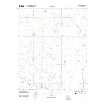
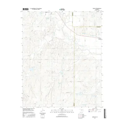
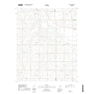
 2022 Bradley2022 Print · USGSCentral Oklahoma's rural landscape at the Grady and McClain county line is documented here in the early twenty-first century. Genealogists and local historians can trace the course of the Washita River and locate Laflin Cem near the communities of Bradley and Dibble.
End of results
Showing maps 1-16 of 16
Top cities near Bradley
- Chickasha historical maps
- Blanchard historical maps
- Marlow historical maps
- Lindsay historical maps
- Goldsby historical maps
- Ninnekah historical maps
See more
Frequently asked questions
- What are the different types of historical maps available for Bradley?
- What is the oldest map of Bradley?
- Where can I purchase historical maps of Bradley for my home or office?
- Where can I download high-res historical maps of Bradley?
- Are there historical topographic maps available for Bradley?
- Is there historical aerial imagery available for Bradley?
- Where are historical maps of Bradley sourced from?