Old Maps of Renfrow, Oklahoma for Academic Research
Study the evolution of Renfrow with 9 high-resolution historic maps. Whether you're teaching, researching, or modeling changes in land use, these maps provide essential visual documentation of urban, environmental, and geographic change.
- Analyze long-term change: Track patterns in development, transportation, and natural features.
- Ideal for environmental or urban studies: Support academic projects with primary historical map data.
- Use in the classroom or lab: Educators and researchers rely on these maps to bring historical context to life.
These maps are a powerful tool for teaching, research, and visualizing how Renfrow has changed over the decades.
Renfrow, OK maps
(9)- 1955 Map of Enid, 1966 Print
 1955 Enid1966 Print · USGSNorth-central Oklahoma's transition from open plains to the blackjack hills of the Osage Indian Reservation is captured in the mid-1950s. Researchers can trace the development of the Naval Reserve Oil Field, the grounds of Vance AFB, and the early footprints of Tulsa and Stillwater.4 unique versions available
 - 1958 Map of Enid
 1958 Enid1958 Print · USGSNorthern Oklahoma is mapped here in the late fifties, showcasing a dense network of petroleum production and historic tribal lands. Researchers can trace the legacy of the Osage Indian Reservation, early energy hubs like the Cushing Oil Field, and the Chilocco Indian Agricultural School.2 unique versions available
 - 1968 Map of Renfrow, 1970 Print
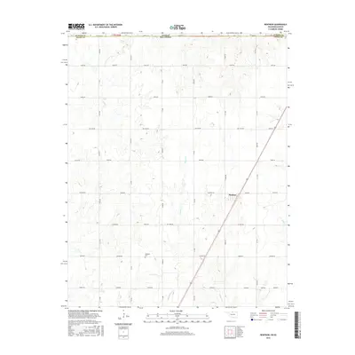
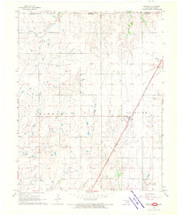 1968 Renfrow1970 Print · USGSNorthern Oklahoma prairie life in the late sixties centers on the rail corridor and expanding energy fields. Researchers can trace the Chicago Rock Island and Pacific line through Renfrow or locate the Richland Cem and early Gas Wells.
 - 1985 Map of Ponca City
 1985 Ponca City1985 Print · USGSNorth-central Oklahoma during the mid-eighties shows a landscape shaped by petroleum and heavy rail. Trace the paths of the Atchison Topeka and Santa Fe through Ponca City or find local landmarks like Northern Oklahoma Junior College and Old Bliss.3 unique versions available
 - 2010 Map of Renfrow, 2010 Print
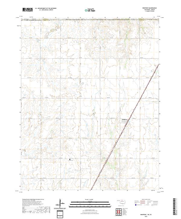
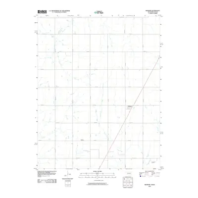 2010 Renfrow2010 Print · USGSCovers Renfrow, including Sumner County, Grant County, and other nearby areas
 - 2012 Map of Renfrow, 2012 Print
 2012 Renfrow2012 Print · USGSCovers Renfrow, including Sumner County, Grant County, and other nearby areas
 - 2016 Map of Renfrow, 2016 Print
 2016 Renfrow2016 Print · USGSCovers Renfrow, including Sumner County, Grant County, and other nearby areas
 - 2018 Map of Renfrow, 2018 Print
 2018 Renfrow2018 Print · USGSCovers Renfrow, including Sumner County, Grant County, and other nearby areas
 - 2022 Map of Renfrow, 2022 Print
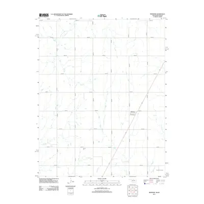
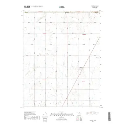
 2022 Renfrow2022 Print · USGSThe northern edge of Oklahoma at the border of Kansas remains a landscape of deep-rooted agricultural grids and prairie drainage. Genealogists and local historians can locate the Richland Cem and trace the paths of Wolf Cr and Polecat Cr through the township.
End of results
Showing maps 1-9 of 9
Top cities near Renfrow
- Caldwell historical maps
- Medford historical maps
- Deer Creek historical maps
- Bluff City historical maps
- Jefferson historical maps
Frequently asked questions
- What are the different types of historical maps available for Renfrow?
- What is the oldest map of Renfrow?
- Where can I purchase historical maps of Renfrow for my home or office?
- Where can I download high-res historical maps of Renfrow?
- Are there historical topographic maps available for Renfrow?
- Is there historical aerial imagery available for Renfrow?
- Where are historical maps of Renfrow sourced from?