Old Maps of McQueen, Oklahoma for Hiking & Exploration
Hike through history with 8 historic maps of McQueen. Explore old trails, ghost towns, and forgotten backroads — perfect for outdoor adventurers and local explorers.
- Rediscover forgotten places: Map out old mining camps, roads, and footpaths that no longer exist on modern maps.
- Layer with modern tools: Combine with LiDAR or satellite views to plan hikes through historical terrain.
- Made for exploration: Popular among hikers, overlanders, and local history lovers.
Use these maps to find adventure and explore the hidden past of McQueen.
McQueen, OK maps
(8)- 1955 Map of Lawton, 1958 Print
 1955 Lawton1958 Print · USGSSouthwestern Oklahoma and North Texas are shown here in the mid-fifties, dominated by the Wichita Mountains and the vital Red River watershed. Genealogists and historians can trace the foundations of Lawton alongside rural landmarks like Rainy Mountain Church and Pleasant Hill School.5 unique versions available
 - 1971 Map of Mc Queen, 1973 Print
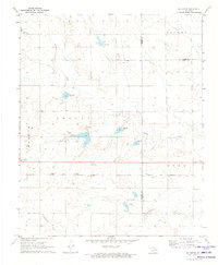 1971 Mc Queen1973 Print · USGSThe rural landscapes of Harmon and Greer counties are captured here in the early 1970s, focused on the small settlement of McQueen. Researchers can trace the path of the Hollis and Eastern railway and find several family-named land divisions like Looney and Tilley.
 - 1985 Map of Altus
 1985 Altus1985 Print · USGSSouthwestern Oklahoma in the mid-eighties shows a vast agricultural and military landscape shaped by the Red River forks. Trace the intersections of the Atchison Topeka and Santa Fe railroad with rural points like Fairmount Cem and Duke.2 unique versions available
 - 2010 Map of McQueen, 2010 Print
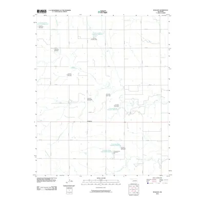 2010 McQueen2010 Print · USGSCovers McQueen, including Jackson County, Greer County, and other nearby areas
 - 2012 Map of McQueen, 2012 Print
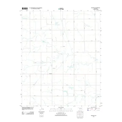 2012 McQueen2012 Print · USGSCovers McQueen, including Jackson County, Greer County, and other nearby areas
 - 2016 Map of McQueen, 2016 Print
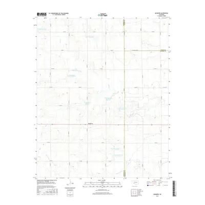 2016 McQueen2016 Print · USGSCovers McQueen, including Jackson County, Greer County, and other nearby areas
 - 2018 Map of McQueen, 2018 Print
 2018 McQueen2018 Print · USGSCovers McQueen, including Jackson County, Greer County, and other nearby areas
 - 2022 Map of McQueen, 2022 Print
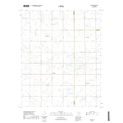
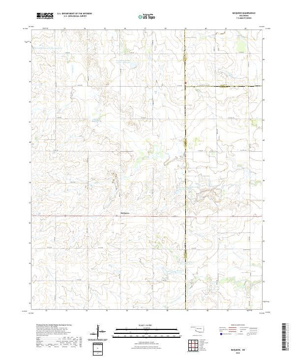 2022 McQueen2022 Print · USGSSouthwestern Oklahoma's agricultural landscape is seen here at the county borders of Harmon, Greer, and Jackson. Local researchers can trace the settlement of McQueen and a network of water management sites like Tri-County Turkey Cr Site 21 Reservoir.
End of results
Showing maps 1-8 of 8
Top cities near McQueen
- Mangum historical maps
- Hollis historical maps
- Eldorado historical maps
- East Duke historical maps
- Gould historical maps
Frequently asked questions
- What are the different types of historical maps available for McQueen?
- What is the oldest map of McQueen?
- Where can I purchase historical maps of McQueen for my home or office?
- Where can I download high-res historical maps of McQueen?
- Are there historical topographic maps available for McQueen?
- Is there historical aerial imagery available for McQueen?
- Where are historical maps of McQueen sourced from?