Old Maps of Buffalo, Oklahoma for Genealogy
Trace your family roots with 15 historic maps of Buffalo. These high-res maps reveal old neighborhoods, homesites, landmarks, and streets — helping you uncover where your ancestors lived and how the area evolved over time.
- Explore historic neighborhoods: Identify where your relatives may have lived in the 1800s or 1900s.
- Compare maps over time: Trace the changes in streets, buildings, and landmarks for multi-generational research.
- Perfect for genealogy & ancestry research: Used by family historians and researchers to map out lineage and migration.
These maps are an incredible resource for exploring your personal connection to Buffalo's past.
Buffalo, OK maps
(15)- 1955 Map of Woodward, 1967 Print
 1955 Woodward1967 Print · USGSNorthwest Oklahoma and the bordering plains are captured during the mid-sixties, showing a landscape defined by river valleys and massive water projects. Researchers can trace family roots in towns like Woodward and Alva or locate landmarks such as the Western Oklahoma State Hospital and Kegelman AF.3 unique versions available
 - 1958 Map of Woodward
 1958 Woodward1958 Print · USGSNorthwest Oklahoma and the neighboring panhandle borders are shown here during a period of steady mid-century growth. Researchers can trace the rail networks of the Atchison Topeka and Santa Fe and locate landmarks like the Western Oklahoma State Hospital and Port Supply Reservoir.2 unique versions available
 - 1970 Map of Buffalo SE, 1973 Print
 1970 Buffalo SE1973 Print · USGSHarper County at the dawn of the seventies shows a prairie landscape shaped by rail and resource extraction. Genealogists and local historians can trace family locations near Hopewell Cem, the Atchison Topeka and Santa Fe tracks, or the outskirts of Buffalo.
 - 1970 Map of Buffalo, 1973 Print
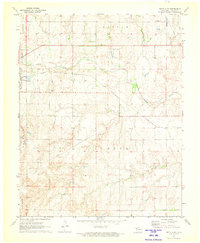
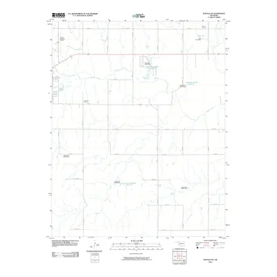
 1970 Buffalo1973 Print · USGSBuffalo and its surrounding Northwest Oklahoma rangeland are captured here at the start of the 1970s. Trace the energy and extraction history of Harper County through numerous Gas Well sites, a Caliche Pit, and the Buffalo Creek drainage.
 - 1985 Map of Buffalo
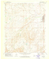
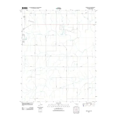
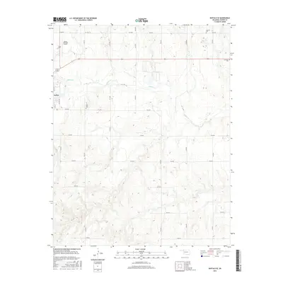
 1985 Buffalo1985 Print · USGSNorthwest Oklahoma in the mid-eighties was a landscape of river basins and rail lines centered around Buffalo and Laverne. Genealogists and historians can trace the paths of the Atchison Topeka and Santa Fe Railroad or locate landmarks like Chimney Rock and Alabaster Caverns.2 unique versions available
 - 2010 Map of Buffalo, 2010 Print
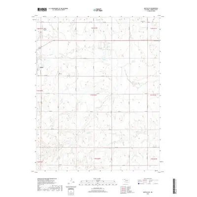
 2010 Buffalo2010 Print · USGSCovers Buffalo, including Harper County, United States, and other nearby areas
 - 2010 Map of Buffalo SE, 2010 Print
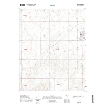
 2010 Buffalo SE2010 Print · USGSCovers Buffalo, including Harper County, United States, and other nearby areas
 - 2012 Map of Buffalo SE, 2012 Print
 2012 Buffalo SE2012 Print · USGSCovers Buffalo, including Harper County, United States, and other nearby areas
 - 2012 Map of Buffalo, 2012 Print
 2012 Buffalo2012 Print · USGSCovers Buffalo, including Harper County, United States, and other nearby areas
 - 2016 Map of Buffalo, 2016 Print
 2016 Buffalo2016 Print · USGSCovers Buffalo, including Harper County, United States, and other nearby areas
 - 2016 Map of Buffalo SE, 2016 Print
 2016 Buffalo SE2016 Print · USGSCovers Buffalo, including Harper County, United States, and other nearby areas
 - 2018 Map of Buffalo SE, 2018 Print
 2018 Buffalo SE2018 Print · USGSCovers Buffalo, including Harper County, United States, and other nearby areas
 - 2018 Map of Buffalo, 2018 Print
 2018 Buffalo2018 Print · USGSCovers Buffalo, including Harper County, United States, and other nearby areas
 - 2022 Map of Buffalo SE, 2022 Print
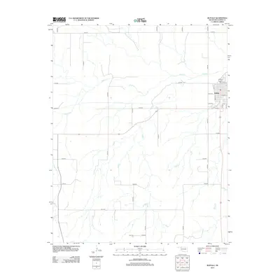
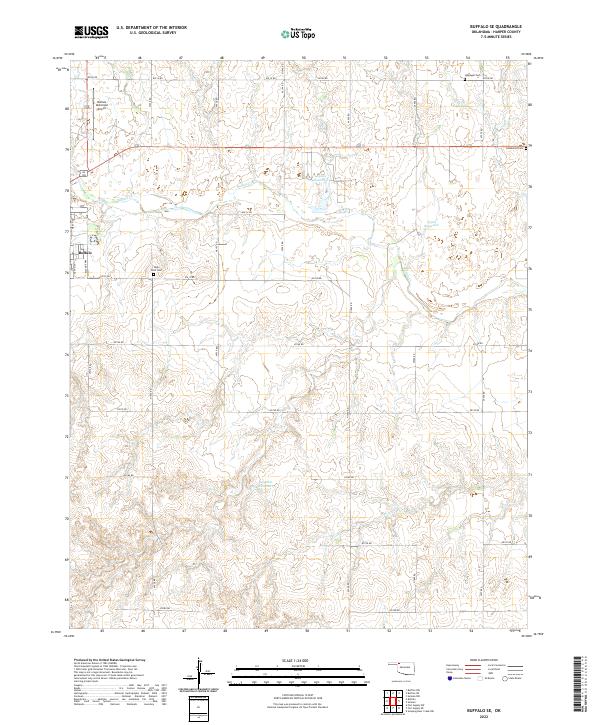 2022 Buffalo SE2022 Print · USGSThe prairie landscape of Harper County is documented here in the early twenty-first century, centered on the community of Buffalo. Genealogists can locate High Point Cem, Hopewell Cem, and Goldenrod Cem among the rural section roads.
 - 2022 Map of Buffalo, 2022 Print
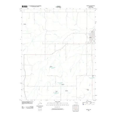
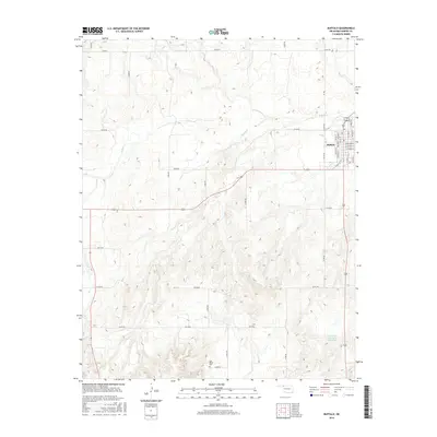
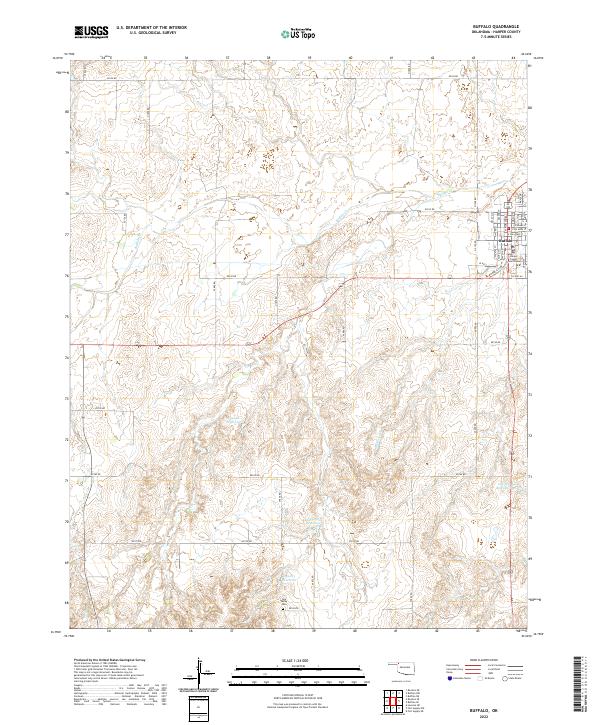 2022 Buffalo2022 Print · USGSBuffalo and the surrounding Oklahoma plains are captured in this 2020s study of Harper County. Genealogists and historians can locate the Harper County Courthouse in town or trace the rural landscape out to the Gyp Valley Cem and Rodkeys Cr.
End of results
Showing maps 1-15 of 15
Top cities near Buffalo
Frequently asked questions
- What are the different types of historical maps available for Buffalo?
- What is the oldest map of Buffalo?
- Where can I purchase historical maps of Buffalo for my home or office?
- Where can I download high-res historical maps of Buffalo?
- Are there historical topographic maps available for Buffalo?
- Is there historical aerial imagery available for Buffalo?
- Where are historical maps of Buffalo sourced from?