2020s Maps of Spaulding, Oklahoma
Explore 2 historic maps of Spaulding from the 2020s. These maps offer a rare glimpse into what life looked like during the 2020s — showing old roads, neighborhoods, homes, and landmarks that have changed or disappeared over time.
Whether you're researching your family's past, planning a metal detecting trip, or studying how Spaulding's landscape evolved across the 2020s, these high-resolution maps are a powerful tool for exploring the history of this region.
- Focus on a specific era: All maps on this page are from the 2020s, giving you a focused view of this time period.
- See what’s changed: Compare century-old streets, trails, and buildings to today's modern landscape using overlays and satellite layers.
- Research with precision: Use these maps for genealogy, historical research, land use analysis, or educational projects.
- View, download, or print: Maps are fully viewable online in high resolution, and can be downloaded or printed for your own records.
Start exploring Spaulding's history through authentic maps from the 2020s. This is your window into the past.
Spaulding, OK maps
(2)- 2022 Map of Holdenville, 2022 Print
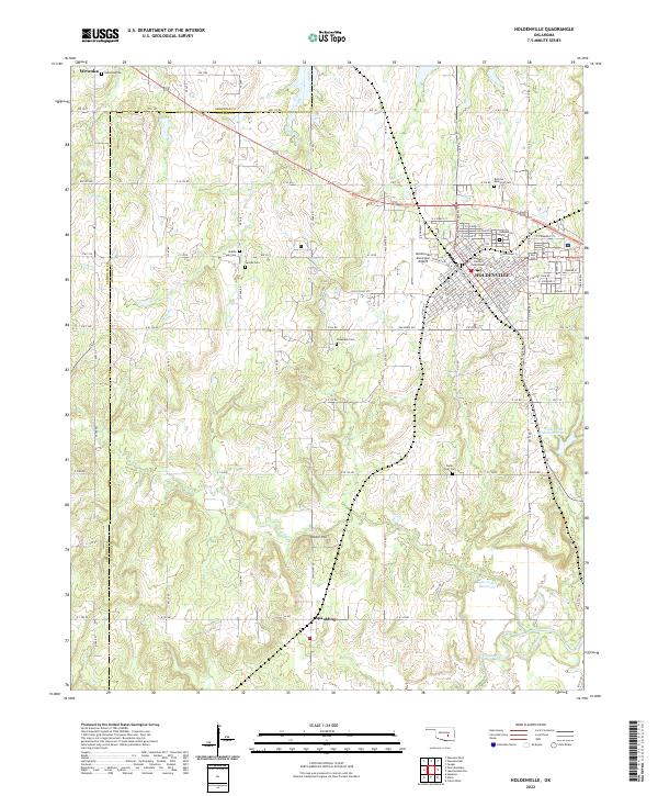 2022 Holdenville2022 Print · USGSHughes County in the early 2020s remains a landscape of established townships and quiet rural crossroads. Genealogists can locate several local burial grounds like Buchner Memorial Cem and Jacobs Cem near the Holdenville Municipal Airport.
 - 2022 Map of Allen, 2022 Print
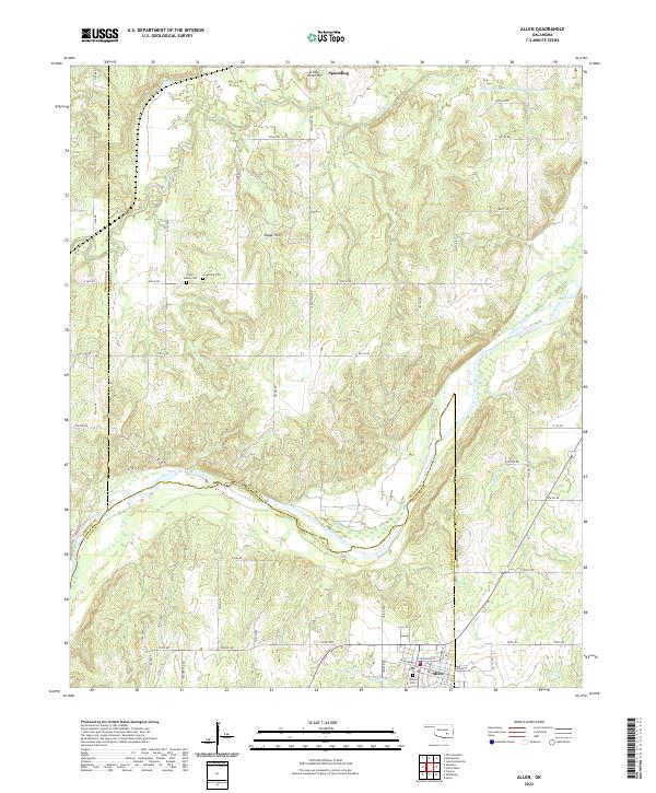 2022 Allen2022 Print · USGSThe tri-county borderlands of Oklahoma come into focus in this contemporary survey of the river-cut landscape around Allen and Spaulding. Researchers can trace local heritage through sites like Tiger Family Cem and Greenleaf Cem along the Canadian River.
End of results
Showing maps 1-2 of 2
Top cities near Spaulding
- Ada historical maps
- Seminole historical maps
- Holdenville historical maps
- Wewoka historical maps
- Wetumka historical maps
- Byng historical maps
See more
Frequently asked questions
- What are the different types of historical maps available for Spaulding?
- What is the oldest map of Spaulding?
- Where can I purchase historical maps of Spaulding for my home or office?
- Where can I download high-res historical maps of Spaulding?
- Are there historical topographic maps available for Spaulding?
- Is there historical aerial imagery available for Spaulding?
- Where are historical maps of Spaulding sourced from?