Old Maps of Gerty, Oklahoma
Explore 12 old maps of Gerty, spanning from 1896 to today. These high-resolution historic maps reveal how streets, neighborhoods, landmarks, and natural features evolved over time — perfect for genealogy, metal detecting, research, and local history exploration.
What you can do with these maps:
- See how Gerty changed over time: Compare historical maps to modern-day views to trace roads, homesites, rail lines & more.
- View detailed metadata: Each map includes creators, publishers, year, scale, and archive source.
- Overlay maps with satellite & LiDAR: Visualize the past alongside modern tools to explore terrain & human change.
- Trusted historical sources: Maps sourced from the USGS, Library of Congress, and other archives.
- Access maps your way: View online, download high-res files, or order prints for personal or research use.
Start exploring old maps of Gerty to uncover forgotten places, hidden landmarks, and the deep history beneath your feet.
Gerty, OK maps
(12)- 1896 Map of Coalgate, 1957 Print
 1896 Coalgate1957 Print · USGSIndian Territory in the mid-1890s shows a landscape of tribal boundaries and nascent rail towns just before the turn of the century. Genealogists and historians can trace the early foundations of Coalgate and Calvin or locate family-named features along Muddy Boggy Creek.
 - 1899 Map of Coalgate
 1899 Coalgate1899 Print · USGSIndian Territory at the close of the nineteenth century is captured here as the coal industry transformed the landscape. Genealogists can trace family roots in the Seminole Nation or search for early mining-era homesites in Coalgate and Phillips.
 - 1900 Map of Coalgate
 1900 Coalgate1900 Print · USGSIndian Territory at the turn of the century shows a land of tribal boundaries and emerging coal towns. Researchers can trace the early rail corridors of the M. K. and T. R. R. and locate vanished communities like Guertie, Citra, and Legal.3 unique versions available
 - 1957 Map of Ardmore, 1968 Print
 1957 Ardmore1968 Print · USGSSouth-central Oklahoma in the late fifties was a landscape of rising reservoir waters and expanding rail lines. Genealogists and historians can trace the foundations of Ardmore and Duncan or locate early recreation sites at Platt National Park and Lake Murray State Park.3 unique versions available
 - 1963 Map of Ardmore
 1963 Ardmore1963 Print · USGSSouthern Oklahoma during the early sixties shows a landscape defined by the Arbuckle Mountains and a booming energy economy. Genealogists and historians can trace family-named sites across the Ardmore Oil Field, find old schools like Southeastern State College, or locate historic markers such as Boggy Depot State Park.2 unique versions available
 - 1967 Map of Gerty, 1968 Print
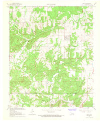 1967 Gerty1968 Print · USGSThe rural landscape of Hughes and Coal counties is captured here in the late sixties, centered on the town of Gerty. Researchers can locate family landmarks like Gerty Cem and Salt Creek Ch or trace the NE Citra Oil and Gas Field.3 unique versions available
 - 1990 Map of Ada
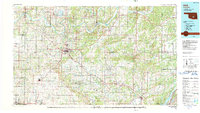 1990 Ada1990 Print · USGSOklahoma's South Central plains and woodlands appear in high detail during the late twentieth century. Genealogists and historians can trace family roots in Ada, locate local institutions like East Central State University, and explore regional hubs like Sulphur or Stonewall.
 - 2009 Map of Gerty, 2009 Print
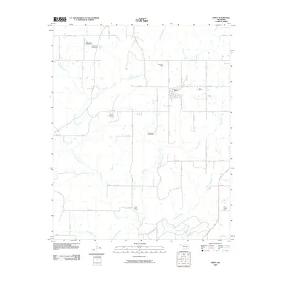 2009 Gerty2009 Print · USGSHughes County remains a landscape of quiet creek bottoms and oil exploration in the first decade of the 2000s. Genealogists and local historians can trace the rural layout of Gerty, the Ne Citra Oil and Gas Field, and the Gerty Cemetery.
 - 2012 Map of Gerty, 2012 Print
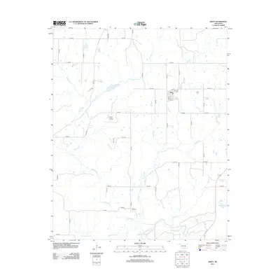 2012 Gerty2012 Print · USGSGerty and the surrounding Hughes County countryside are captured here in the early twenty-first century. Genealogists and local researchers can locate family plots at Gerty Cem or Panther Creek Cem and trace the local energy landscape at the Ne Citra Oil and Gas Field.
 - 2016 Map of Gerty, 2016 Print
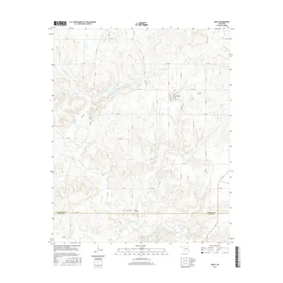 2016 Gerty2016 Print · USGSGerty and the surrounding creek valleys are documented here during the mid-2010s, revealing a landscape of rural roads and water reservoirs. Researchers can locate family landmarks like Gerty Cemetery and Panther Creek Cemetery near Muddy Boggy Creek.
 - 2018 Map of Gerty, 2018 Print
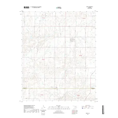 2018 Gerty2018 Print · USGSGerty and the surrounding creek bottoms of Hughes County are captured in this modern survey of southeastern Oklahoma. Genealogists and local historians can trace family locations near Gerty Cemetery or follow the waters of Muddy Boggy Creek and Mike Russell Reservoir.
 - 2022 Map of Gerty, 2022 Print
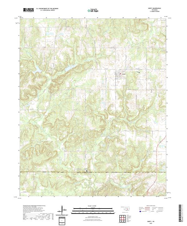 2022 Gerty2022 Print · USGSThe town of Gerty and its surrounding countryside are captured in this modern survey of the Hughes and Coal County line. Genealogists and local researchers can pinpoint the locations of Gerty Cem and Panther Creek Cem or trace the winding course of Muddy Boggy Cr.
End of results
Showing maps 1-12 of 12
Top cities near Gerty
- Allen historical maps
- Calvin historical maps
- Stuart historical maps
- Atwood historical maps
- Centrahoma historical maps
- Spaulding historical maps
See more
Frequently asked questions
- What are the different types of historical maps available for Gerty?
- What is the oldest map of Gerty?
- Where can I purchase historical maps of Gerty for my home or office?
- Where can I download high-res historical maps of Gerty?
- Are there historical topographic maps available for Gerty?
- Is there historical aerial imagery available for Gerty?
- Where are historical maps of Gerty sourced from?