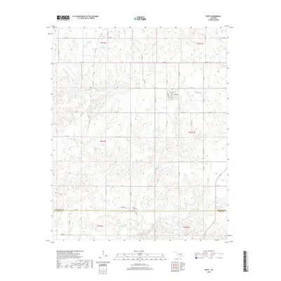
2018 Map of Gerty
USGS Topo · Published 2018About this map
Gerty sits at the intersection of rural road networks in southeastern Oklahoma, serving as a focal point for the surrounding Hughes County landscape. The town plan is delineated by numbered streets such as 4th St and 8th St, while the outlying areas are defined by the convergence of several major creek systems. This 2018 survey reveals a drainage network where Little Sandy Creek and Big Sandy Creek meander through the terrain towards the larger Muddy Boggy Creek to the south. Local heritage is marked by the presence of Gerty Cemetery and Panther Creek Cemetery, providing important touchstones for genealogical research. Water management is a visible priority across the landscape, with various numbered reservoirs and the named Mike Russell Reservoir punctuating the natural flow of Panther Creek and Salt Creek.
Find a feature on this map
42 named features on this map. Tap any name to fly to it.
Don’t see what you’re looking for? This feature index may not catch every label — zoom into the map to look around manually.
Map Details
Editions of this 2018 Gerty Map
This is the sole edition of this map. No revisions or reprints were ever made.
Other maps of this area
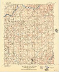
1896 · Coalgate
USGS Topo · 1:125,000
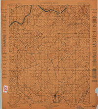
1899 · Coalgate
USGS Topo · 1:125,000
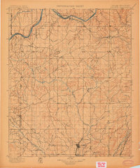
1900 · Coalgate
USGS Topo · 1:125,000
1957 · Tupelo NE
USGS Topo · 1:24,000
1957 · Ardmore
USGS Topo · 1:250,000
1958 · Lula
USGS Topo · 1:24,000
1958 · Steedman
USGS Topo · 1:24,000
1963 · Ardmore
USGS Topo · 1:250,000
1967 · Calvin East
USGS Topo · 1:24,000
1967 · Non
USGS Topo · 1:24,000