
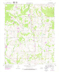
1958 Map of Lula
USGS Topo · Published 1959About this map
The Kansas Oklahoma and Gulf railroad corridor anchors this late-1950s survey of the Oklahoma prairie, cutting a north-south path through the settlement of Lula. The landscape is a transition of wooded creek bottoms and open upland, defined by the winding course of Leader Creek and Sandy Creek. Cultural landmarks are centered around rural gathering points, notably Rocky Point Ch near the high ground of Rocky Point, and Eubanks Ch further south.
Find a feature on this map
23 named features on this map. Tap any name to fly to it.
Don’t see what you’re looking for? This feature index may not catch every label — zoom into the map to look around manually.
Map Details
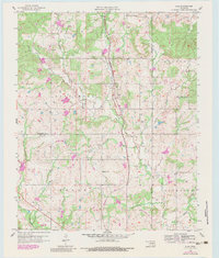
Editions of this 1958 Lula Map
3 editions found
Other maps of this area

1896 · Coalgate
USGS Topo · 1:125,000

1899 · Coalgate
USGS Topo · 1:125,000

1900 · Coalgate
USGS Topo · 1:125,000

1901 · Stonewall
USGS Topo · 1:125,000

1957 · Stonewall
USGS Topo · 1:24,000

1957 · Centrahoma
USGS Topo · 1:24,000

1957 · Tupelo NE
USGS Topo · 1:24,000

1957 · Ardmore
USGS Topo · 1:250,000

1958 · Francis
USGS Topo · 1:24,000

1958 · Steedman
USGS Topo · 1:24,000