
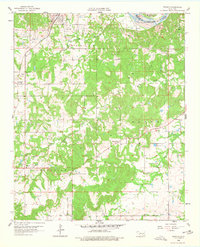
1958 Map of Francis
USGS Topo · Published 1959About this map
The St Louis - San Francisco railroad cuts through the northwestern corner of this territory, passing directly through the town of Francis. This 1950s survey captures a landscape defined by the intersection of traditional agricultural settlement and the petroleum industry, notably seen in the Allen Oil Field which spans across much of the central and northern terrain. Small communities and named rural crossroads such as Oakman, Happyland, and Homer serve as anchors for the local population.
Find a feature on this map
26 named features on this map. Tap any name to fly to it.
Don’t see what you’re looking for? This feature index may not catch every label — zoom into the map to look around manually.
Map Details
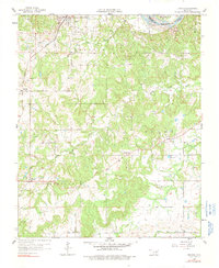
Editions of this 1958 Francis Map
3 editions found
Other maps of this area

1896 · Coalgate
USGS Topo · 1:125,000

1899 · Coalgate
USGS Topo · 1:125,000

1900 · Coalgate
USGS Topo · 1:125,000

1901 · Stonewall
USGS Topo · 1:125,000

1957 · Stonewall
USGS Topo · 1:24,000

1957 · Ardmore
USGS Topo · 1:250,000

1958 · Sasakwa
USGS Topo · 1:24,000

1958 · Lula
USGS Topo · 1:24,000

1958 · Steedman
USGS Topo · 1:24,000

1958 · Ada
USGS Topo · 1:24,000