
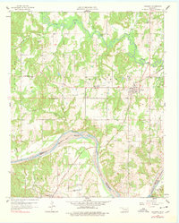
1958 Map of Sasakwa
USGS Topo · Published 1959About this map
Sasakwa sits at a geographic and historical crossroads where the hills of Seminole County and Pontotoc County meet. The landscape is marked by the Approximate Old Indian Boundary, a remnant of tribal land divisions that runs alongside the sweeping curves of the Canadian River. To the north, the Little River and its tributaries like Salt Creek and Clear Creek carve through the terrain, supporting a network of rural life defined by family-named cemeteries and community anchors.
Find a feature on this map
36 named features on this map. Tap any name to fly to it.
Don’t see what you’re looking for? This feature index may not catch every label — zoom into the map to look around manually.
Map Details
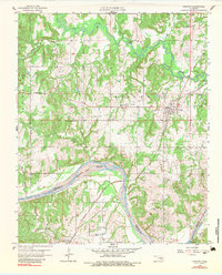
Editions of this 1958 Sasakwa Map
3 editions found
Other maps of this area

1896 · Seminole and Prague
USGS Topo · 1:125,000

1896 · Coalgate
USGS Topo · 1:125,000

1899 · Coalgate
USGS Topo · 1:125,000

1900 · Wewoka
USGS Topo · 1:125,000

1900 · Coalgate
USGS Topo · 1:125,000

1901 · Stonewall
USGS Topo · 1:125,000

1954 · Oklahoma City
USGS Topo · 1:250,000

1957 · Ardmore
USGS Topo · 1:250,000

1957 · Oklahoma City
USGS Topo · 1:250,000

1958 · Francis
USGS Topo · 1:24,000