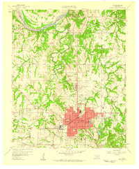
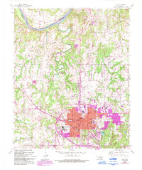
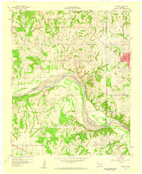
1958 Map of Ada
USGS Topo · Published 1959About this map
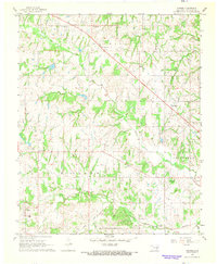
The Ada city center serves as a dense educational and transit hub in the late 1950s, anchored by East Central State College and an extensive network of local schools including Napier High Sch and Washington Sch. A sophisticated rail network defines the local economy, with the Oklahoma City-Ada-Atoka, St Louis-San Francisco, and Atchison Topeka and Santa Fe lines all converging in the city.
Find a feature on this map
41 named features on this map. Tap any name to fly to it.
Don’t see what you’re looking for? This feature index may not catch every label — zoom into the map to look around manually.
Map Details
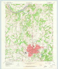
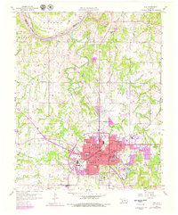
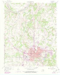
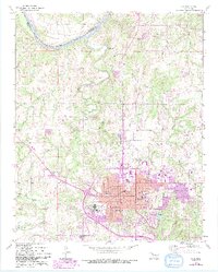
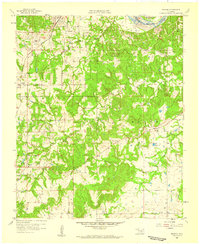
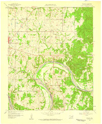
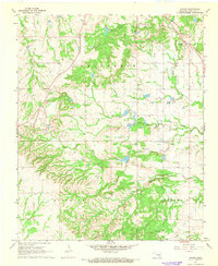
Editions of this 1958 Ada Map
6 editions found
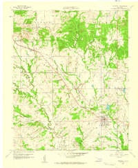
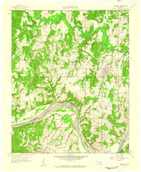
Other maps of this area

1901 · Stonewall
USGS Topo · 1:125,000
1957 · Stonewall
USGS Topo · 1:24,000

1957 · Ardmore
USGS Topo · 1:250,000
1958 · Sasakwa
USGS Topo · 1:24,000
1958 · Francis
USGS Topo · 1:24,000
1958 · Vamoosa
USGS Topo · 1:24,000
1958 · Konawa
USGS Topo · 1:24,000

1963 · Ardmore
USGS Topo · 1:250,000
1967 · Ahloso
USGS Topo · 1:24,000
1967 · Vanoss
USGS Topo · 1:24,000