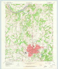
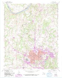
1958 Map of Ada
USGS Topo · Published 1974About this map
Ada serves as the focal point of this late 1950s survey, showing a period of significant educational and civic development in Pontotoc County. The city center is dense with institutional landmarks, including East Central State College, St Joseph Sch, and City Hall. To the southeast, Wintersmith Park and Wintersmith Lake offer a clear view of the city's recreational planning. Beyond the urban limits, the landscape transitions into an active oil field and agricultural terrain, with rural life centered around small communities like Byng and Hird.
Find a feature on this map
52 named features on this map. Tap any name to fly to it.
Don’t see what you’re looking for? This feature index may not catch every label — zoom into the map to look around manually.
Map Details
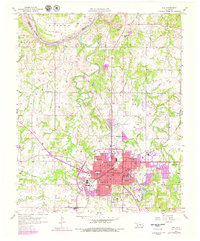
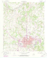
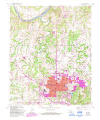
Editions of this 1958 Ada Map
6 editions found
Other maps of this area

1901 · Stonewall
USGS Topo · 1:125,000

1957 · Stonewall
USGS Topo · 1:24,000

1957 · Ardmore
USGS Topo · 1:250,000

1958 · Sasakwa
USGS Topo · 1:24,000

1958 · Francis
USGS Topo · 1:24,000

1958 · Ada
USGS Topo · 1:24,000

1958 · Vamoosa
USGS Topo · 1:24,000

1958 · Konawa
USGS Topo · 1:24,000

1963 · Ardmore
USGS Topo · 1:250,000

1967 · Ahloso
USGS Topo · 1:24,000