
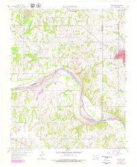
1958 Map of Konawa
USGS Topo · Published 1959About this map
Sacred Heart and Konawa stand as primary hubs of activity in this late-1950s study of central Oklahoma. The landscape is defined by the sweeping curves of the Canadian River, which serves as a natural boundary between Pottawatomie, Seminole, and Pontotoc counties. This era reveals a region deeply tied to its geological resources, evidenced by the extensive Grayson Field, Avoca Field, and Maxwell Field oil developments, alongside localized gravel pits. Small community landmarks like Antioch Ch, Grayson Ch, and several family or community cemeteries such as Vista Cem and Maxwell Cem provide essential data points for genealogists. Tracing the Old Indian Boundary offers a glimpse into the historic territorial divisions that shaped land allotment and settlement patterns south of Maxwell.
Find a feature on this map
28 named features on this map. Tap any name to fly to it.
Don’t see what you’re looking for? This feature index may not catch every label — zoom into the map to look around manually.
Map Details
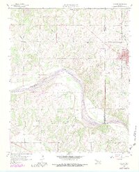
Editions of this 1958 Konawa Map
3 editions found
Other maps of this area

1896 · Seminole and Prague
USGS Topo · 1:125,000

1901 · Stonewall
USGS Topo · 1:125,000

1907 · Maud
USGS Topo · 1:62,500

1908 · Maud
USGS Topo · 1:62,500

1954 · Oklahoma City
USGS Topo · 1:250,000

1957 · Ardmore
USGS Topo · 1:250,000

1957 · Oklahoma City
USGS Topo · 1:250,000
1958 · Pearson
USGS Topo · 1:24,000

1958 · Ada
USGS Topo · 1:24,000

1958 · Vamoosa
USGS Topo · 1:24,000