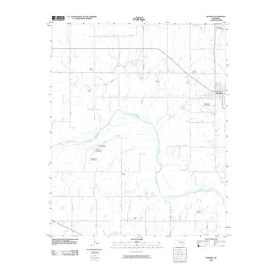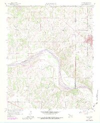
1958 Map of Konawa
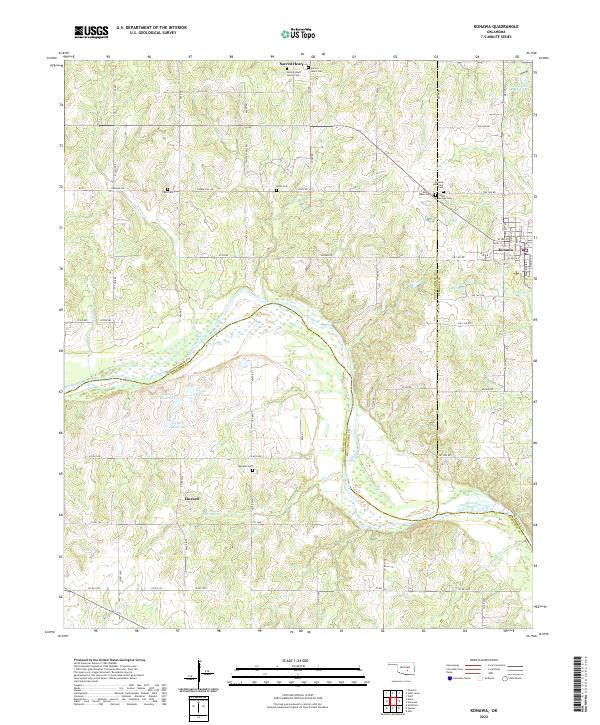
USGS Topo · Published 1983About this map
The Canadian River forms a wide, meandering boundary between the northern uplands and the southern plains in this mid-century survey of the Seminole and Pontotoc county line. The town of Konawa serves as a local hub, situated where the Atchison Topeka and Santa Fe railroad corridor cuts through the eastern portion of the map. This area is heavily defined by its petroleum and agricultural history, visible through named sectors like Avoca Field, Grayson Field, and Sledge Field. Scattered rural life centers on small communities and religious sites such as Sacred Heart, Maxwell, and Antioch Ch. For genealogists, the map is particularly rich in burial data, locating several distinct grounds including Vista Cem, Konawa Cem, and the uniquely named Oil Well Cem, reflecting the deep ties between the land and its industrial heritage.
Find a feature on this map
26 named features on this map. Tap any name to fly to it.
Don’t see what you’re looking for? This feature index may not catch every label — zoom into the map to look around manually.
Map Details
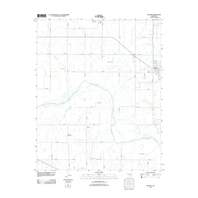
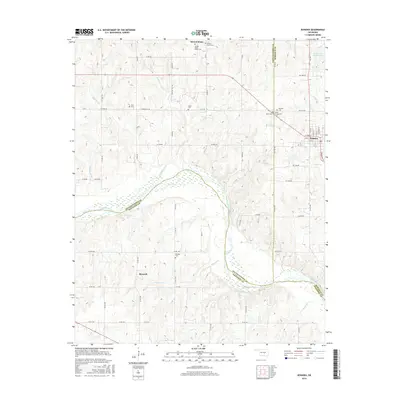
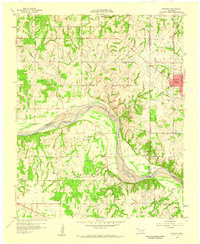
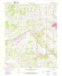
Editions of this 1958 Konawa Map
3 editions found
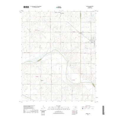
Historical Maps of Konawa Through Time
6 maps found