Loading...
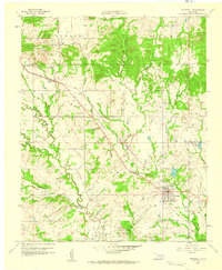
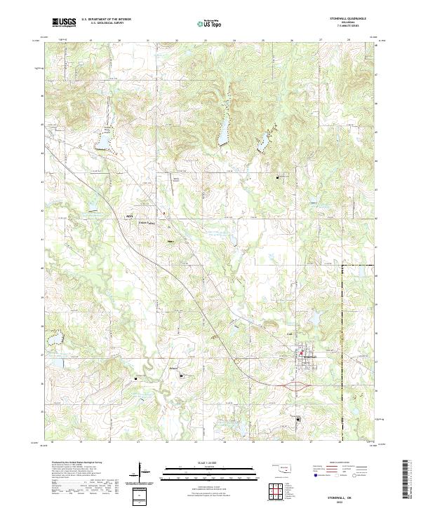
Loading map...1957 Map of Stonewall
USGS Topo · Published 1959About this map
Stonewall serves as the primary population center in this 1957 study, situated near the intersection of various water systems and early transit routes. The landscape is defined by the drainage of Clear Boggy Creek and Rhoda Creek, which support a mix of agricultural land and industrial activity. Evidence of the region's economic drivers is visible through the presence of Oil Wells and a Claypit, while local infrastructure includes a Fish Hatchery and prominent utility features like a Gas Tank.
Find a feature on this map
29 named features on this map. Tap any name to fly to it.
Don’t see what you’re looking for? This feature index may not catch every label — zoom into the map to look around manually.
Map Details
Date Portrayed1957
Date Published1959
PublisherU.S. Geological Survey
Map TypeTopographic
Scale1:24,000
Physical Dimensions22.6 x 27.4 inches
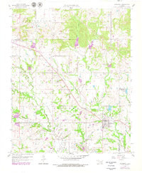
Editions of this 1957 Stonewall Map
2 editions found
Historical Maps of Ada Through Time
7 maps found
Featured Locations
Source Details
SourceU.S. Geological Survey
CopyrightPublic Domain