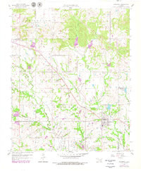
1957 Map of Stonewall
USGS Topo · Published 1979About this map
Stonewall and the surrounding southern Oklahoma landscape are defined by a complex network of creeks and the early development of the region's petroleum and rail infrastructure. At the time of this 1957 survey, the Fitts Oil Field and scattered Oil Wells underscore the industrial character of the area, while the Old Railroad Grade running through the township hints at changing transportation patterns. The rural community structure is visible through the positioning of the Ahloso Sch and Ahloso Cem to the northwest, alongside smaller settlements like Union Valley and Frisco.
Find a feature on this map
32 named features on this map. Tap any name to fly to it.
Don’t see what you’re looking for? This feature index may not catch every label — zoom into the map to look around manually.
Map Details
Editions of this 1957 Stonewall Map
2 editions found
Other maps of this area

1896 · Coalgate
USGS Topo · 1:125,000

1899 · Coalgate
USGS Topo · 1:125,000

1900 · Coalgate
USGS Topo · 1:125,000

1901 · Stonewall
USGS Topo · 1:125,000

1957 · Stonewall
USGS Topo · 1:24,000

1957 · Ardmore
USGS Topo · 1:250,000

1958 · Lula
USGS Topo · 1:24,000

1958 · Francis
USGS Topo · 1:24,000

1958 · Steedman
USGS Topo · 1:24,000

1958 · Ada
USGS Topo · 1:24,000