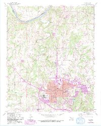
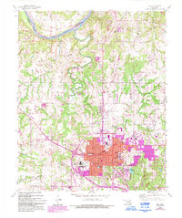
1958 Map of Ada
USGS Topo · Published 1993About this map
The Canadian River flows along the northern edge of this territory, forming the boundary between Pontotoc and Seminole counties. The city of Ada serves as the regional hub, showing a dense concentration of civic and educational infrastructure including East Central University, St Joseph Sch, and several neighborhood campuses like Willard Sch and Washington Sch. Industrial and resource-gathering sites are scattered across the landscape, from the Gravel Pits north of town to the Power Plant and Ada Municipal Airport. Local history is deeply embedded in the land, marked by numerous burial grounds such as the Old Ada Cem, Rosedale Cemetery, and the more remote Egypt Cem to the northwest. To the southeast, Wintersmith Park and Clear Boggy Creek define the city's recreational and natural limits, while small outlying communities like Latta and Grayson anchor the surrounding rural areas.
Find a feature on this map
37 named features on this map. Tap any name to fly to it.
Don’t see what you’re looking for? This feature index may not catch every label — zoom into the map to look around manually.
Map Details
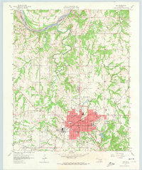
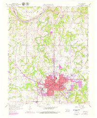
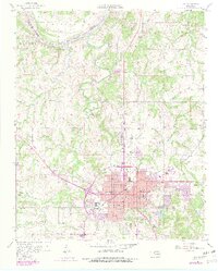
Editions of this 1958 Ada Map
6 editions found
Other maps of this area

1901 · Stonewall
USGS Topo · 1:125,000

1957 · Stonewall
USGS Topo · 1:24,000

1957 · Ardmore
USGS Topo · 1:250,000

1958 · Sasakwa
USGS Topo · 1:24,000

1958 · Francis
USGS Topo · 1:24,000

1958 · Ada
USGS Topo · 1:24,000

1958 · Vamoosa
USGS Topo · 1:24,000

1958 · Konawa
USGS Topo · 1:24,000

1963 · Ardmore
USGS Topo · 1:250,000

1967 · Ahloso
USGS Topo · 1:24,000