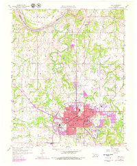
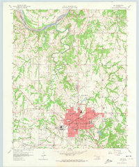
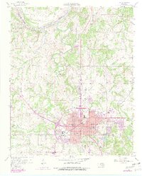
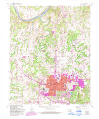
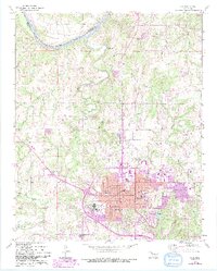
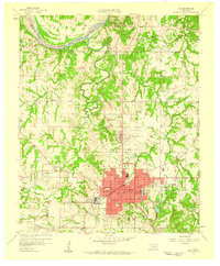
1958 Map of Ada
USGS Topo · Published 1979About this map
The growing city of Ada serves as the central hub of this Pontotoc County landscape, appearing here at a time of significant expansion during the late 1950s. The urban core shows a dense street grid that transitions into the outlying settlements of Byng to the northeast and Hird to the east. The northern border of the map is defined by the winding course of the Canadian River, which separates this region from the adjacent tribal lands. The area's hydrology is further characterized by the drainage of Little Sandy Creek, which cuts through the rolling terrain toward the river. This survey captures the mid-century infrastructure of the region, including the local road networks connecting small communities like Grayson to the primary industrial and educational centers in the city center.
Find a feature on this map
6 named features on this map. Tap any name to fly to it.
Don’t see what you’re looking for? This feature index may not catch every label — zoom into the map to look around manually.
Map Details
Editions of this 1958 Ada Map
6 editions found
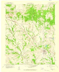
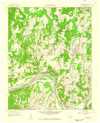
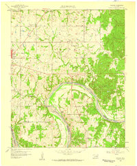
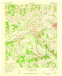
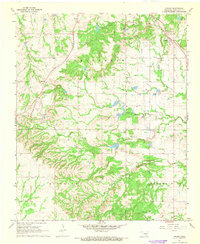
Other maps of this area

1901 · Stonewall
USGS Topo · 1:125,000
1957 · Stonewall
USGS Topo · 1:24,000

1957 · Ardmore
USGS Topo · 1:250,000
1958 · Sasakwa
USGS Topo · 1:24,000
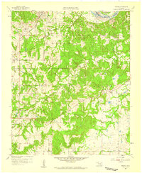
1958 · Francis
USGS Topo · 1:24,000
1958 · Ada
USGS Topo · 1:24,000
1958 · Vamoosa
USGS Topo · 1:24,000
1958 · Konawa
USGS Topo · 1:24,000

1963 · Ardmore
USGS Topo · 1:250,000
1967 · Ahloso
USGS Topo · 1:24,000