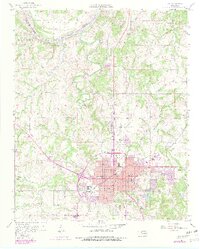
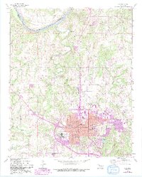
1958 Map of Ada
USGS Topo · Published 1979About this map
The Maxwell Oil Field dominates the northwest corner of this landscape, marking the intersection of the Canadian River and the historical Old Indian Bdy. This 1950s era survey, updated in the late 1970s, captures the city of Ada as a regional hub of education and transport. The campus of East Central State College sits on the eastern edge of the urban grid, while a network of railroads, including the St Louis San Francisco and the Atchison Topeka and Santa Fe, converge near the city center.
Find a feature on this map
58 named features on this map. Tap any name to fly to it.
Don’t see what you’re looking for? This feature index may not catch every label — zoom into the map to look around manually.
Map Details
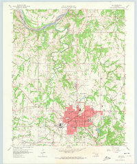
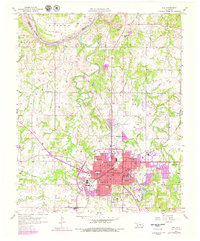
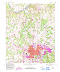
Editions of this 1958 Ada Map
6 editions found
Other maps of this area

1901 · Stonewall
USGS Topo · 1:125,000

1957 · Stonewall
USGS Topo · 1:24,000

1957 · Ardmore
USGS Topo · 1:250,000

1958 · Sasakwa
USGS Topo · 1:24,000

1958 · Francis
USGS Topo · 1:24,000

1958 · Ada
USGS Topo · 1:24,000

1958 · Vamoosa
USGS Topo · 1:24,000

1958 · Konawa
USGS Topo · 1:24,000

1963 · Ardmore
USGS Topo · 1:250,000

1967 · Ahloso
USGS Topo · 1:24,000