
1957 Map of Centrahoma
USGS Topo · Published 1959About this map
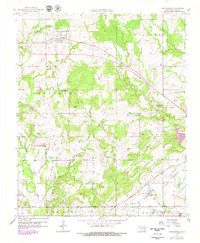
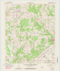
Centrahoma serves as the primary hub of this 1957 survey, situated near an extensive Oil And Gas Field. The landscape is defined by the convergence of major waterways, including the winding Clear Boggy Creek and its many tributaries like Caney Creek, Boggy Creek, and Peach Creek. These drainage patterns reflect the natural topography that shaped the early development of Coal County. Evidence of mid-century community life is scattered throughout the region, from the Nixon Ch to the Round Lake Cem, while an Oak Grove Sch (Abandoned) suggests shifts in the local rural school system.
Find a feature on this map
23 named features on this map. Tap any name to fly to it.
Don’t see what you’re looking for? This feature index may not catch every label — zoom into the map to look around manually.
Map Details
Editions of this 1957 Centrahoma Map
3 editions found
Other maps of this area

1896 · Coalgate
USGS Topo · 1:125,000

1899 · Coalgate
USGS Topo · 1:125,000

1899 · Atoka
USGS Topo · 1:125,000

1900 · Atoka
USGS Topo · 1:125,000

1900 · Coalgate
USGS Topo · 1:125,000

1957 · Coalgate
USGS Topo · 1:24,000

1957 · Lehigh
USGS Topo · 1:24,000

1957 · Tupelo NE
USGS Topo · 1:24,000

1957 · Ardmore
USGS Topo · 1:250,000

1958 · Lula
USGS Topo · 1:24,000