
1957 Map of Lehigh
USGS Topo · Published 1958About this map
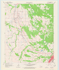
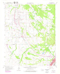
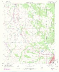
Lehigh and its surrounding coal-rich landscape are defined by a complex network of resource extraction and community life as documented in the mid-1950s. The terrain is marked by extensive Strip Mine operations running north to south, cutting through the landscape near Phillips and the western edge of the settlement. These mining scars contrast with the civic structure of Atoka in the southeast corner, where a grid of streets including Court St and California St supports a growing county seat. The local social fabric is traced through landmarks such as Macedonia Ch and Macedonia Sch to the east, while the Atoka Landing Field and Atoka Lake show the developing infrastructure of the era. Genealogists will find particular value in the location of the Lehigh Cem and Old Lehigh Cem, preserving the history of this industrial crossroads where Muddy Boggy Creek and its many tributaries flow through the hills.
Find a feature on this map
29 named features on this map. Tap any name to fly to it.
Don’t see what you’re looking for? This feature index may not catch every label — zoom into the map to look around manually.
Map Details
Editions of this 1957 Lehigh Map
4 editions found
Other maps of this area

1896 · Coalgate
USGS Topo · 1:125,000

1899 · Coalgate
USGS Topo · 1:125,000

1899 · Atoka
USGS Topo · 1:125,000

1900 · Atoka
USGS Topo · 1:125,000

1900 · Coalgate
USGS Topo · 1:125,000

1956 · Stringtown
USGS Topo · 1:24,000

1957 · Coalgate
USGS Topo · 1:24,000

1957 · Coalgate SE
USGS Topo · 1:24,000

1957 · Bruno
USGS Topo · 1:24,000

1957 · Centrahoma
USGS Topo · 1:24,000