Loading...
Loading map...1957 Map of Lehigh
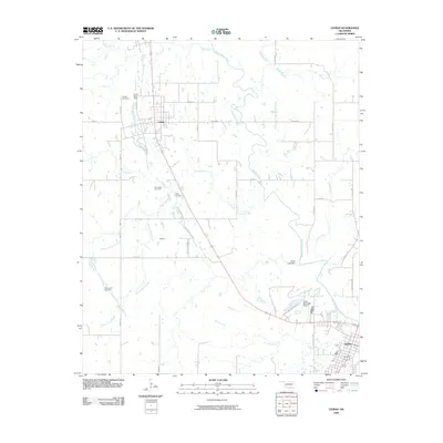
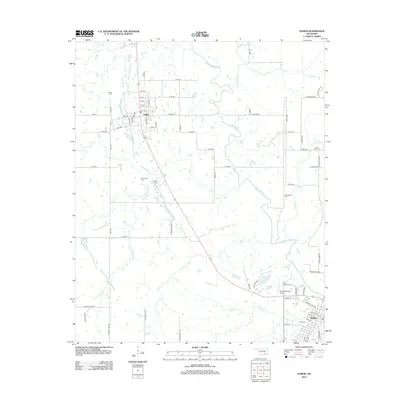
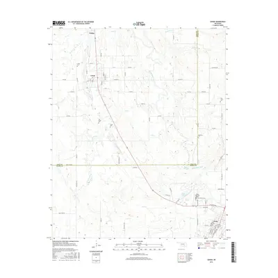
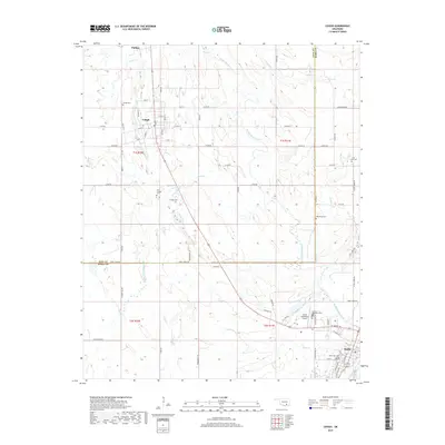
USGS Topo · Published 1977About this map
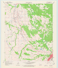
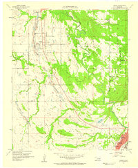
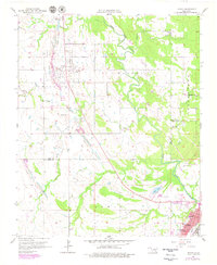
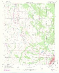
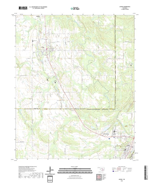
Lehigh Strip Mine and other excavations dominate the landscape between the settlements of Phillips and Lehigh during the late 1950s. This industrial activity follows the coal-bearing formations near Coal Creek, cutting across the terrain of Hickory Hill. The map documents a transition from extractive industry to water management, notably with the presence of Atoka Lake and a reservoir serving the region.
Find a feature on this map
32 named features on this map. Tap any name to fly to it.
Don’t see what you’re looking for? This feature index may not catch every label — zoom into the map to look around manually.
Map Details
Date Portrayed1957
Date Published1977
PublisherU.S. Geological Survey
Map TypeTopographic
Scale1:24,000
Physical Dimensions22.9 x 27.1 inches
Editions of this 1957 Lehigh Map
4 editions found
Historical Maps of Atoka Through Time
6 maps found
Featured Locations
Source Details
SourceU.S. Geological Survey
CopyrightPublic Domain