
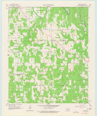
1957 Map of Bruno
USGS Topo · Published 1958About this map
Muddy Boggy Creek defines the northern landscape of this Atoka County region, winding through the township of Stringtown as it appeared in the late 1950s. The area is characterized by a high density of rural institutions that suggest a closely-knit community structure, with small schools like Harmony Sch and Blackjack Sch serving the local population. The small settlement of Bruno sits near the center of the quadrangle, surrounded by several denominational landmarks including Faith Tabernacle, Buffalo Ch, and New Zion Ch.
Find a feature on this map
26 named features on this map. Tap any name to fly to it.
Don’t see what you’re looking for? This feature index may not catch every label — zoom into the map to look around manually.
Map Details
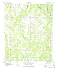
Editions of this 1957 Bruno Map
3 editions found
Other maps of this area

1899 · Atoka
USGS Topo · 1:125,000

1900 · Atoka
USGS Topo · 1:125,000

1901 · Antlers
USGS Topo · 1:125,000

1912 · Antlers
USGS Topo · 1:125,000

1925 · Antlers
USGS Topo · 1:125,000

1950 · Mcalester
USGS Topo · 1:250,000

1956 · Stringtown
USGS Topo · 1:24,000

1957 · Lane NW
USGS Topo · 1:24,000

1957 · Lehigh
USGS Topo · 1:24,000

1957 · Lane
USGS Topo · 1:24,000