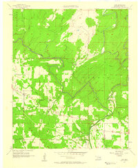
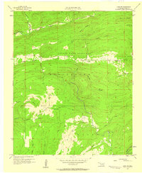
1957 Map of Lane
USGS Topo · Published 1958About this map
Muddy Boggy Creek and its many tributaries, including McGee Creek and Potapo Creek, dominate this mid-century landscape in Atoka County. The settlement of Lane serves as a primary hub, while smaller community markers like Butler Sch and Butler Cem indicate the localized rural infrastructure of the late 1950s. The presence of Oil Wells and an Oil Tank near Wilson Creek reflects the region's industrial activity during this period. Local transportation is anchored by landmarks such as Gidney Station and the river passage at Payton Crossing. To the southwest, Iron Stob Ch stands as a notable landmark within the Bentley district, while the sharp meander of Negro Bend highlights the complex hydrology of the creek system. This survey provides a clear view of the family-named landmarks and small-scale water systems that shaped the county's interior.
Find a feature on this map
27 named features on this map. Tap any name to fly to it.
Don’t see what you’re looking for? This feature index may not catch every label — zoom into the map to look around manually.
Map Details
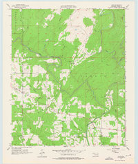
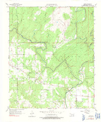
Editions of this 1957 Lane Map
3 editions found
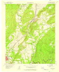
Other maps of this area

1899 · Atoka
USGS Topo · 1:125,000

1900 · Atoka
USGS Topo · 1:125,000

1901 · Antlers
USGS Topo · 1:125,000

1912 · Antlers
USGS Topo · 1:125,000

1925 · Antlers
USGS Topo · 1:125,000

1950 · Mcalester
USGS Topo · 1:250,000
1956 · Stringtown
USGS Topo · 1:24,000
1957 · Lane NW
USGS Topo · 1:24,000
1957 · Farris
USGS Topo · 1:24,000
1957 · Bruno
USGS Topo · 1:24,000