1957 Map of Lane
USGS Topo · Published 1991About this map
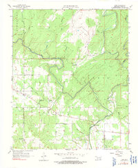
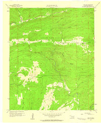
Muddy Boggy Creek winds through the heart of this Atoka County landscape, defining the local geography alongside numerous tributaries like Potapo Creek and McGee Creek. The settlement of Lane serves as a central hub, surrounded by institutional landmarks important to family history research, such as the Iron Stob Ch, Butler Sch, and Butler Cem. The map illustrates a rural economy transitioning into the mid-century, with scattered Oil Wells and an Oil Tank appearing near the northern reaches of the creek system.
Find a feature on this map
27 named features on this map. Tap any name to fly to it.
Don’t see what you’re looking for? This feature index may not catch every label — zoom into the map to look around manually.
Map Details
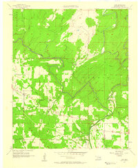
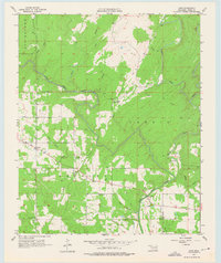
Editions of this 1957 Lane Map
3 editions found
Other maps of this area

1899 · Atoka
USGS Topo · 1:125,000

1900 · Atoka
USGS Topo · 1:125,000

1901 · Antlers
USGS Topo · 1:125,000

1912 · Antlers
USGS Topo · 1:125,000

1925 · Antlers
USGS Topo · 1:125,000

1950 · Mcalester
USGS Topo · 1:250,000
1956 · Stringtown
USGS Topo · 1:24,000
1957 · Lane NW
USGS Topo · 1:24,000
1957 · Farris
USGS Topo · 1:24,000
1957 · Bruno
USGS Topo · 1:24,000