
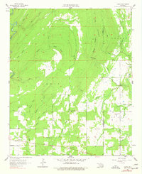
1957 Map of Farris
USGS Topo · Published 1958About this map
Farris and the rural crossings of the Atoka and Pushmataha County line define this southeastern Oklahoma landscape in the late 1950s. The settlement pattern is anchored by local hubs like Center Point and Colby, where small community centers such as the Center Point Ch and Pine Springs Sch serve the surrounding farmsteads. Significant for genealogical research, the area is dotted with family and community landmarks including the Round Lake Cem and Sugarloaf Cem.
Find a feature on this map
39 named features on this map. Tap any name to fly to it.
Don’t see what you’re looking for? This feature index may not catch every label — zoom into the map to look around manually.
Map Details
Editions of this 1957 Farris Map
3 editions found
Other maps of this area

1901 · Antlers
USGS Topo · 1:125,000

1912 · Antlers
USGS Topo · 1:125,000

1925 · Antlers
USGS Topo · 1:125,000

1950 · Mcalester
USGS Topo · 1:250,000

1957 · Lane NW
USGS Topo · 1:24,000

1957 · Moyers
USGS Topo · 1:24,000

1957 · Jumbo
USGS Topo · 1:24,000

1957 · Lane
USGS Topo · 1:24,000

1957 · Lane NE
USGS Topo · 1:24,000
1961 · Darwin
USGS Topo · 1:24,000