
1957 Map of Jumbo
USGS Topo · Published 1958About this map
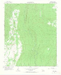
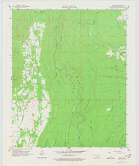
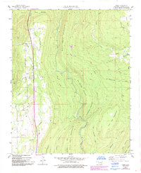
Jumbo sits along the western edge of this 1957 terrain study, marking a small pocket of human activity within a landscape of ridge-and-valley formations in the Ouachita region. The area is defined by a series of parallel peaks including Buck Creek Mountain, White Rock Mountain, and Flat Top Mountain. These elevations direct the flow of a dense network of streams such as Buck Creek, Tenmile Creek, and Wildhorse Creek.
Find a feature on this map
28 named features on this map. Tap any name to fly to it.
Don’t see what you’re looking for? This feature index may not catch every label — zoom into the map to look around manually.
Map Details
Editions of this 1957 Jumbo Map
4 editions found
Other maps of this area

1898 · McAlester
USGS Topo · 1:125,000

1901 · Antlers
USGS Topo · 1:125,000

1909 · Mc Alester
USGS Topo · 1:125,000

1912 · Antlers
USGS Topo · 1:125,000

1925 · Antlers
USGS Topo · 1:125,000

1950 · Mcalester
USGS Topo · 1:250,000

1957 · Farris
USGS Topo · 1:24,000

1957 · Moyers
USGS Topo · 1:24,000

1957 · Lane NE
USGS Topo · 1:24,000

1962 · McAlester
USGS Topo · 1:250,000