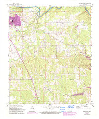
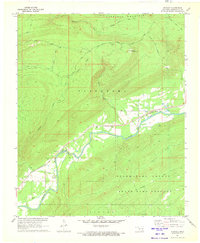
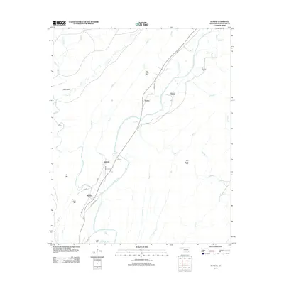
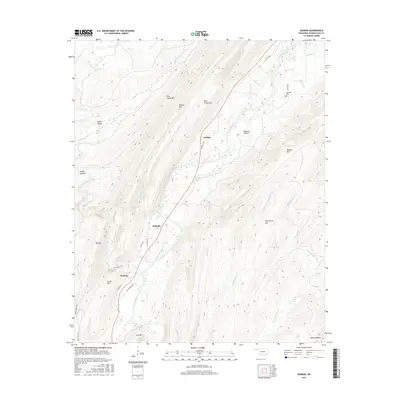
1957 Map of Jumbo
USGS Topo · Published 1993About this map
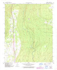
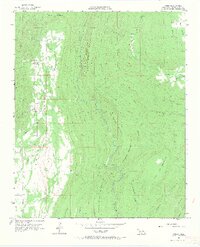
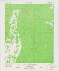
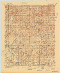
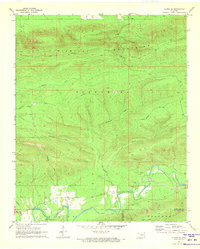
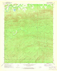
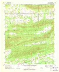
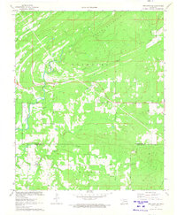
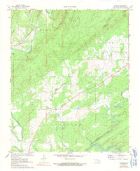
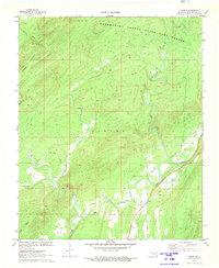
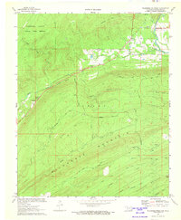
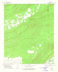
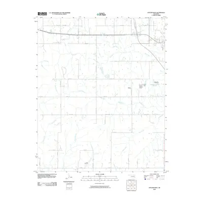
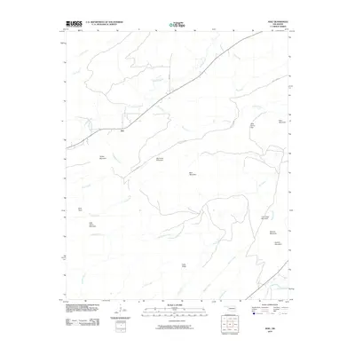
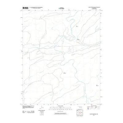
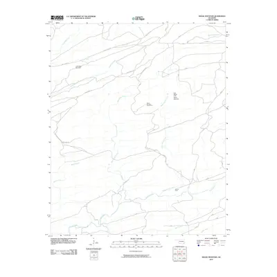
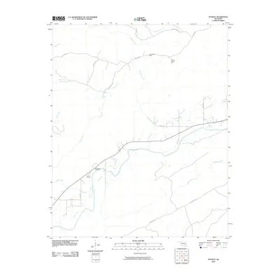
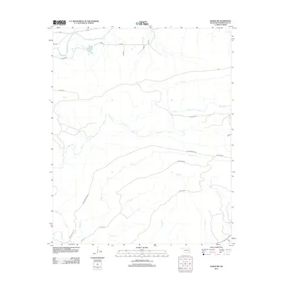
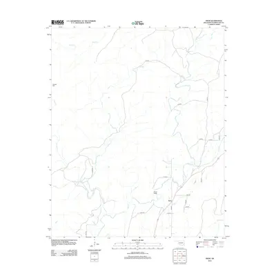
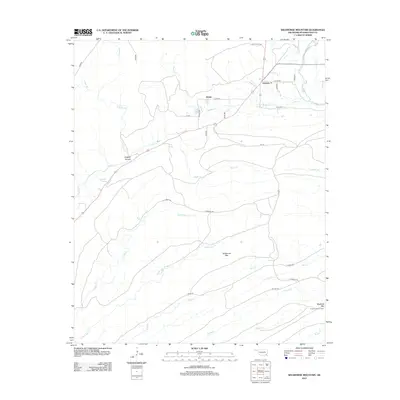
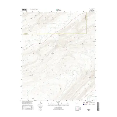
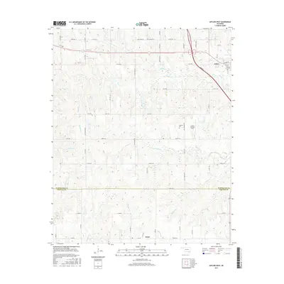
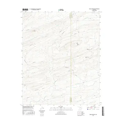
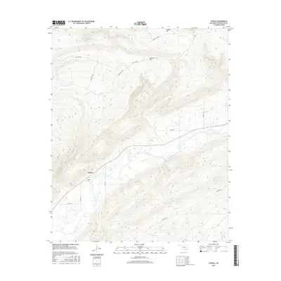
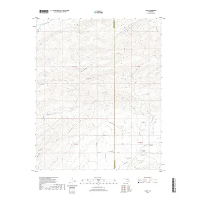
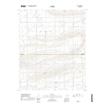
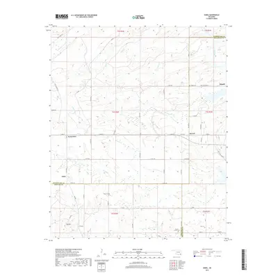
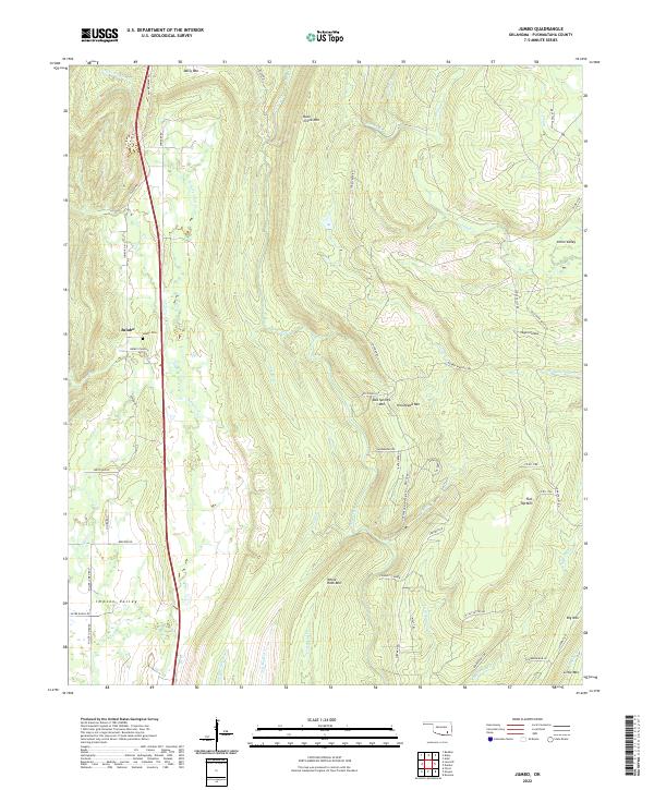
Impson Valley defines the western corridor of this Pushmataha County landscape, where the settlement of Jumbo is situated along the water of Tenmile Creek. This 1957 survey, later revised in the 1990s, documents the introduction of the Indian Nation Turnpike, which cuts a modern path through the traditional terrain. The geography is characterized by numerous named ridges and basins, including Daisy Mountain, Box Springs Mountain, and the expansive Johns Valley to the northeast. Beyond the valley floors, the map records industrial footprints such as a lone Oil Well and the grazing potential of the Salt Lick. The intricate drainage network of Horsehead Creek, Buck Creek, and Wildhorse Creek highlights the complex watershed that feeds the surrounding lowlands. These topographic details illustrate the transition from isolated rural community to a more connected regional infrastructure while maintaining its distinct upland character.
Find a feature on this map
32 named features on this map. Tap any name to fly to it.
Don’t see what you’re looking for? This feature index may not catch every label — zoom into the map to look around manually.
Map Details
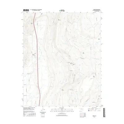
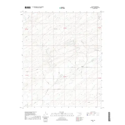
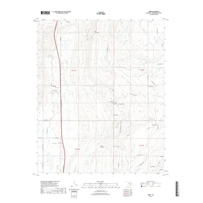
Editions of this 1957 Jumbo Map
4 editions found

Historical Maps of Jumbo Through Time
109 maps found
1901 Alikchi
Pushmataha County, OK
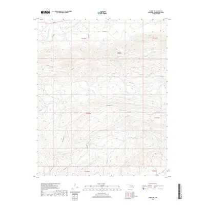
1957 Jumbo
Pushmataha County, OK
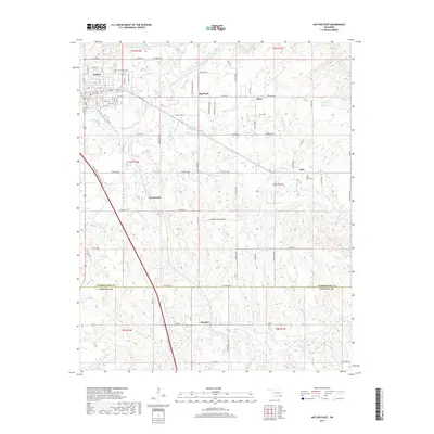
1961 Antlers East
Pushmataha County, OK
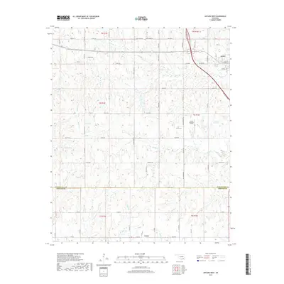
1961 Antlers West
Pushmataha County, OK
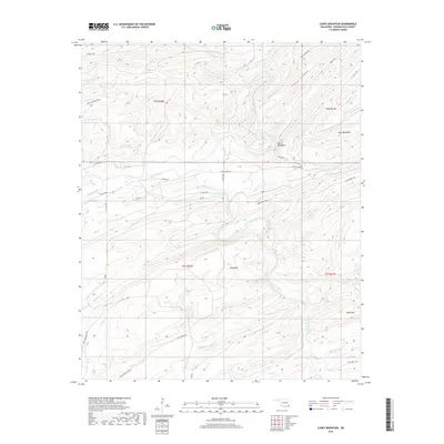
1962 Caney Mountain
Pushmataha County, OK
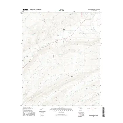
1962 Signal Mountain
Pushmataha County, OK

1962 Sobol
Pushmataha County, OK
1971 Albion SE
Pushmataha County, OK
1971 Albion SW
Pushmataha County, OK
1971 Kiamichi
Pushmataha County, OK
1971 Spencerville
Pushmataha County, OK
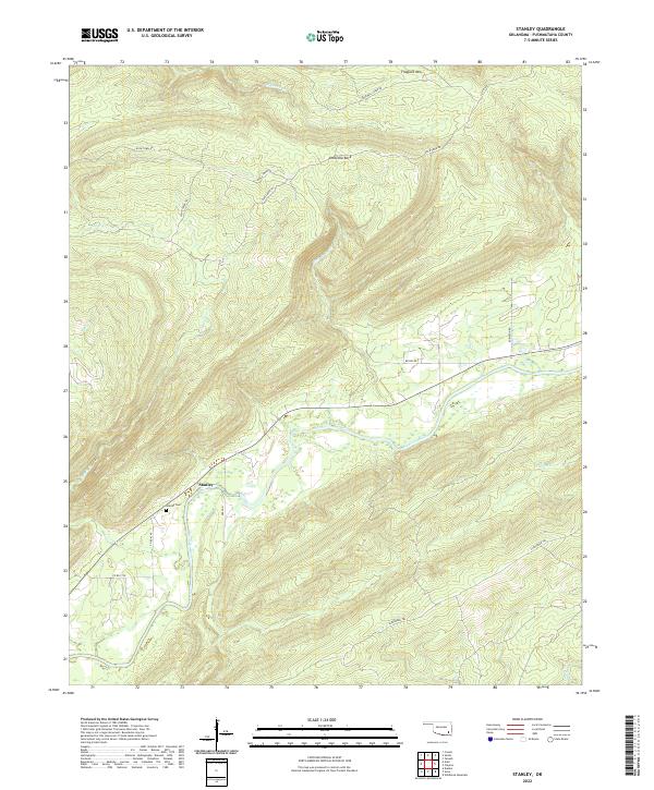
1971 Stanley
Pushmataha County, OK
1972 Clebit
Pushmataha County, OK
1972 Cloudy
Pushmataha County, OK
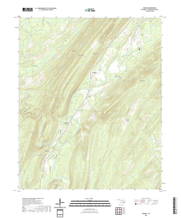
1972 Dunbar
Pushmataha County, OK
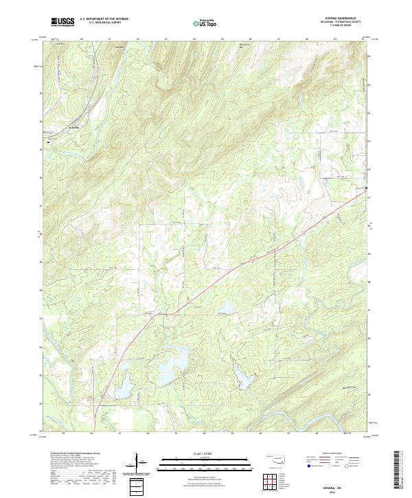
1972 Kosoma
Pushmataha County, OK
1972 Snow
Pushmataha County, OK
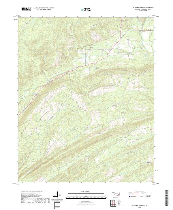
1972 Wildhorse Mountain
Pushmataha County, OK
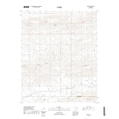
1973 Adel
Pushmataha County, OK
2009 Antlers West
Pushmataha County, OK
2009 Clebit
Pushmataha County, OK
2009 Cloudy
Pushmataha County, OK
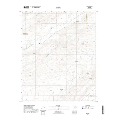
2009 Jumbo
Pushmataha County, OK
2010 Adel
Pushmataha County, OK
2010 Albion SE
Pushmataha County, OK
2010 Albion SW
Pushmataha County, OK
2010 Antlers East
Pushmataha County, OK
2010 Caney Mountain
Pushmataha County, OK
2010 Dunbar
Pushmataha County, OK
2010 Kiamichi
Pushmataha County, OK
2010 Kosoma
Pushmataha County, OK
2010 Signal Mountain
Pushmataha County, OK
2010 Snow
Pushmataha County, OK
2010 Sobol
Pushmataha County, OK
2010 Spencerville
Pushmataha County, OK
2010 Stanley
Pushmataha County, OK
2010 Wildhorse Mountain
Pushmataha County, OK
2012 Adel
Pushmataha County, OK
2012 Albion SE
Pushmataha County, OK
2012 Albion SW
Pushmataha County, OK
2012 Caney Mountain
Pushmataha County, OK
2012 Clebit
Pushmataha County, OK
2012 Cloudy
Pushmataha County, OK
2012 Dunbar
Pushmataha County, OK
2012 Jumbo
Pushmataha County, OK
2012 Kiamichi
Pushmataha County, OK
2012 Signal Mountain
Pushmataha County, OK
2012 Snow
Pushmataha County, OK
2012 Sobol
Pushmataha County, OK
2012 Spencerville
Pushmataha County, OK
2012 Stanley
Pushmataha County, OK
2012 Wildhorse Mountain
Pushmataha County, OK
2013 Antlers East
Pushmataha County, OK
2013 Antlers West
Pushmataha County, OK
2013 Kosoma
Pushmataha County, OK
2016 Adel
Pushmataha County, OK
2016 Albion SE
Pushmataha County, OK
2016 Albion SW
Pushmataha County, OK
2016 Antlers East
Pushmataha County, OK
2016 Antlers West
Pushmataha County, OK
2016 Caney Mountain
Pushmataha County, OK
2016 Clebit
Pushmataha County, OK
2016 Cloudy
Pushmataha County, OK
2016 Dunbar
Pushmataha County, OK
2016 Jumbo
Pushmataha County, OK
2016 Kiamichi
Pushmataha County, OK
2016 Kosoma
Pushmataha County, OK
2016 Signal Mountain
Pushmataha County, OK
2016 Snow
Pushmataha County, OK
2016 Sobol
Pushmataha County, OK
2016 Spencerville
Pushmataha County, OK
2016 Stanley
Pushmataha County, OK
2016 Wildhorse Mountain
Pushmataha County, OK
2019 Adel
Pushmataha County, OK
2019 Albion SE
Pushmataha County, OK
2019 Albion SW
Pushmataha County, OK
2019 Antlers East
Pushmataha County, OK
2019 Antlers West
Pushmataha County, OK
2019 Caney Mountain
Pushmataha County, OK
2019 Clebit
Pushmataha County, OK
2019 Cloudy
Pushmataha County, OK
2019 Dunbar
Pushmataha County, OK
2019 Jumbo
Pushmataha County, OK
2019 Kiamichi
Pushmataha County, OK
2019 Kosoma
Pushmataha County, OK
2019 Signal Mountain
Pushmataha County, OK
2019 Snow
Pushmataha County, OK
2019 Sobol
Pushmataha County, OK
2019 Spencerville
Pushmataha County, OK
2019 Stanley
Pushmataha County, OK
2019 Wildhorse Mountain
Pushmataha County, OK
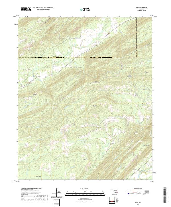
2022 Adel
Pushmataha County, OK
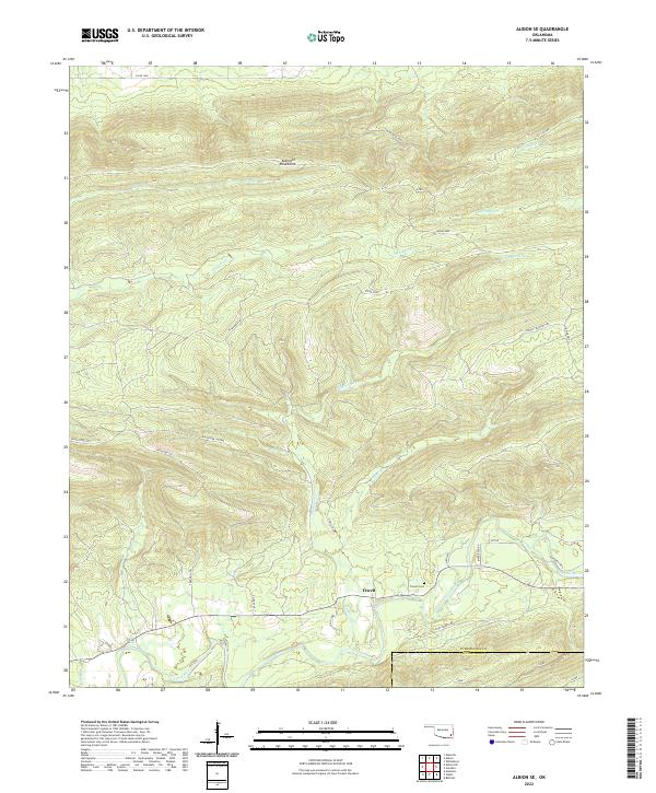
2022 Albion SE
Pushmataha County, OK
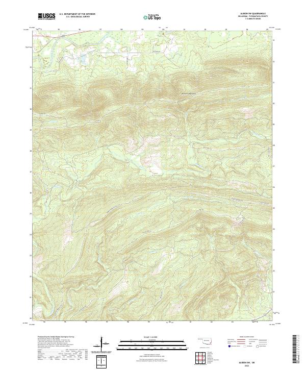
2022 Albion SW
Pushmataha County, OK
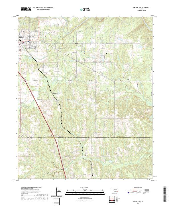
2022 Antlers East
Pushmataha County, OK
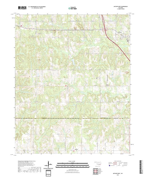
2022 Antlers West
Pushmataha County, OK
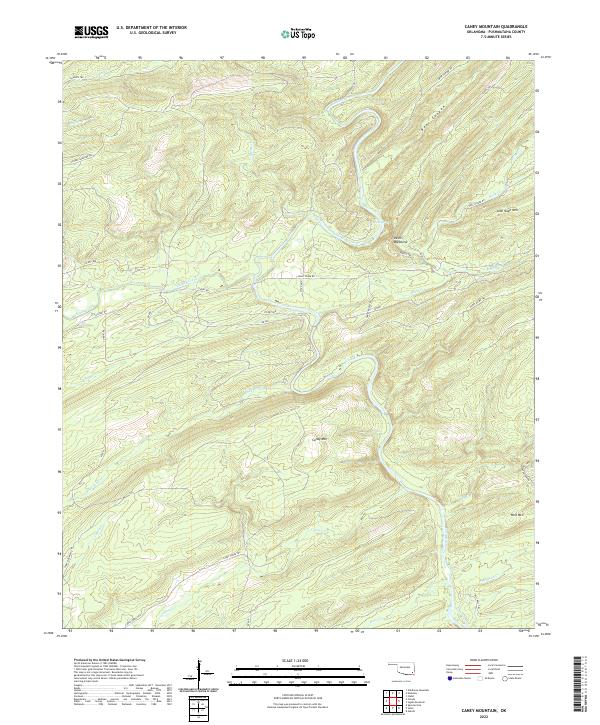
2022 Caney Mountain
Pushmataha County, OK
2022 Clebit
Pushmataha County, OK
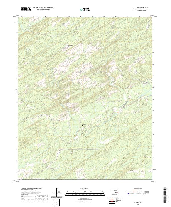
2022 Cloudy
Pushmataha County, OK
2022 Dunbar
Pushmataha County, OK
2022 Jumbo
Pushmataha County, OK
2022 Kiamichi
Pushmataha County, OK
2022 Kosoma
Pushmataha County, OK
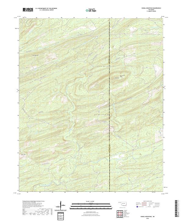
2022 Signal Mountain
Pushmataha County, OK
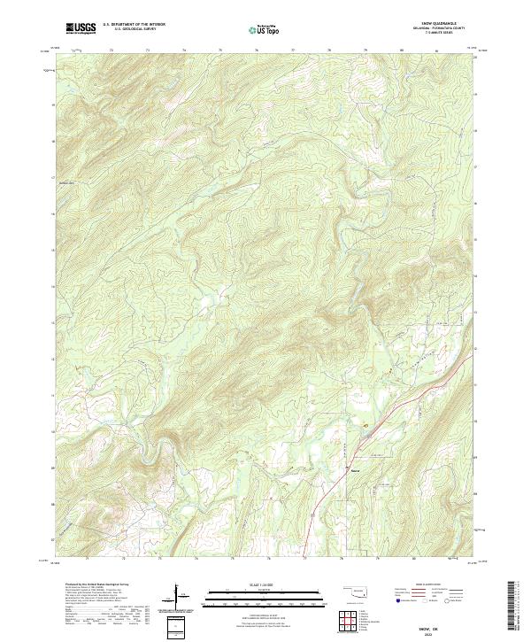
2022 Snow
Pushmataha County, OK
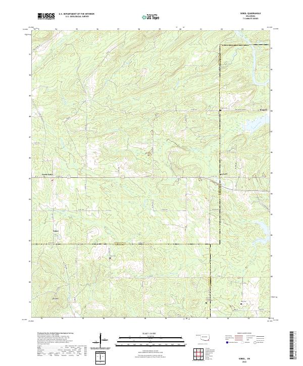
2022 Sobol
Pushmataha County, OK
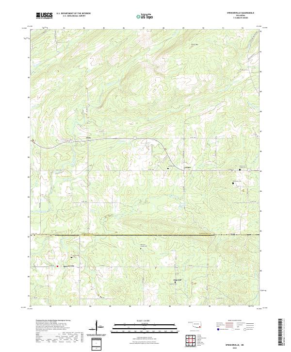
2022 Spencerville
Pushmataha County, OK
2022 Stanley
Pushmataha County, OK
2022 Wildhorse Mountain
Pushmataha County, OK