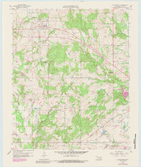
1957 Map of Centrahoma
USGS Topo · Published 1984About this map
Centrahoma serves as the primary hub of this Coal County landscape, where the headwaters of Peach Creek and Owl Creek transition into the broader drainage of Clear Boggy Creek. This survey, updated with revisions from the late 1970s, captures a rural Oklahoma community defined by its resource extraction and educational landmarks. In the eastern portion of the quadrangle, evidence of the local mining history is clear at the Keystone Mine, Hazelton Mine, and Phillips Mine, while an extensive Oil and Gas Field surrounds the main townsite.
Find a feature on this map
26 named features on this map. Tap any name to fly to it.
Don’t see what you’re looking for? This feature index may not catch every label — zoom into the map to look around manually.
Map Details
Editions of this 1957 Centrahoma Map
3 editions found
Other maps of this area

1896 · Coalgate
USGS Topo · 1:125,000

1899 · Coalgate
USGS Topo · 1:125,000

1899 · Atoka
USGS Topo · 1:125,000

1900 · Atoka
USGS Topo · 1:125,000

1900 · Coalgate
USGS Topo · 1:125,000

1957 · Coalgate
USGS Topo · 1:24,000

1957 · Lehigh
USGS Topo · 1:24,000

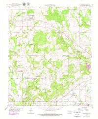
1957 · Centrahoma
USGS Topo · 1:24,000

1957 · Tupelo NE
USGS Topo · 1:24,000

1957 · Ardmore
USGS Topo · 1:250,000