Old Maps of Folsom, Oklahoma
Explore 11 old maps of Folsom, spanning from 1899 to today. These high-resolution historic maps reveal how streets, neighborhoods, landmarks, and natural features evolved over time — perfect for genealogy, metal detecting, research, and local history exploration.
What you can do with these maps:
- See how Folsom changed over time: Compare historical maps to modern-day views to trace roads, homesites, rail lines & more.
- View detailed metadata: Each map includes creators, publishers, year, scale, and archive source.
- Overlay maps with satellite & LiDAR: Visualize the past alongside modern tools to explore terrain & human change.
- Trusted historical sources: Maps sourced from the USGS, Library of Congress, and other archives.
- Access maps your way: View online, download high-res files, or order prints for personal or research use.
Start exploring old maps of Folsom to uncover forgotten places, hidden landmarks, and the deep history beneath your feet.
Folsom, OK maps
(11)- 1899 Map of Atoka
 1899 Atoka1899 Print · USGSIn the final years of the Indian Territory, this map details the complex border between the Chickasaw and Choctaw Nations. Genealogists can trace early homesteads near Old Boggy Depot, the Buffalo Creek Church, and the Chickasaw Rock Academy.
 - 1900 Map of Atoka
 1900 Atoka1900 Print · USGSIndian Territory at the turn of the century shows the developing rail-and-river network before Oklahoma statehood. Genealogists and historians can trace original settlements like Old Boggy Depot, find the Chickasaw Rock Academy, and follow the Missouri Kansas and Texas R.R. through Atoka.4 unique versions available
 - 1957 Map of Ardmore, 1968 Print
 1957 Ardmore1968 Print · USGSSouth-central Oklahoma in the late fifties was a landscape of rising reservoir waters and expanding rail lines. Genealogists and historians can trace the foundations of Ardmore and Duncan or locate early recreation sites at Platt National Park and Lake Murray State Park.3 unique versions available
 - 1963 Map of Ardmore
 1963 Ardmore1963 Print · USGSSouthern Oklahoma during the early sixties shows a landscape defined by the Arbuckle Mountains and a booming energy economy. Genealogists and historians can trace family-named sites across the Ardmore Oil Field, find old schools like Southeastern State College, or locate historic markers such as Boggy Depot State Park.2 unique versions available
 - 1968 Map of Caddo NW, 1971 Print
 1968 Caddo NW1971 Print · USGSSouthern Oklahoma at the end of the 1960s reveals a landscape defined by ranching, river systems, and early territorial lines. Genealogists and local historians can trace family locations through Oak Grove Cem, the settlement of Folsom, and the Old Indian Treaty Boundary.
 - 1985 Map of Tishomingo, 1986 Print
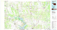 1985 Tishomingo1986 Print · USGSSouthern Oklahoma in the mid-eighties reveals a landscape shaped by significant water projects and conservation lands. Genealogists and historians can trace the footprints of communities like Wapanucka and Bromide alongside the Washita River and Lake Texoma.3 unique versions available
 - 2010 Map of Caddo NW, 2010 Print
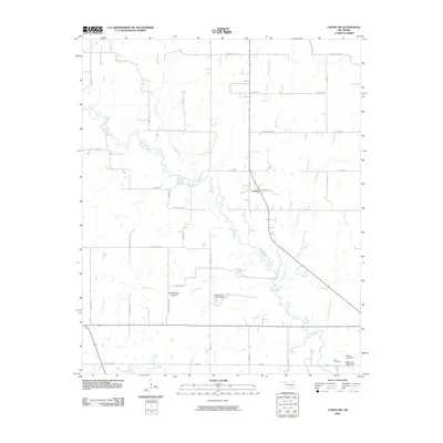 2010 Caddo NW2010 Print · USGSFolsom and the surrounding Twelvemile Prairie are captured in this study of Johnston County during the early twenty-first century. Researchers can locate family landmarks such as the Nail Cemetery and trace the many branches of the Blue River and Horse Creek.
 - 2012 Map of Caddo NW, 2012 Print
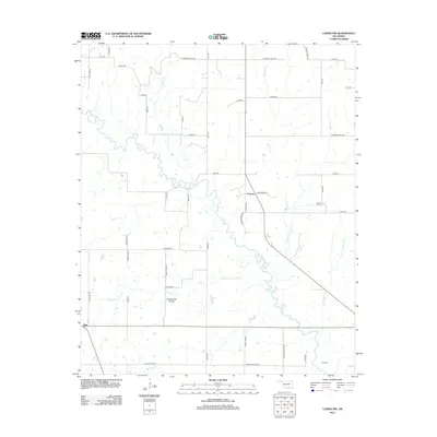 2012 Caddo NW2012 Print · USGSOklahoma's southern plains come into focus in the early 21st century as the Blue River winds through Johnston County. Researchers can trace rural life and family history through landmarks like Folsom, Nida, and the Center Hill Cem.
 - 2016 Map of Caddo NW, 2016 Print
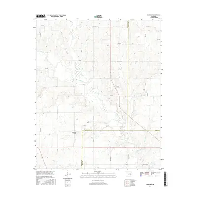 2016 Caddo NW2016 Print · USGSOklahoma's rural borderlands between Johnston, Atoka, and Bryan counties are documented here in the mid-2010s. Genealogists and local historians can trace family roots through the Nail Cem and Oak Grove Cem or locate the settlement of Folsom.
 - 2018 Map of Caddo NW, 2018 Print
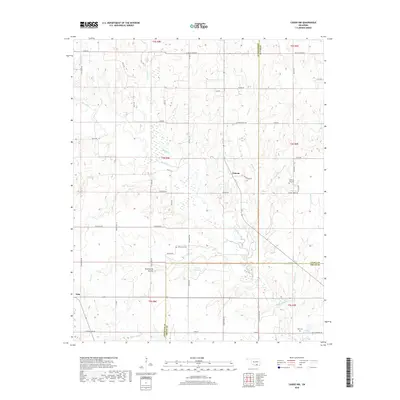 2018 Caddo NW2018 Print · USGSSoutheastern Oklahoma's rural landscapes are shown in high detail at the confluence of Johnston, Atoka, and Bryan counties in the late 2010s. Researchers can locate remote burial grounds like Center Hill Cem and Nail Cem or trace the Blue River across Twelvemile Prairie.
 - 2022 Map of Caddo NW, 2022 Print
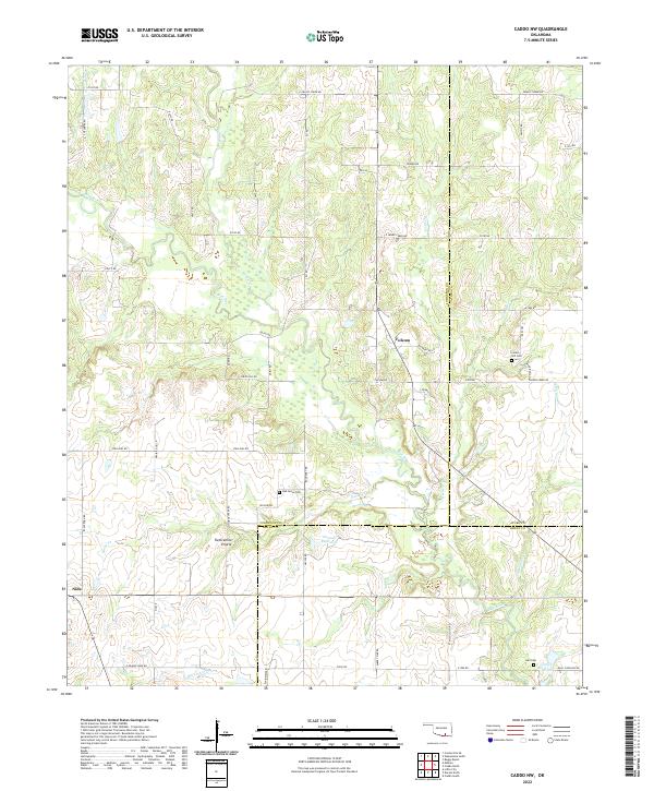 2022 Caddo NW2022 Print · USGSJohnston County at the start of the 2020s remains a landscape of rolling prairies and winding creeks. Local historians can trace family ties at Oak Grove Cem and Center Hill Cem, or explore the reaches of Twelvemile Prairie.
End of results
Showing maps 1-11 of 11
Top cities near Folsom
- Durant historical maps
- Caddo historical maps
- Wapanucka historical maps
- Milburn historical maps
- Silo historical maps
- Mead historical maps
See more
Frequently asked questions
- What are the different types of historical maps available for Folsom?
- What is the oldest map of Folsom?
- Where can I purchase historical maps of Folsom for my home or office?
- Where can I download high-res historical maps of Folsom?
- Are there historical topographic maps available for Folsom?
- Is there historical aerial imagery available for Folsom?
- Where are historical maps of Folsom sourced from?