Old Maps of Kaw City, Oklahoma for Academic Research
Study the evolution of Kaw City with 16 high-resolution historic maps. Whether you're teaching, researching, or modeling changes in land use, these maps provide essential visual documentation of urban, environmental, and geographic change.
- Analyze long-term change: Track patterns in development, transportation, and natural features.
- Ideal for environmental or urban studies: Support academic projects with primary historical map data.
- Use in the classroom or lab: Educators and researchers rely on these maps to bring historical context to life.
These maps are a powerful tool for teaching, research, and visualizing how Kaw City has changed over the decades.
Kaw City, OK maps
(16)- 1935 Map of Kaw
 1935 Kaw1935 Print · USGSNorthern Oklahoma's river valleys and rural school districts are captured here in the mid-1930s as the Santa Fe railroad shaped the local economy. Researchers can trace vanished rural hubs and landmarks like Chilocco, Maple Grove Ch, and Uncas.2 unique versions available
 - 1955 Map of Enid, 1966 Print
 1955 Enid1966 Print · USGSNorth-central Oklahoma's transition from open plains to the blackjack hills of the Osage Indian Reservation is captured in the mid-1950s. Researchers can trace the development of the Naval Reserve Oil Field, the grounds of Vance AFB, and the early footprints of Tulsa and Stillwater.4 unique versions available
 - 1958 Map of Enid
 1958 Enid1958 Print · USGSNorthern Oklahoma is mapped here in the late fifties, showcasing a dense network of petroleum production and historic tribal lands. Researchers can trace the legacy of the Osage Indian Reservation, early energy hubs like the Cushing Oil Field, and the Chilocco Indian Agricultural School.2 unique versions available
 - 1963 Map of Uncas, 1965 Print
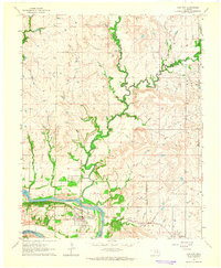
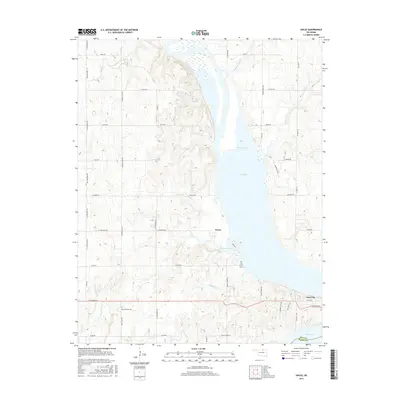
 1963 Uncas1965 Print · USGSThe Arkansas River valley in Kay County shows a landscape of rail-served settlements and early energy production in the early sixties. Trace the path of the Atchison Topeka and Santa Fe through Uncas and locate historical Oil Wells and the Oak Grove Cem.2 unique versions available
 - 1964 Map of Kaw City, 1965 Print
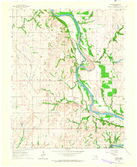
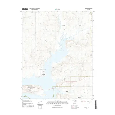
 1964 Kaw City1965 Print · USGSKaw City and the Arkansas River valley are shown here in the mid-sixties, just before the landscape was transformed by reservoir construction. Genealogists and local historians can trace the original townsite of Kaw City, the community of Washunga, and the Washunga Cem before their relocation.4 unique versions available
 - 1985 Map of Pawhuska, 1986 Print
 1985 Pawhuska1986 Print · USGSThe Osage Indian Reservation and its tribal capital at Pawhuska are seen here in the mid-1980s as the region's ranching and oil legacies matured. Genealogists and historians can trace family-named sites and vanished industrial tracks near Bigheart, Wynona, and Gray Horse.2 unique versions available
 - 2009 Map of Kaw City, 2009 Print
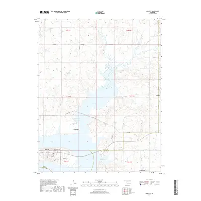
 2009 Kaw City2009 Print · USGSCovers Kaw City, including Washunga, Apperson, and other nearby areas
 - 2010 Map of Uncas, 2010 Print
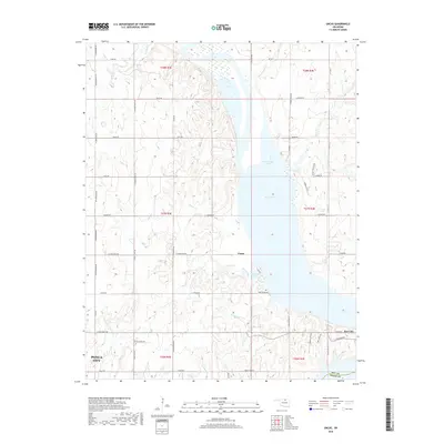
 2010 Uncas2010 Print · USGSCovers Kaw City, including Ponca City, Uncas, and other nearby areas
 - 2012 Map of Kaw City, 2012 Print
 2012 Kaw City2012 Print · USGSCovers Kaw City, including Washunga, Apperson, and other nearby areas
 - 2012 Map of Uncas, 2012 Print
 2012 Uncas2012 Print · USGSCovers Kaw City, including Ponca City, Uncas, and other nearby areas
 - 2016 Map of Kaw City, 2016 Print
 2016 Kaw City2016 Print · USGSCovers Kaw City, including Washunga, Apperson, and other nearby areas
 - 2016 Map of Uncas, 2016 Print
 2016 Uncas2016 Print · USGSCovers Kaw City, including Ponca City, Uncas, and other nearby areas
 - 2018 Map of Kaw City, 2018 Print
 2018 Kaw City2018 Print · USGSCovers Kaw City, including Washunga, Apperson, and other nearby areas
 - 2018 Map of Uncas, 2018 Print
 2018 Uncas2018 Print · USGSCovers Kaw City, including Ponca City, Uncas, and other nearby areas
 - 2022 Map of Uncas, 2022 Print
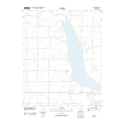
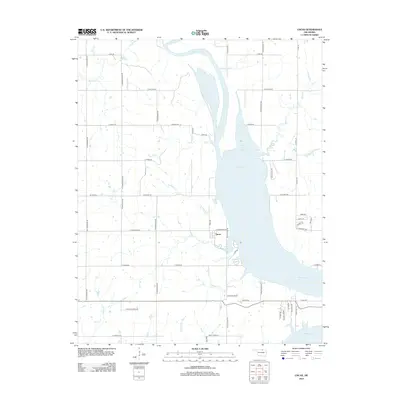
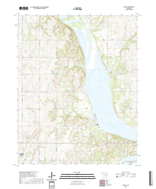 2022 Uncas2022 Print · USGSThe Arkansas River valley in Kay County underwent a total transformation as the waters of Kaw Lake reshaped the landscape. Researchers can trace the shoreline of Coon Creek Cove to find Uncas, the Oak Grove Cemetery, and the vicinity of Kaw City.
 - 2022 Map of Kaw City, 2022 Print
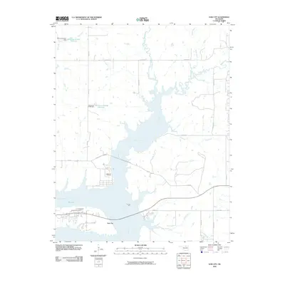
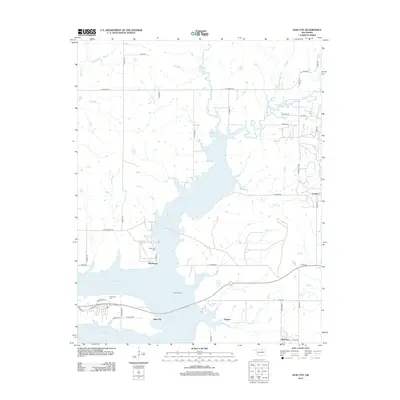
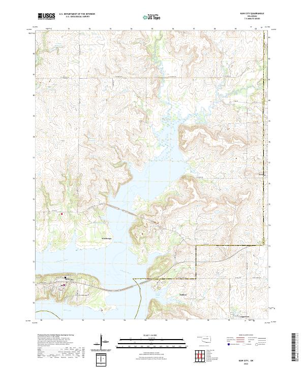 2022 Kaw City2022 Print · USGSThe shorelines of Kaw Lake and the Arkansas River define the Kay County landscape in this 2022 survey. Researchers can trace local history through the proximity of Washunga, the site of Grandview Cem, and the rural community of Apperson near the Osage County line.
End of results
Showing maps 1-16 of 16
Top cities near Kaw City
- Ponca City historical maps
- Newkirk historical maps
- Fairfax historical maps
- Shidler historical maps
- Burbank historical maps
- Webb City historical maps
See more
Frequently asked questions
- What are the different types of historical maps available for Kaw City?
- What is the oldest map of Kaw City?
- Where can I purchase historical maps of Kaw City for my home or office?
- Where can I download high-res historical maps of Kaw City?
- Are there historical topographic maps available for Kaw City?
- Is there historical aerial imagery available for Kaw City?
- Where are historical maps of Kaw City sourced from?