Old Maps of Babbs, Oklahoma for Academic Research
Study the evolution of Babbs with 8 high-resolution historic maps. Whether you're teaching, researching, or modeling changes in land use, these maps provide essential visual documentation of urban, environmental, and geographic change.
- Analyze long-term change: Track patterns in development, transportation, and natural features.
- Ideal for environmental or urban studies: Support academic projects with primary historical map data.
- Use in the classroom or lab: Educators and researchers rely on these maps to bring historical context to life.
These maps are a powerful tool for teaching, research, and visualizing how Babbs has changed over the decades.
Babbs, OK maps
(8)- 1955 Map of Lawton, 1958 Print
 1955 Lawton1958 Print · USGSSouthwestern Oklahoma and North Texas are shown here in the mid-fifties, dominated by the Wichita Mountains and the vital Red River watershed. Genealogists and historians can trace the foundations of Lawton alongside rural landmarks like Rainy Mountain Church and Pleasant Hill School.5 unique versions available
 - 1963 Map of Babbs, 1965 Print
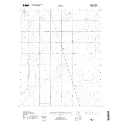
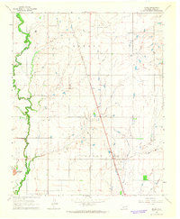 1963 Babbs1965 Print · USGSKiowa County in the early sixties is captured here as a landscape of prairie creeks and early petroleum extraction. Researchers can trace the St Louis-San Francisco line through Babbs or locate landmarks like Camelback Mountain.2 unique versions available
 - 1985 Map of Altus
 1985 Altus1985 Print · USGSSouthwestern Oklahoma in the mid-eighties shows a vast agricultural and military landscape shaped by the Red River forks. Trace the intersections of the Atchison Topeka and Santa Fe railroad with rural points like Fairmount Cem and Duke.2 unique versions available
 - 2010 Map of Babbs, 2010 Print
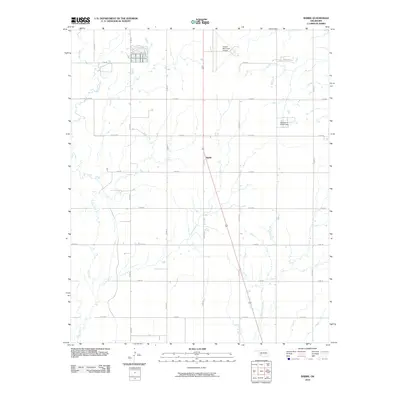 2010 Babbs2010 Print · USGSCovers Babbs, including Kiowa County, United States, and other nearby areas
 - 2012 Map of Babbs, 2012 Print
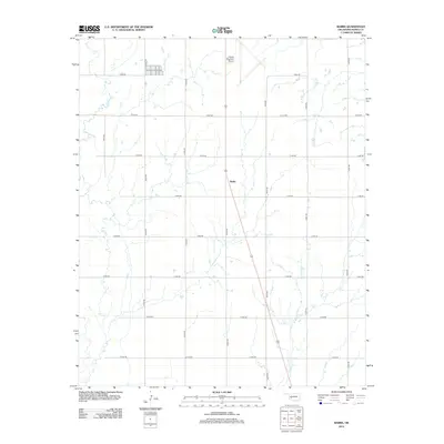 2012 Babbs2012 Print · USGSCovers Babbs, including Kiowa County, United States, and other nearby areas
 - 2016 Map of Babbs, 2016 Print
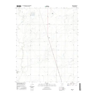 2016 Babbs2016 Print · USGSCovers Babbs, including Kiowa County, United States, and other nearby areas
 - 2018 Map of Babbs, 2018 Print
 2018 Babbs2018 Print · USGSCovers Babbs, including Kiowa County, United States, and other nearby areas
 - 2022 Map of Babbs, 2022 Print
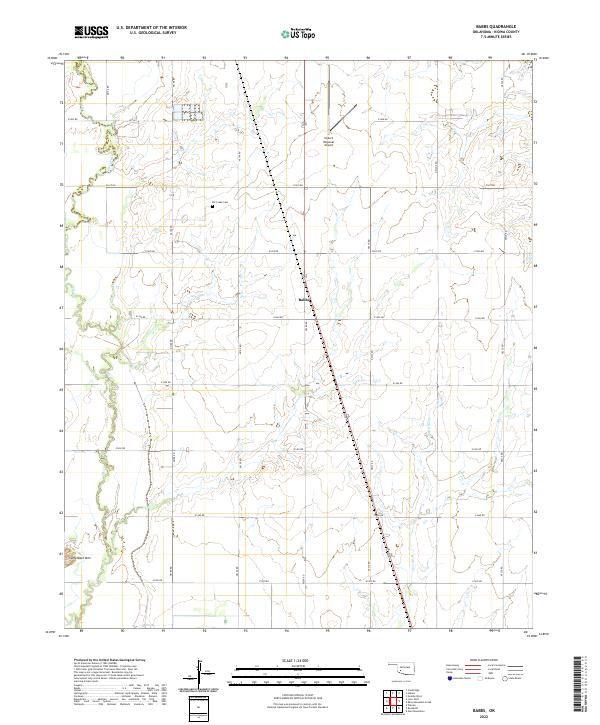 2022 Babbs2022 Print · USGSIn southwestern Oklahoma, this 2022 survey captures the rural layout of Kiowa County near the Babbs community. Genealogists and local historians can trace the landscape surrounding Elk Creek Cem, the Hobart Regional Airport, and the prominent Camelback Mtn.
End of results
Showing maps 1-8 of 8
Top cities near Babbs
- Hobart historical maps
- Sentinel historical maps
- Lone Wolf historical maps
- Roosevelt historical maps
- Gotebo historical maps
- Rocky historical maps
See more
Frequently asked questions
- What are the different types of historical maps available for Babbs?
- What is the oldest map of Babbs?
- Where can I purchase historical maps of Babbs for my home or office?
- Where can I download high-res historical maps of Babbs?
- Are there historical topographic maps available for Babbs?
- Is there historical aerial imagery available for Babbs?
- Where are historical maps of Babbs sourced from?