Old Maps of Hobart, Oklahoma for Hiking & Exploration
Hike through history with 10 historic maps of Hobart. Explore old trails, ghost towns, and forgotten backroads — perfect for outdoor adventurers and local explorers.
- Rediscover forgotten places: Map out old mining camps, roads, and footpaths that no longer exist on modern maps.
- Layer with modern tools: Combine with LiDAR or satellite views to plan hikes through historical terrain.
- Made for exploration: Popular among hikers, overlanders, and local history lovers.
Use these maps to find adventure and explore the hidden past of Hobart.
Hobart, OK maps
(10)- 1955 Map of Clinton, 1964 Print
 1955 Clinton1964 Print · USGSWestern Oklahoma during the mid-century transition shows a landscape of growing reservoirs and active military flight lines. Genealogists and historians can locate rural landmarks such as Mountain View Church, Berlin School, and the Riverside Indian School Reserve.3 unique versions available
 - 1957 Map of Clinton
 1957 Clinton1957 Print · USGSWestern Oklahoma in the mid-fifties is captured here as a landscape of river-valley settlements and emerging energy fields. Genealogists can trace family roots through numerous rural landmarks like the Swapping Back Indian School, Hebron Church, and the Riverside Indian School Reserve.
 - 1961 Map of Hobart, 1962 Print
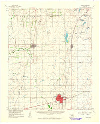 1961 Hobart1962 Print · USGSKiowa and Washita counties are shown here in the early 1960s as a bustling junction of major rail lines and rural agricultural life. Researchers can trace family history through sites like Huckaby Cem, Sentinel High Sch, and the Oil Field.2 unique versions available
 - 1984 Map of Hobart, 1985 Print
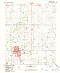 1984 Hobart1985 Print · USGSOklahoma's Kiowa County plains come alive in the mid-eighties as a hub of ranching, oil, and education. Researchers can trace local heritage through Rose Cem, the Rainey Mountain Indian Treaty Boundary, and the site of the Willard Sch.
 - 1985 Map of Elk City
 1985 Elk City1985 Print · USGSWestern Oklahoma in the 1980s is defined by its railroad junctions, emerging aviation hubs, and the winding North Fork Red River. Genealogists and local historians can trace the foundations of Sayre and Elk City, alongside landmarks like Clinton-Sherman Airport and Quartz Mountain State Park.2 unique versions available
 - 2010 Map of Hobart, 2010 Print
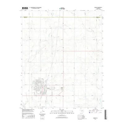
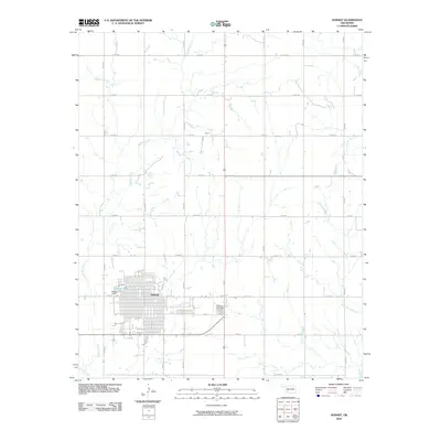 2010 Hobart2010 Print · USGSCovers Hobart, including Kiowa County, Washita County, and other nearby areas
 - 2012 Map of Hobart, 2012 Print
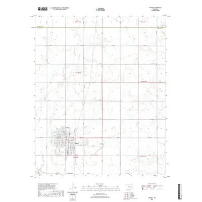
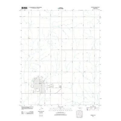 2012 Hobart2012 Print · USGSCovers Hobart, including Kiowa County, Washita County, and other nearby areas
 - 2016 Map of Hobart, 2016 Print
 2016 Hobart2016 Print · USGSCovers Hobart, including Kiowa County, Washita County, and other nearby areas
 - 2018 Map of Hobart, 2018 Print
 2018 Hobart2018 Print · USGSCovers Hobart, including Kiowa County, Washita County, and other nearby areas
 - 2022 Map of Hobart, 2022 Print
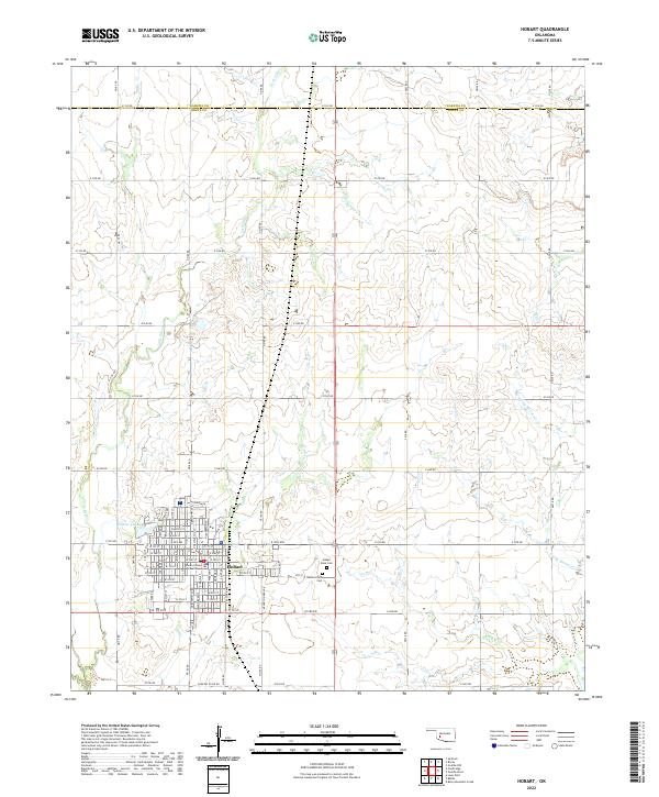 2022 Hobart2022 Print · USGSOklahoma's Kiowa County prairie is documented here in the early twenty-first century, centered on the historic county seat of Hobart. Genealogists and researchers can pinpoint the Kiowa County Courthouse, Hobart Rose Cem, and family locations along the extensive section-line road network.
End of results
Showing maps 1-10 of 10
Top cities near Hobart
- Sentinel historical maps
- Lone Wolf historical maps
- Roosevelt historical maps
- Gotebo historical maps
- Rocky historical maps
- Cooperton historical maps
Frequently asked questions
- What are the different types of historical maps available for Hobart?
- What is the oldest map of Hobart?
- Where can I purchase historical maps of Hobart for my home or office?
- Where can I download high-res historical maps of Hobart?
- Are there historical topographic maps available for Hobart?
- Is there historical aerial imagery available for Hobart?
- Where are historical maps of Hobart sourced from?