2000s (21st Century) Maps of Spiro, Oklahoma
Explore 15 historic maps of Spiro from the 2000s (21st Century). These maps offer a rare glimpse into what life looked like during the 2000s — showing old roads, neighborhoods, homes, and landmarks that have changed or disappeared over time.
Whether you're researching your family's past, planning a metal detecting trip, or studying how Spiro's landscape evolved across the 2000s, these high-resolution maps are a powerful tool for exploring the history of this region.
- Focus on a specific era: All maps on this page are from the 2000s, giving you a focused view of this time period.
- See what’s changed: Compare century-old streets, trails, and buildings to today's modern landscape using overlays and satellite layers.
- Research with precision: Use these maps for genealogy, historical research, land use analysis, or educational projects.
- View, download, or print: Maps are fully viewable online in high resolution, and can be downloaded or printed for your own records.
Start exploring Spiro's history through authentic maps from the 2000s. This is your window into the past.
Spiro, OK maps
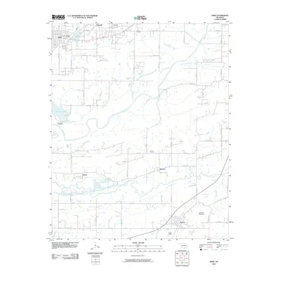
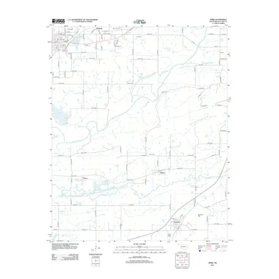
(15)- 2010 Map of Panama, 2010 Print
 2010 Panama2010 Print · USGSCovers Spiro, including Poteau, Panama, and other nearby areas
 - 2010 Map of Fort Coffee, 2010 Print
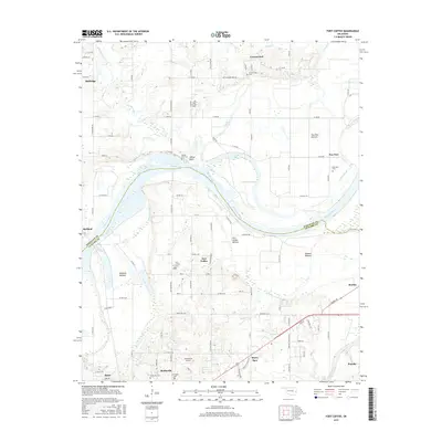
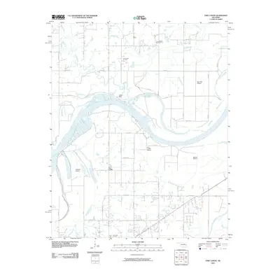 2010 Fort Coffee2010 Print · USGSCovers Spiro, including Pocola, Fort Coffee, and other nearby areas
 - 2010 Map of Spiro, 2010 Print
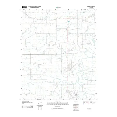
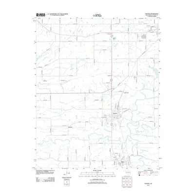
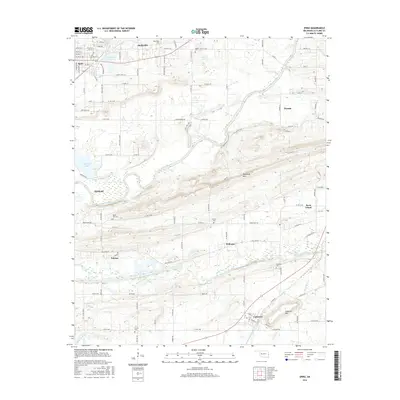
 2010 Spiro2010 Print · USGSCovers Spiro, including Poteau, Pocola, and other nearby areas
 - 2012 Map of Fort Coffee, 2012 Print
 2012 Fort Coffee2012 Print · USGSCovers Spiro, including Pocola, Fort Coffee, and other nearby areas
 - 2012 Map of Panama, 2012 Print
 2012 Panama2012 Print · USGSCovers Spiro, including Poteau, Panama, and other nearby areas
 - 2012 Map of Spiro, 2012 Print
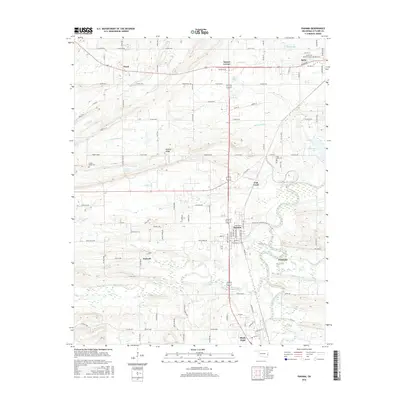
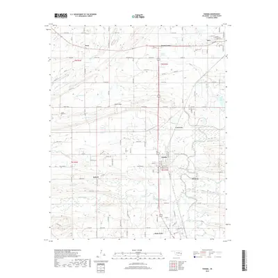
 2012 Spiro2012 Print · USGSCovers Spiro, including Poteau, Pocola, and other nearby areas
 - 2016 Map of Panama, 2016 Print
 2016 Panama2016 Print · USGSCovers Spiro, including Poteau, Panama, and other nearby areas
 - 2016 Map of Fort Coffee, 2016 Print
 2016 Fort Coffee2016 Print · USGSCovers Spiro, including Pocola, Fort Coffee, and other nearby areas
 - 2016 Map of Spiro, 2016 Print
 2016 Spiro2016 Print · USGSCovers Spiro, including Poteau, Pocola, and other nearby areas
 - 2018 Map of Fort Coffee, 2018 Print
 2018 Fort Coffee2018 Print · USGSCovers Spiro, including Pocola, Fort Coffee, and other nearby areas
 - 2018 Map of Spiro, 2018 Print
 2018 Spiro2018 Print · USGSCovers Spiro, including Poteau, Pocola, and other nearby areas
 - 2018 Map of Panama, 2018 Print
 2018 Panama2018 Print · USGSCovers Spiro, including Poteau, Panama, and other nearby areas
 - 2022 Map of Spiro, 2022 Print
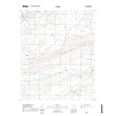
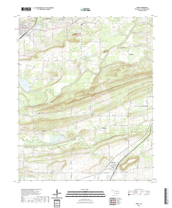 2022 Spiro2022 Print · USGSLe Flore County at the start of the 2020s shows a landscape of river-bottom lowlands and high ridges. Genealogists can locate family landmarks like Wards Cem and French Cem or trace the early settlement at Skullyville and Tahona.
 - 2022 Map of Panama, 2022 Print
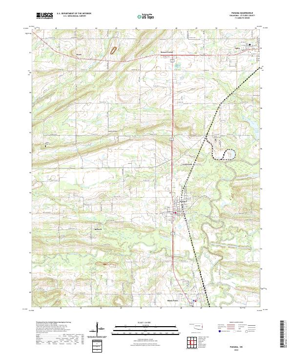 2022 Panama2022 Print · USGSLe Flore County's river-bottom land and mining towns are captured here in the early twenty-first century as the landscape remains defined by its small-town hubs. Genealogists can locate family sites at Fairview Cem and Nubbin Ridge Cem or trace the rural routes connecting Ward and Shady Point.
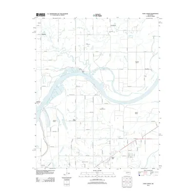
 - 2022 Map of Fort Coffee, 2022 Print
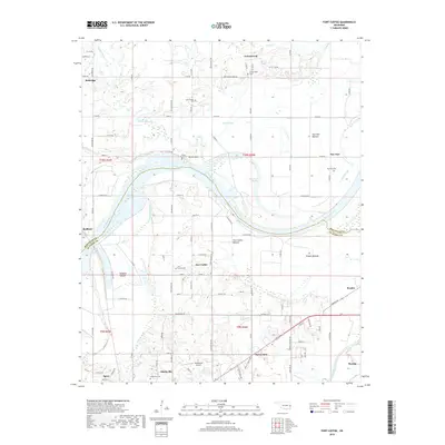
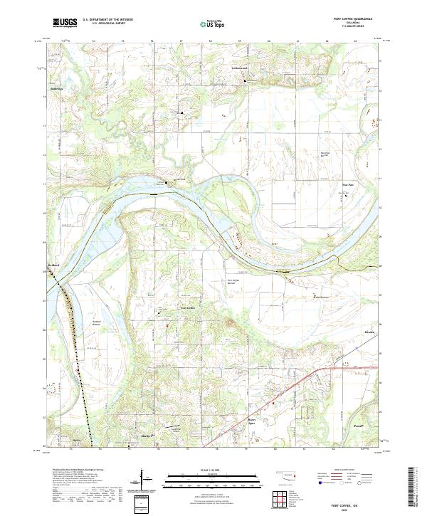 2022 Fort Coffee2022 Print · USGSThe Arkansas River valley near the Oklahoma-Arkansas border reveals a landscape defined by its river bottoms and Choctaw history. Genealogists can trace family names through Skullyville Cem, Lees Chapel Cem, and the riverfront settlement at Wilson Rock.
End of results
Showing maps 1-15 of 15
Top cities near Spiro
- Fort Smith historical maps
- Van Buren historical maps
- Poteau historical maps
- Sallisaw historical maps
- Pocola historical maps
- Muldrow historical maps
See more
Frequently asked questions
- What are the different types of historical maps available for Spiro?
- What is the oldest map of Spiro?
- Where can I purchase historical maps of Spiro for my home or office?
- Where can I download high-res historical maps of Spiro?
- Are there historical topographic maps available for Spiro?
- Is there historical aerial imagery available for Spiro?
- Where are historical maps of Spiro sourced from?