2000s (21st Century) Maps of Chandler, Oklahoma
Explore 15 historic maps of Chandler from the 2000s (21st Century). These maps offer a rare glimpse into what life looked like during the 2000s — showing old roads, neighborhoods, homes, and landmarks that have changed or disappeared over time.
Whether you're researching your family's past, planning a metal detecting trip, or studying how Chandler's landscape evolved across the 2000s, these high-resolution maps are a powerful tool for exploring the history of this region.
- Focus on a specific era: All maps on this page are from the 2000s, giving you a focused view of this time period.
- See what’s changed: Compare century-old streets, trails, and buildings to today's modern landscape using overlays and satellite layers.
- Research with precision: Use these maps for genealogy, historical research, land use analysis, or educational projects.
- View, download, or print: Maps are fully viewable online in high resolution, and can be downloaded or printed for your own records.
Start exploring Chandler's history through authentic maps from the 2000s. This is your window into the past.
Chandler, OK maps
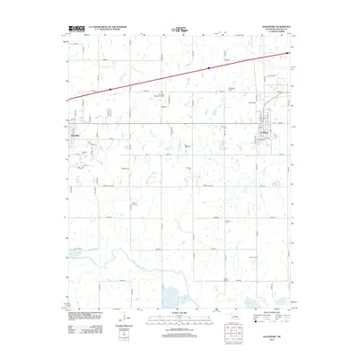
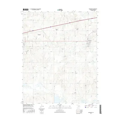
(15)- 2009 Map of Davenport, 2009 Print
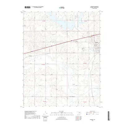
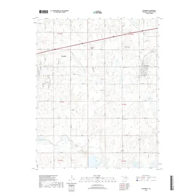
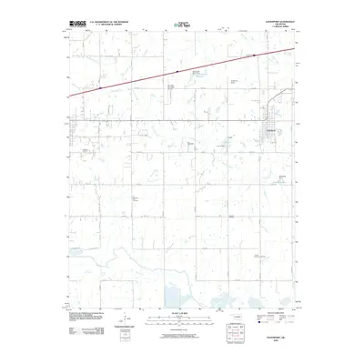 2009 Davenport2009 Print · USGSCovers Chandler, including Davenport, Lincoln County, and other nearby areas
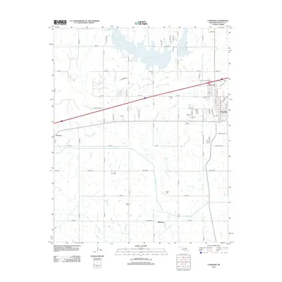
 - 2010 Map of Chandler, 2010 Print
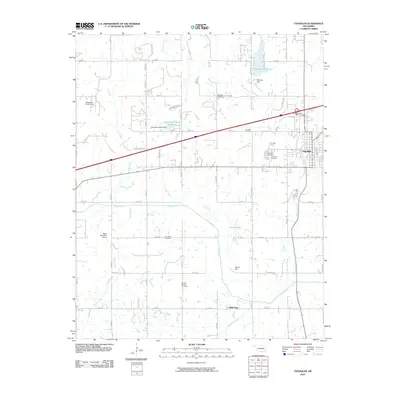 2010 Chandler2010 Print · USGSCovers Chandler, including Warwick, Midlothian, and other nearby areas
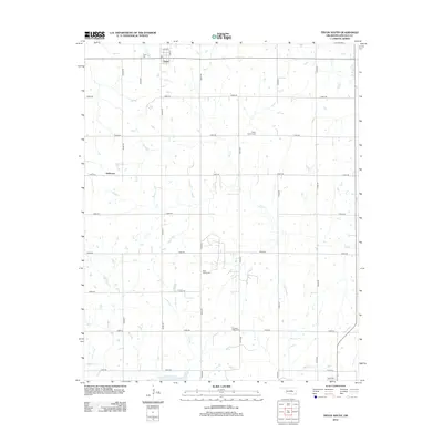
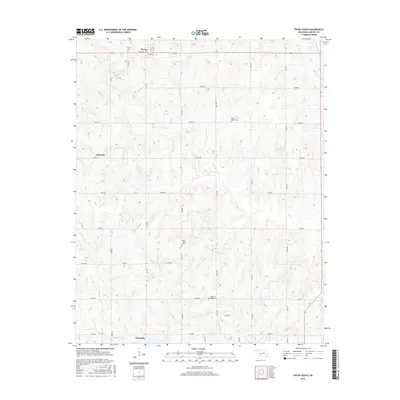
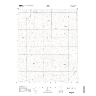
 - 2010 Map of Tryon South, 2010 Print
 2010 Tryon South2010 Print · USGSCovers Chandler, including Carney, Tryon, and other nearby areas
 - 2012 Map of Davenport, 2012 Print
 2012 Davenport2012 Print · USGSCovers Chandler, including Davenport, Lincoln County, and other nearby areas
 - 2012 Map of Tryon South, 2012 Print
 2012 Tryon South2012 Print · USGSCovers Chandler, including Carney, Tryon, and other nearby areas
 - 2012 Map of Chandler, 2012 Print
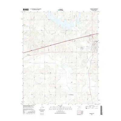
 2012 Chandler2012 Print · USGSCovers Chandler, including Warwick, Midlothian, and other nearby areas
 - 2016 Map of Davenport, 2016 Print
 2016 Davenport2016 Print · USGSCovers Chandler, including Davenport, Lincoln County, and other nearby areas
 - 2016 Map of Chandler, 2016 Print
 2016 Chandler2016 Print · USGSCovers Chandler, including Warwick, Midlothian, and other nearby areas
 - 2016 Map of Tryon South, 2016 Print
 2016 Tryon South2016 Print · USGSCovers Chandler, including Carney, Tryon, and other nearby areas
 - 2018 Map of Chandler, 2018 Print
 2018 Chandler2018 Print · USGSCovers Chandler, including Warwick, Midlothian, and other nearby areas
 - 2018 Map of Tryon South, 2018 Print
 2018 Tryon South2018 Print · USGSCovers Chandler, including Carney, Tryon, and other nearby areas
 - 2018 Map of Davenport, 2018 Print
 2018 Davenport2018 Print · USGSCovers Chandler, including Davenport, Lincoln County, and other nearby areas
 - 2022 Map of Davenport, 2022 Print
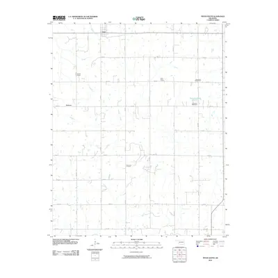
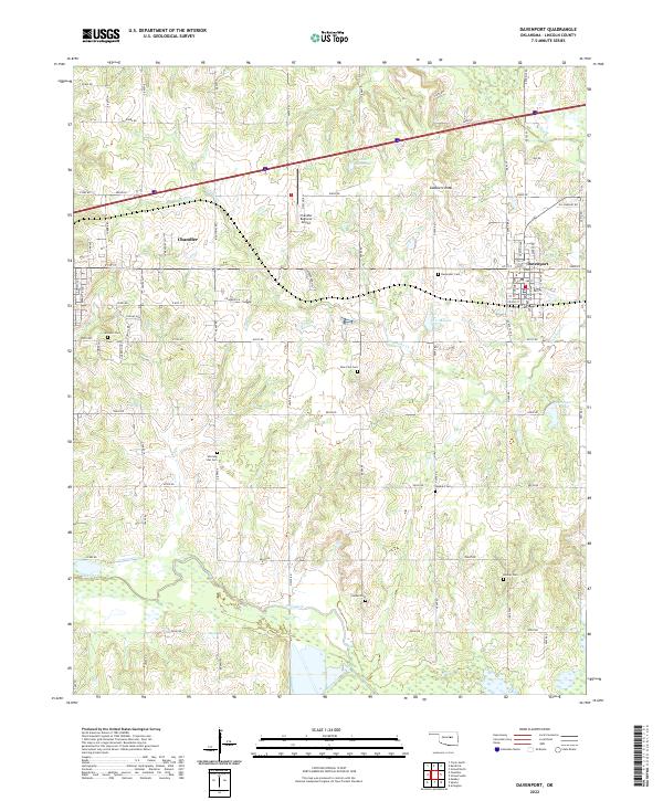 2022 Davenport2022 Print · USGSThe Lincoln County landscape near Davenport and Chandler comes alive on this modern survey. Genealogists can trace a wealth of local burial sites, from Davenport Cem and Glover Cem to the high ground of Gobblers Knob.
 - 2022 Map of Tryon South, 2022 Print
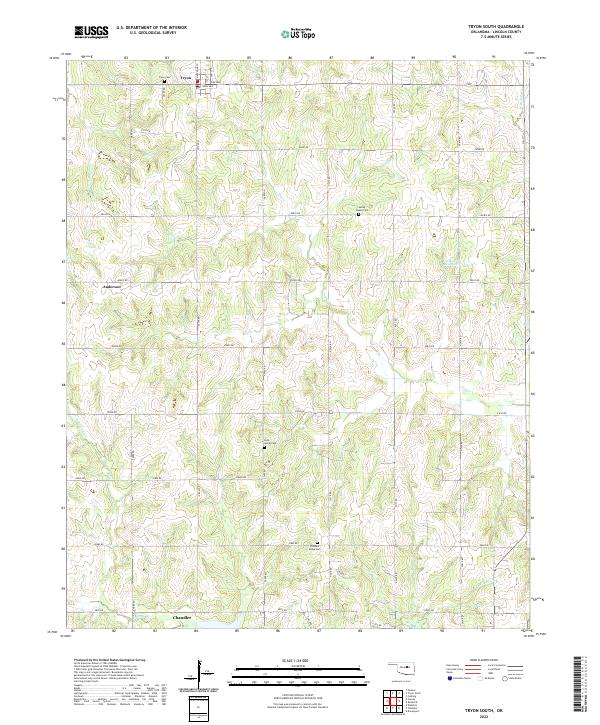 2022 Tryon South2022 Print · USGSThe area around Tryon and Anderson shows a landscape of rural family farms and community hubs during the early twenty-first century. Researchers can trace local lineage at Tryon Cem, Rock Spring Cem, and Valley Queen Cem.
 - 2022 Map of Chandler, 2022 Print
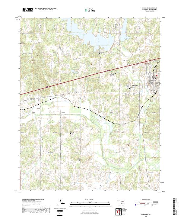 2022 Chandler2022 Print · USGSThe Lincoln County seat and surrounding rural townships come into focus in this recent survey. Genealogists can trace family heritage across numerous burial grounds such as Oak Park Cem, Star Valley Cem, and McCorkle Cem.
End of results
Showing maps 1-15 of 15
Top cities near Chandler
- Oklahoma City historical maps
- Cushing historical maps
- Prague historical maps
- Meeker historical maps
- Davenport historical maps
- Wellston historical maps
See more
Frequently asked questions
- What are the different types of historical maps available for Chandler?
- What is the oldest map of Chandler?
- Where can I purchase historical maps of Chandler for my home or office?
- Where can I download high-res historical maps of Chandler?
- Are there historical topographic maps available for Chandler?
- Is there historical aerial imagery available for Chandler?
- Where are historical maps of Chandler sourced from?