Old Maps of Jacktown, Oklahoma for Academic Research
Study the evolution of Jacktown with 11 high-resolution historic maps. Whether you're teaching, researching, or modeling changes in land use, these maps provide essential visual documentation of urban, environmental, and geographic change.
- Analyze long-term change: Track patterns in development, transportation, and natural features.
- Ideal for environmental or urban studies: Support academic projects with primary historical map data.
- Use in the classroom or lab: Educators and researchers rely on these maps to bring historical context to life.
These maps are a powerful tool for teaching, research, and visualizing how Jacktown has changed over the decades.
Jacktown, OK maps
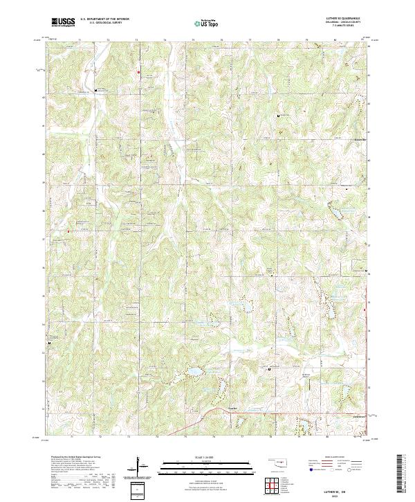
(11)- 1909 Map of Luther
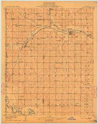 1909 Luther1909 Print · USGSDuring the final years of the Oklahoma Territory, this area saw rapid growth as railroads connected towns like Luther and Wellston. Genealogists and historians can locate dozens of early community sites, from the German Church to rural schoolhouses like Peach Grove School and Arbuckle School.2 unique versions available
 - 1954 Map of Oklahoma City
 1954 Oklahoma City1954 Print · USGSOklahoma City and its surrounding counties are captured here in the early fifties during a period of significant postwar growth. Researchers can trace the development of the Turner Turnpike and locate aviation hubs like Tinker Field or Will Rogers Field.
 - 1957 Map of Oklahoma City, 1969 Print
 1957 Oklahoma City1969 Print · USGSCentral Oklahoma is captured here in a period of significant mid-century growth and industrialization. Researchers can trace family roots through numerous rural markers like Memory Lane Cem, New Hope School, and the sprawling grounds of Tinker Air Force Base.3 unique versions available
 - 1963 Map of Oklahoma City
 1963 Oklahoma City1963 Print · USGSCentral Oklahoma in the early sixties showcases a landscape of rapid suburban growth and established oil production. Researchers can trace historic rail lines like the Chicago Rock Island and Pacific RR or locate rural landmarks such as Mayflower School and Bethel Church.
 - 1966 Map of Luther SE, 1967 Print
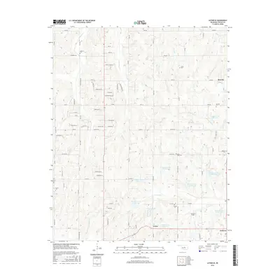
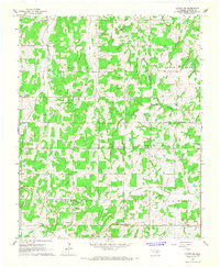 1966 Luther SE1967 Print · USGSLincoln County rural life in the mid-sixties is captured here through its network of small country churches and schoolhouses. Genealogists and researchers can trace family landmarks like Lutheran Cem, White Rock School, and the Wilson Chapel.2 unique versions available
 - 1990 Map of Oklahoma City North
 1990 Oklahoma City North1990 Print · USGSOklahoma City and its northern reaches are captured in the 1990s as suburban growth stretched toward the Cimarron River. Genealogists and historians can trace rail-town legacies along the Atchison Topeka and Santa Fe Railroad and find landmarks like the El Reno Federal Reformatory.
 - 2009 Map of Luther SE, 2009 Print
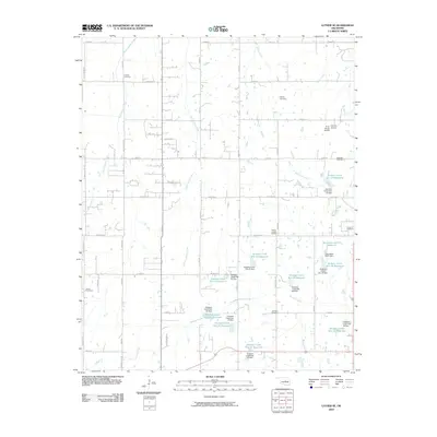 2009 Luther SE2009 Print · USGSCovers Jacktown, including Fowler, Lincoln County, and other nearby areas
 - 2012 Map of Luther SE, 2012 Print
 2012 Luther SE2012 Print · USGSCovers Jacktown, including Fowler, Lincoln County, and other nearby areas
 - 2016 Map of Luther SE, 2016 Print
 2016 Luther SE2016 Print · USGSCovers Jacktown, including Fowler, Lincoln County, and other nearby areas
 - 2018 Map of Luther SE, 2018 Print
 2018 Luther SE2018 Print · USGSCovers Jacktown, including Fowler, Lincoln County, and other nearby areas
 - 2022 Map of Luther SE, 2022 Print
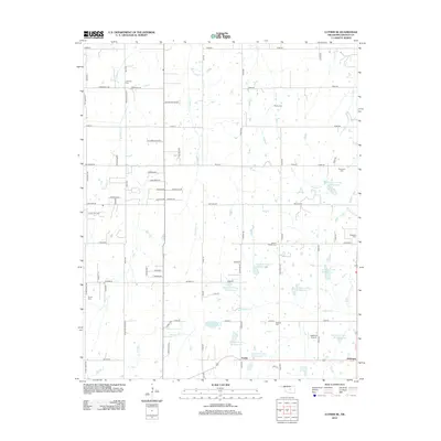
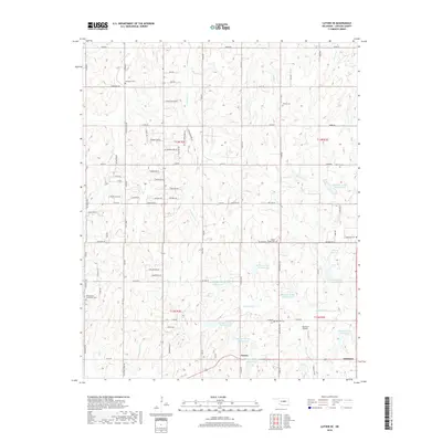
 2022 Luther SE2022 Print · USGSLincoln County comes into focus in this recent survey of the rural landscape between Luther and Chandler. Genealogists can locate several local burial sites including Rossville Cem, Anderson Cem, and Jamison Cem near the historic crossroads of Jacktown.
End of results
Showing maps 1-11 of 11
Top cities near Jacktown
- Oklahoma City historical maps
- Norman historical maps
- Shawnee historical maps
- Choctaw historical maps
- Newalla historical maps
- Tecumseh historical maps
See more
Frequently asked questions
- What are the different types of historical maps available for Jacktown?
- What is the oldest map of Jacktown?
- Where can I purchase historical maps of Jacktown for my home or office?
- Where can I download high-res historical maps of Jacktown?
- Are there historical topographic maps available for Jacktown?
- Is there historical aerial imagery available for Jacktown?
- Where are historical maps of Jacktown sourced from?