Old Maps of Enville, Oklahoma for Hiking & Exploration
Hike through history with 12 historic maps of Enville. Explore old trails, ghost towns, and forgotten backroads — perfect for outdoor adventurers and local explorers.
- Rediscover forgotten places: Map out old mining camps, roads, and footpaths that no longer exist on modern maps.
- Layer with modern tools: Combine with LiDAR or satellite views to plan hikes through historical terrain.
- Made for exploration: Popular among hikers, overlanders, and local history lovers.
Use these maps to find adventure and explore the hidden past of Enville.
Enville, OK maps
(12)- 1901 Map of Denison
 1901 Denison1901 Print · USGSThe Red River valley in the final years of the Indian Territory era was a landscape of river crossings and rail expansion. Genealogists and historians can trace the early transit networks through Willis Ferry, Cedar Mills, and the Colbert Bridge.4 unique versions available
 - 1954 Map of Sherman, 1964 Print
 1954 Sherman1964 Print · USGSThe Red River valley and North Texas plains are captured here in the mid-fifties, showing the region as new reservoirs like Lake Texoma and Lavon Reservoir reshaped the land. Genealogists can trace family roots through specific local landmarks like Courtney P O, Pilot Grove Sch, and New Hope Ch.2 unique versions available
 - 1958 Map of Gordonville, 1959 Print
 1958 Gordonville1959 Print · USGSGrayson County and the Red River valley are shown here just after the mid-century, as the region adjusted to the presence of the reservoir. Genealogists can locate family sites like Mt Tabor Cem, Johnson Cem, and the rural community of Gordonville.2 unique versions available
 - 1958 Map of Sherman, 1959 Print
 1958 Sherman1959 Print · USGSNorth Texas and Southern Oklahoma were undergoing significant development in the late fifties as the Red River Valley transit networks matured. Researchers can trace historic family-named locations such as Saddler Bend, the grounds of Perrin AFB, and early shoreline developments at Lake Texoma.
 - 1976 Map of Gordonville NW, 1979 Print
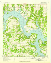
 1976 Gordonville NW1979 Print · USGSThe Red River borderlands and the western reaches of Lake Texoma are captured in this late-1970s aerial survey. Trace the rural settlements of Lebanon and Enville or study the intricate sandbars where the Red River enters Lake Texoma.
 - 1982 Map of Lebanon, 1983 Print
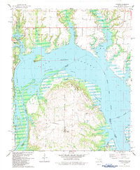 1982 Lebanon1983 Print · USGSThe Red River border between Oklahoma and Texas is captured in the early eighties as Lake Texoma winds through the Delaware Bend. Local historians can trace family-named sites like Pleasant Oak Cem and industrial landmarks such as the Handy Oil Field.
 - 1985 Map of Sherman, 1991 Print
 1985 Sherman1991 Print · USGSThe borderlands of North Texas and Southern Oklahoma are captured here in the mid-eighties, centered on the expansive waters of Lake Texoma. Researchers can trace the legacy of the regional rail economy through the Missouri-Kansas-Texas RR or explore the geography of Hagerman National Wildlife Refuge and Carpenters Bluff.
 - 2010 Map of Lebanon, 2010 Print
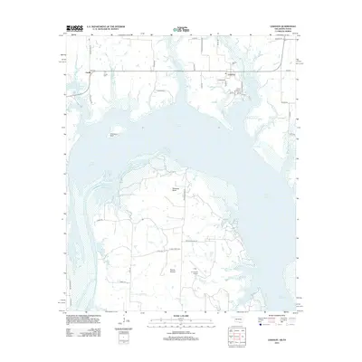
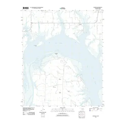 2010 Lebanon2010 Print · USGSCovers Enville, including Lebanon, Grayson County, and other nearby areas
 - 2012 Map of Lebanon, 2012 Print
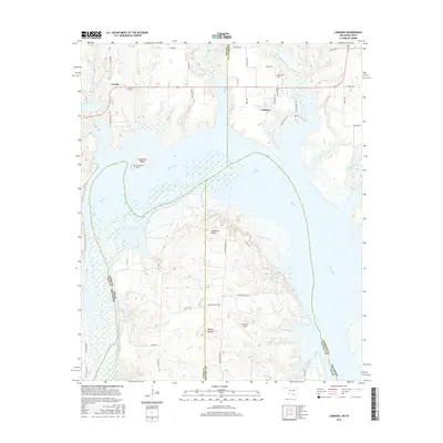
 2012 Lebanon2012 Print · USGSCovers Enville, including Lebanon, Grayson County, and other nearby areas
 - 2016 Map of Lebanon, 2016 Print
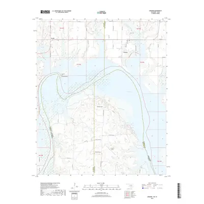
 2016 Lebanon2016 Print · USGSCovers Enville, including Lebanon, Grayson County, and other nearby areas
 - 2018 Map of Lebanon, 2018 Print
 2018 Lebanon2018 Print · USGSCovers Enville, including Lebanon, Grayson County, and other nearby areas
 - 2022 Map of Lebanon, 2022 Print
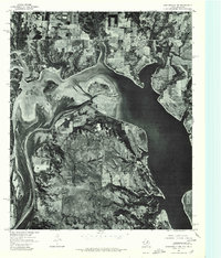
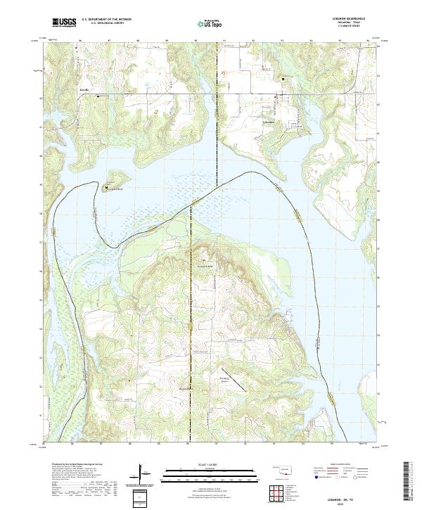 2022 Lebanon2022 Print · USGSThe Red River shoreline in the early 2020s shows a landscape shaped by water and ranching. Genealogists can locate family sites near Lebanon Cem and Enville, while explorers can trace the winding reaches of Delaware Bend and Slickum Slough.
End of results
Showing maps 1-12 of 12
Top cities near Enville
- Ardmore historical maps
- Madill historical maps
- Marietta historical maps
- Dickson historical maps
- Oakland historical maps
- Mannsville historical maps
See more
Frequently asked questions
- What are the different types of historical maps available for Enville?
- What is the oldest map of Enville?
- Where can I purchase historical maps of Enville for my home or office?
- Where can I download high-res historical maps of Enville?
- Are there historical topographic maps available for Enville?
- Is there historical aerial imagery available for Enville?
- Where are historical maps of Enville sourced from?