Old Maps of Locust Grove, Oklahoma for Metal Detecting
Plan your next treasure hunt with 12 historic maps of Locust Grove. Find old homesites, ghost towns, trails, and gathering spots that may be lost to time — perfect for identifying promising metal detecting locations.
- Locate forgotten sites: Uncover places like long-lost settlements, abandoned rail lines, or gathering spots.
- Plan better hunts: Use map overlays combined with LiDAR or satellite views to narrow in on historically rich areas.
- Made for detectorists: Thousands of hobbyists use these maps to discover relics, coins, and hidden history.
Use these historic maps to boost your research and find new opportunities beneath the surface of Locust Grove.
Locust Grove, OK maps
(12)- 1896 Map of Pryor, 1963 Print
 1896 Pryor1963 Print · USGSThe Cherokee Nation comes into focus during the late nineteenth century as railroads began to transform the Indian Territory landscape. Genealogists and historians can trace essential river crossings like Sixkiller Ferry and Adams Ford or locate early settlements such as Bushyhead and Mazie.
 - 1901 Map of Pryor
 1901 Pryor1901 Print · USGSIndian Territory at the turn of the century shows a landscape transitioning from tribal lands to a rail-connected frontier. Genealogists and historians can trace early river crossings like Markham Ferry and Dirteater Ford alongside frontier settlements like Choteau and Bushyhead.5 unique versions available
 - 1954 Map of Tulsa
 1954 Tulsa1954 Print · USGSNortheast Oklahoma and the Ozark border are shown here during a period of massive industrial and infrastructure growth. Researchers can trace the legacy of the Tri-State Mining District and the development of major reservoirs like Grand Lake O' The Cherokees.2 unique versions available
 - 1958 Map of Tulsa, 1968 Print
 1958 Tulsa1968 Print · USGSNortheast Oklahoma and the Ozark borderlands are captured here during a massive era of reservoir construction and highway expansion. Researchers can trace the mid-century footprints of Tulsa, the sprawling Lake O' the Cherokees, and historical sites like Pea Ridge National Military Park.3 unique versions available
 - 1963 Map of Tulsa
 1963 Tulsa1963 Print · USGSThe Oklahoma and Arkansas borderlands are shown here in the early sixties, a time of massive reservoir construction and heavy mining. Genealogists can trace family roots through settlements like Nowata, Pryor, and Jay, or locate historical zinc and lead mines and coal mines.
 - 1972 Map of Locust Grove, 1974 Print
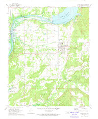 1972 Locust Grove1974 Print · USGSLocust Grove and the Neosho River valley are captured in the early seventies during a period of significant hydroelectric and industrial development. Researchers can trace family sites like Hogan Cem and Haner Cem alongside the Old Railroad Grade.2 unique versions available
 - 1985 Map of Tulsa
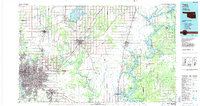 1985 Tulsa1985 Print · USGSNortheastern Oklahoma in the mid-eighties shows a landscape shaped by massive reservoirs and a bustling transportation network. Researchers can trace the path of the Will Rogers Turnpike or locate local landmarks like Mohawk Park and Oologah Lake.2 unique versions available
 - 2010 Map of Locust Grove, 2010 Print
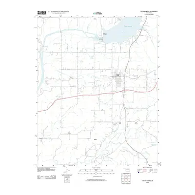 2010 Locust Grove2010 Print · USGSLocust Grove and the surrounding Mayes County countryside are captured here in the early twenty-first century as the landscape adapted to the management of the Neosho River. Researchers can trace family roots at Bryan Cemetery or explore the geography near Lake Hudson and the Robert S Kerr Dam.
 - 2012 Map of Locust Grove, 2012 Print
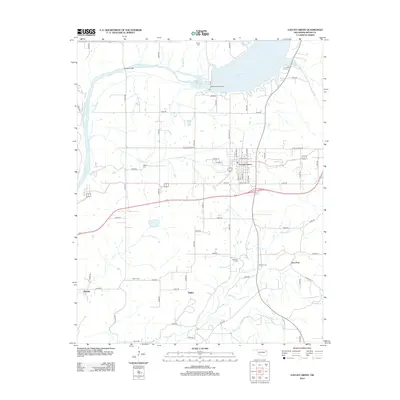 2012 Locust Grove2012 Print · USGSLocust Grove and the surrounding Mayes County countryside are captured here in the early twenty-first century as the region manages its local waterways and rural hubs. Researchers can trace family history through several sites like Haner Cem or explore the terrain near Ballou and Iron Post.
 - 2016 Map of Locust Grove, 2016 Print
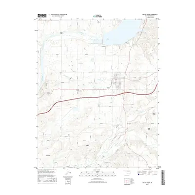 2016 Locust Grove2016 Print · USGSLocust Grove and the surrounding Mayes County countryside are documented here in the mid-2010s, showing the intersection of local town life and rural landscapes. Genealogists can locate several burial grounds, such as Hogan Cem, McLain Cem, and Ballou Cem, alongside the waters of Lake Hudson.
 - 2019 Map of Locust Grove, 2019 Print
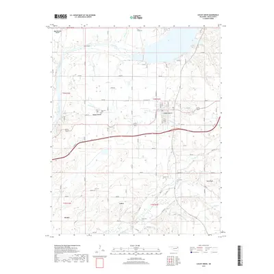 2019 Locust Grove2019 Print · USGSMayes County in the late 2010s shows a landscape where small rural settlements and family heritage intersect along the Neosho River. Genealogists can locate several named burial sites such as Haner Cem and Hogan Cem near the communities of Ballou and Iron Post.
 - 2022 Map of Locust Grove, 2022 Print
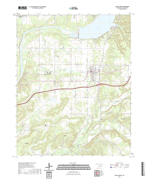 2022 Locust Grove2022 Print · USGSLocust Grove and the surrounding Mayes County countryside are captured here in the early 2020s. Genealogists can locate several family-named burial grounds like Bryan-Lindsey Cem and McLain Cem, while tracing rural settlements at Ballou and Iron Post.
End of results
Showing maps 1-12 of 12
Top cities near Locust Grove
- Pryor Creek historical maps
- Wagoner historical maps
- Chouteau historical maps
- Salina historical maps
- Adair historical maps
- Spavinaw historical maps
See more
Frequently asked questions
- What are the different types of historical maps available for Locust Grove?
- What is the oldest map of Locust Grove?
- Where can I purchase historical maps of Locust Grove for my home or office?
- Where can I download high-res historical maps of Locust Grove?
- Are there historical topographic maps available for Locust Grove?
- Is there historical aerial imagery available for Locust Grove?
- Where are historical maps of Locust Grove sourced from?