Old Maps of Byars, Oklahoma
Explore 17 old maps of Byars, spanning from 1898 to today. These high-resolution historic maps reveal how streets, neighborhoods, landmarks, and natural features evolved over time — perfect for genealogy, metal detecting, research, and local history exploration.
What you can do with these maps:
- See how Byars changed over time: Compare historical maps to modern-day views to trace roads, homesites, rail lines & more.
- View detailed metadata: Each map includes creators, publishers, year, scale, and archive source.
- Overlay maps with satellite & LiDAR: Visualize the past alongside modern tools to explore terrain & human change.
- Trusted historical sources: Maps sourced from the USGS, Library of Congress, and other archives.
- Access maps your way: View online, download high-res files, or order prints for personal or research use.
Start exploring old maps of Byars to uncover forgotten places, hidden landmarks, and the deep history beneath your feet.
Byars, OK maps
(17)- 1898 Map of Pauls Valley, 1954 Print
 1898 Pauls Valley1954 Print · USGSThe Chickasaw Nation is documented at the turn of the century, showing the rail-driven growth of the Washita River valley. Researchers can trace early settlements like Whitebead and Wynnewood along the Gulf Colorado and Santa Fe RR.
 - 1902 Map of Pauls Valley
 1902 Pauls Valley1902 Print · USGSThe Chickasaw Nation at the turn of the century shows a landscape of river-valley agriculture and burgeoning rail towns. Genealogists and historians can trace the early footprints of Pauls Valley, Wynnewood, and Whitebead before statehood.5 unique versions available
 - 1957 Map of Ardmore, 1968 Print
 1957 Ardmore1968 Print · USGSSouth-central Oklahoma in the late fifties was a landscape of rising reservoir waters and expanding rail lines. Genealogists and historians can trace the foundations of Ardmore and Duncan or locate early recreation sites at Platt National Park and Lake Murray State Park.3 unique versions available
 - 1963 Map of Ardmore
 1963 Ardmore1963 Print · USGSSouthern Oklahoma during the early sixties shows a landscape defined by the Arbuckle Mountains and a booming energy economy. Genealogists and historians can trace family-named sites across the Ardmore Oil Field, find old schools like Southeastern State College, or locate historic markers such as Boggy Depot State Park.2 unique versions available
 - 1964 Map of Byars, 1966 Print
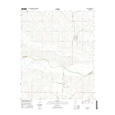
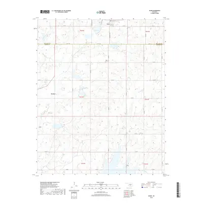
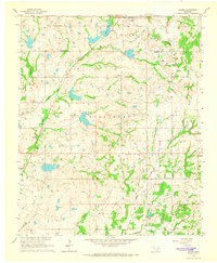 1964 Byars1966 Print · USGSOklahoma's central plains during the mid-sixties show a landscape of active extraction and old prairie settlements. Trace family roots through local landmarks like Dixon Chapel, Byars Cem, and the rail-side community of Boudinot along the Atchison Topeka and Santa Fe.2 unique versions available
 - 1965 Map of Wanette, 1966 Print
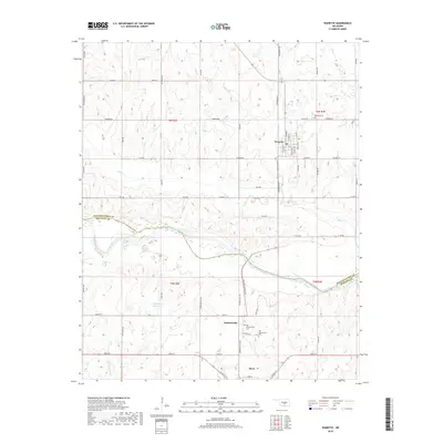
 1965 Wanette1966 Print · USGSThe Canadian River valley south of Wanette was a hub of petroleum production and rural settlement in the mid-sixties. Researchers can trace the legacy of oil exploration through the South Wanette Oil Field and locate family roots at New Johnsonville Cem.2 unique versions available
 - 1986 Map of Pauls Valley
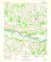
 1986 Pauls Valley1986 Print · USGSGarvin County and its neighbors are shown in the mid-1980s during a period of steady growth along the Washita River. Researchers can trace the path of the Atchison Topeka and Santa Fe railroad through Pauls Valley or locate rural sites like Mt Olive Church and Erin Springs.2 unique versions available
 - 2010 Map of Byars, 2010 Print
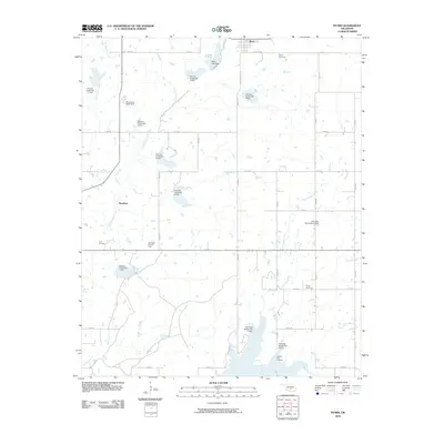 2010 Byars2010 Print · USGSCovers Byars, including Boudinot, McClain County, and other nearby areas
 - 2010 Map of Wanette, 2010 Print
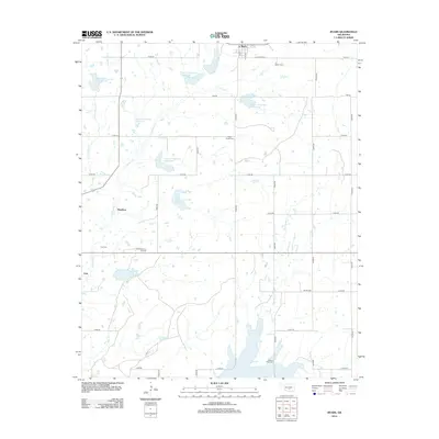
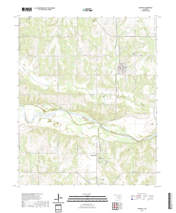
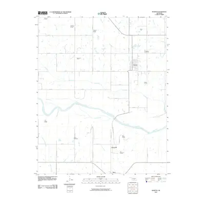 2010 Wanette2010 Print · USGSCovers Byars, including Wanette, Johnsonville, and other nearby areas
 - 2012 Map of Wanette, 2012 Print
 2012 Wanette2012 Print · USGSCovers Byars, including Wanette, Johnsonville, and other nearby areas
 - 2012 Map of Byars, 2012 Print
 2012 Byars2012 Print · USGSCovers Byars, including Boudinot, McClain County, and other nearby areas
 - 2016 Map of Byars, 2016 Print
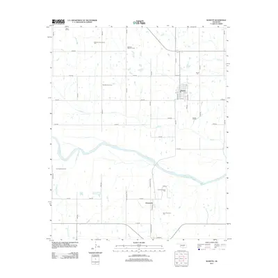
 2016 Byars2016 Print · USGSCovers Byars, including Boudinot, McClain County, and other nearby areas
 - 2016 Map of Wanette, 2016 Print
 2016 Wanette2016 Print · USGSCovers Byars, including Wanette, Johnsonville, and other nearby areas
 - 2018 Map of Byars, 2018 Print
 2018 Byars2018 Print · USGSCovers Byars, including Boudinot, McClain County, and other nearby areas
 - 2018 Map of Wanette, 2018 Print
 2018 Wanette2018 Print · USGSCovers Byars, including Wanette, Johnsonville, and other nearby areas
 - 2022 Map of Wanette, 2022 Print
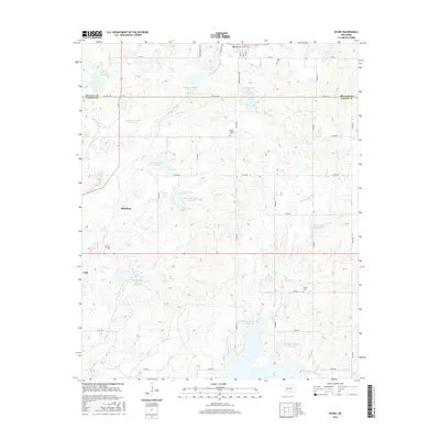
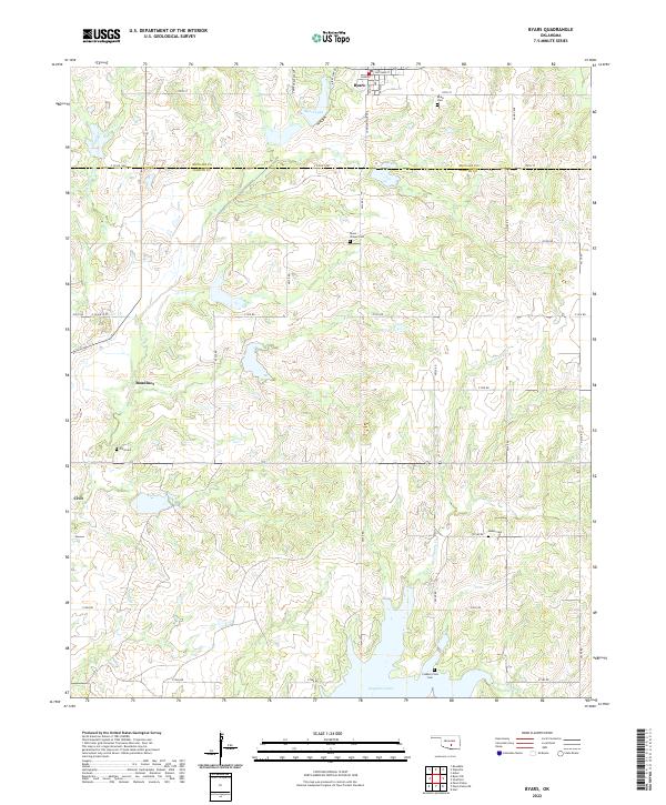
 2022 Wanette2022 Print · USGSThe Oklahoma heartland around Wanette is shown here in the 2020s, highlighting the rural sections along the Canadian River and the McClain County line. Researchers can pinpoint historic burial grounds like Old Johnsonville Cem and the Martin Hill Cem.
 - 2022 Map of Byars, 2022 Print
 2022 Byars2022 Print · USGSCentral Oklahoma's rural landscapes and county borders are captured here in the early twenty-first century. Genealogists can locate several remote burial sites, including Clabber Flats Cem and Abney Cem, while tracing old homesteads near Boudinot and Civit.
End of results
Showing maps 1-17 of 17
Top cities near Byars
- Pauls Valley historical maps
- Slaughterville historical maps
- Wynnewood historical maps
- Stratford historical maps
- Paoli historical maps
- Asher historical maps
See more
Frequently asked questions
- What are the different types of historical maps available for Byars?
- What is the oldest map of Byars?
- Where can I purchase historical maps of Byars for my home or office?
- Where can I download high-res historical maps of Byars?
- Are there historical topographic maps available for Byars?
- Is there historical aerial imagery available for Byars?
- Where are historical maps of Byars sourced from?