Old Maps of Purcell, Oklahoma for Academic Research
Study the evolution of Purcell with 36 high-resolution historic maps. Whether you're teaching, researching, or modeling changes in land use, these maps provide essential visual documentation of urban, environmental, and geographic change.
- Analyze long-term change: Track patterns in development, transportation, and natural features.
- Ideal for environmental or urban studies: Support academic projects with primary historical map data.
- Use in the classroom or lab: Educators and researchers rely on these maps to bring historical context to life.
These maps are a powerful tool for teaching, research, and visualizing how Purcell has changed over the decades.
Purcell, OK maps
(36)- 1893 Map of Norman
 1893 Norman1893 Print · USGSOklahoma Territory and Indian Territory meet along the river in the late nineteenth century. Trace the early footprints of Norman, Noble, and Purcell along the Atchison Topeka and Santa Fe R. R. and the winding Canadian River.2 unique versions available
 - 1898 Map of Purcell
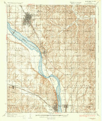
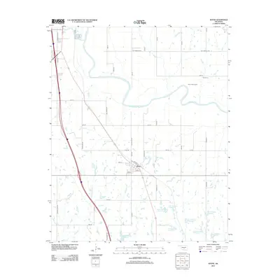
 1898 Purcell1898 Print · USGSOklahoma and Indian Territory are captured at the end of the century during a period of rapid regional expansion. Genealogists and historians can trace the early rail alignment of the G C and S F R R as it passes through Purcell near Walnut Creek.
 - 1898 Map of Pauls Valley, 1954 Print
 1898 Pauls Valley1954 Print · USGSThe Chickasaw Nation is documented at the turn of the century, showing the rail-driven growth of the Washita River valley. Researchers can trace early settlements like Whitebead and Wynnewood along the Gulf Colorado and Santa Fe RR.
 - 1902 Map of Pauls Valley
 1902 Pauls Valley1902 Print · USGSThe Chickasaw Nation at the turn of the century shows a landscape of river-valley agriculture and burgeoning rail towns. Genealogists and historians can trace the early footprints of Pauls Valley, Wynnewood, and Whitebead before statehood.5 unique versions available
 - 1936 Map of Norman
 1936 Norman1936 Print · USGSThe river valley between Norman and Purcell is captured here in the mid-1930s as the railroad and river define local growth. Genealogists can trace family footprints across dozens of rural landmarks, from the University of Oklahoma to local schools like Goldsby Sch and Lone Star Sch.5 unique versions available
 - 1954 Map of Oklahoma City
 1954 Oklahoma City1954 Print · USGSOklahoma City and its surrounding counties are captured here in the early fifties during a period of significant postwar growth. Researchers can trace the development of the Turner Turnpike and locate aviation hubs like Tinker Field or Will Rogers Field.
 - 1957 Map of Ardmore, 1968 Print
 1957 Ardmore1968 Print · USGSSouth-central Oklahoma in the late fifties was a landscape of rising reservoir waters and expanding rail lines. Genealogists and historians can trace the foundations of Ardmore and Duncan or locate early recreation sites at Platt National Park and Lake Murray State Park.3 unique versions available
 - 1957 Map of Oklahoma City, 1969 Print
 1957 Oklahoma City1969 Print · USGSCentral Oklahoma is captured here in a period of significant mid-century growth and industrialization. Researchers can trace family roots through numerous rural markers like Memory Lane Cem, New Hope School, and the sprawling grounds of Tinker Air Force Base.3 unique versions available
 - 1963 Map of Ardmore
 1963 Ardmore1963 Print · USGSSouthern Oklahoma during the early sixties shows a landscape defined by the Arbuckle Mountains and a booming energy economy. Genealogists and historians can trace family-named sites across the Ardmore Oil Field, find old schools like Southeastern State College, or locate historic markers such as Boggy Depot State Park.2 unique versions available
 - 1963 Map of Oklahoma City
 1963 Oklahoma City1963 Print · USGSCentral Oklahoma in the early sixties showcases a landscape of rapid suburban growth and established oil production. Researchers can trace historic rail lines like the Chicago Rock Island and Pacific RR or locate rural landmarks such as Mayflower School and Bethel Church.
 - 1965 Map of Wayne, 1966 Print
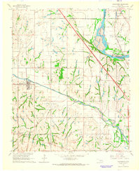
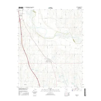
 1965 Wayne1966 Print · USGSMid-century McClain County is documented here as the railroad-era towns of Wayne and Purcell continued to evolve alongside the Canadian River. Researchers can trace old property lines near the Old Indian Treaty Boundary and locate the Denton Cem or the West Corbett Oil Field.3 unique versions available
 - 1965 Map of Purcell, 1966 Print
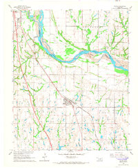
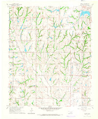
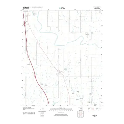
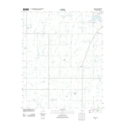
 1965 Purcell1966 Print · USGSThe Canadian River valley in the mid-sixties shows the distinct twin-town relationship between Purcell and Lexington. Genealogists and local historians can trace rural footprints at the Canada Sch, Shilo Ch, and the Indian Treaty Boundary.2 unique versions available
 - 1965 Map of Washington, 1966 Print
 1965 Washington1966 Print · USGSMcClain and Cleveland counties come alive in the mid-sixties, showing a landscape defined by the Canadian River and active petroleum exploration. Genealogists and local historians can trace rural roots at Woody Chapel, Washington Cem, and Union Hill Ch.3 unique versions available
 - 1965 Map of Stealy, 1966 Print
 1965 Stealy1966 Print · USGSMcClain County oil and ranch land is captured here in the mid-1960s, showing the intersection of rural life and petroleum production. Genealogists and historians can locate old homesteads near Stealy, Bethlehem Ch, and the West Flint Creek Oil Field.3 unique versions available
 - 1985 Map of Oklahoma City South
 1985 Oklahoma City South1985 Print · USGSOklahoma City and its southern neighbors show a period of significant growth during the mid-eighties as suburban expansion met rural county lines. Researchers can trace the development of Tinker Air Force Base and locate smaller communities like Goldsby, Stella, and Woody Chapel.2 unique versions available
 - 1986 Map of Pauls Valley
 1986 Pauls Valley1986 Print · USGSGarvin County and its neighbors are shown in the mid-1980s during a period of steady growth along the Washita River. Researchers can trace the path of the Atchison Topeka and Santa Fe railroad through Pauls Valley or locate rural sites like Mt Olive Church and Erin Springs.2 unique versions available
 - 2010 Map of Washington, 2010 Print
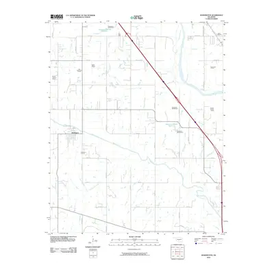 2010 Washington2010 Print · USGSCovers Purcell, including Noble, Goldsby, and other nearby areas
 - 2010 Map of Stealy, 2010 Print
 2010 Stealy2010 Print · USGSCovers Purcell, including Stealy, McClain County, and other nearby areas
 - 2010 Map of Purcell, 2010 Print
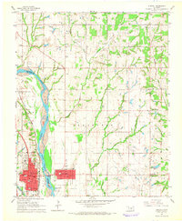
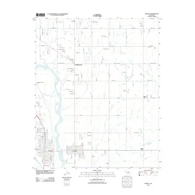
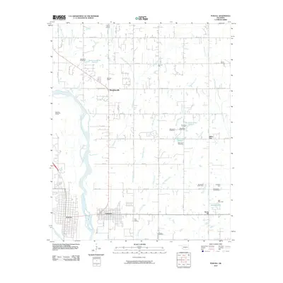 2010 Purcell2010 Print · USGSCovers Purcell, including Noble, Slaughterville, and other nearby areas
 - 2010 Map of Wayne, 2010 Print
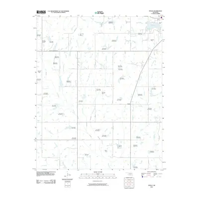
 2010 Wayne2010 Print · USGSCovers Purcell, including Wayne, Cleveland County, and other nearby areas
 - 2012 Map of Purcell, 2012 Print
 2012 Purcell2012 Print · USGSCovers Purcell, including Noble, Slaughterville, and other nearby areas
 - 2012 Map of Washington, 2012 Print
 2012 Washington2012 Print · USGSCovers Purcell, including Noble, Goldsby, and other nearby areas
 - 2012 Map of Wayne, 2012 Print
 2012 Wayne2012 Print · USGSCovers Purcell, including Wayne, Cleveland County, and other nearby areas
 - 2013 Map of Stealy, 2013 Print
 2013 Stealy2013 Print · USGSCovers Purcell, including Stealy, McClain County, and other nearby areas
 - 2016 Map of Wayne, 2016 Print
 2016 Wayne2016 Print · USGSCovers Purcell, including Wayne, Cleveland County, and other nearby areas
Showing maps 1-25 of 36
Top cities near Purcell
- Norman historical maps
- Newcastle historical maps
- Blanchard historical maps
- Noble historical maps
- Slaughterville historical maps
- Lindsay historical maps
See more
Frequently asked questions
- What are the different types of historical maps available for Purcell?
- What is the oldest map of Purcell?
- Where can I purchase historical maps of Purcell for my home or office?
- Where can I download high-res historical maps of Purcell?
- Are there historical topographic maps available for Purcell?
- Is there historical aerial imagery available for Purcell?
- Where are historical maps of Purcell sourced from?