Old Maps of Idabel, Oklahoma
Explore 23 old maps of Idabel, spanning from 1950 to today. These high-resolution historic maps reveal how streets, neighborhoods, landmarks, and natural features evolved over time — perfect for genealogy, metal detecting, research, and local history exploration.
What you can do with these maps:
- See how Idabel changed over time: Compare historical maps to modern-day views to trace roads, homesites, rail lines & more.
- View detailed metadata: Each map includes creators, publishers, year, scale, and archive source.
- Overlay maps with satellite & LiDAR: Visualize the past alongside modern tools to explore terrain & human change.
- Trusted historical sources: Maps sourced from the USGS, Library of Congress, and other archives.
- Access maps your way: View online, download high-res files, or order prints for personal or research use.
Start exploring old maps of Idabel to uncover forgotten places, hidden landmarks, and the deep history beneath your feet.
Idabel, OK maps
(23)- 1950 Map of Idabel, 1962 Print
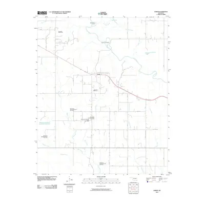
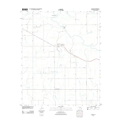
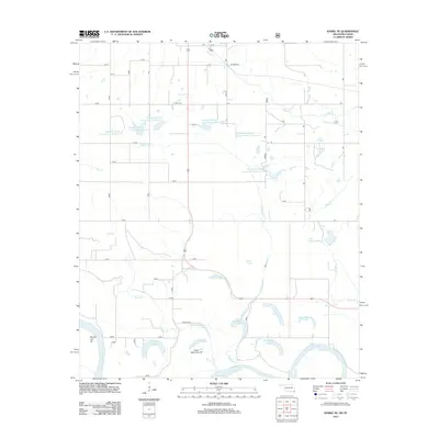
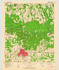 1950 Idabel1962 Print · USGSSoutheastern Oklahoma’s river valleys and rail corridors are captured here just after the war, centered on the growing community of Idabel. Researchers can trace the lineage of local families through landmarks like Gray High Sch, Denison Cem, and rural outposts such as Twin Springs.3 unique versions available
 - 1951 Map of Idabel
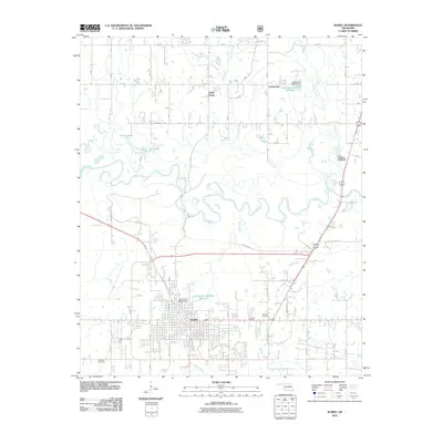
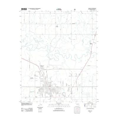
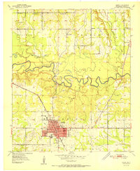 1951 Idabel1951 Print · USGSMcCurtain County enters the 1950s with its seat of Idabel as a bustling rail and civic hub. Genealogists and local historians can trace the foundations of the community through its many local schools and churches like Gray High Sch and Livingland Ch.2 unique versions available
 - 1951 Map of Garvin
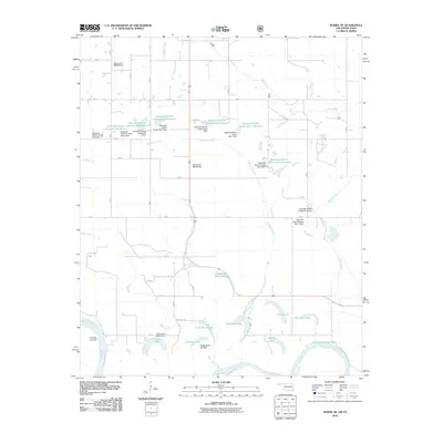
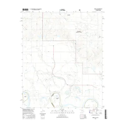
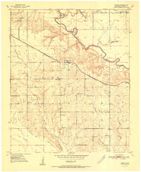 1951 Garvin1951 Print · USGSMcCurtain County's rural landscape at mid-century is captured here, centered on the settlement of Garvin and the winding Little River. Genealogists and historians can trace numerous country schools and churches, such as Wheelock Academy, Honey Grove Sch, and Waterhole Ch.2 unique versions available
 - 1951 Map of Idabel SE
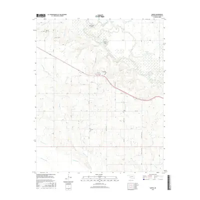
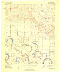 1951 Idabel SE1951 Print · USGSThe Oklahoma-Texas border along the Red River is captured here in the early fifties, showing a landscape of shifting oxbows and rural social hubs. Researchers can trace local history through the St Louis San Francisco rail line and sites like Kullituklo Ch and Richland Sch.2 unique versions available
 - 1953 Map of Texarkana, 1964 Print
 1953 Texarkana1964 Print · USGSThe Texas-Arkansas borderlands are captured here in the mid-fifties, during a decade of massive military and hydraulic engineering projects. Genealogists and researchers can locate family landmarks like Old Boston Cem, Siloam Ch, and the vast Red River Arsenal.4 unique versions available
 - 1956 Map of Texarkana
 1956 Texarkana1956 Print · USGSThe Ark-La-Tex borderlands come alive in the mid-fifties, showing the transition from a rail-dependent rural economy to a post-war industrial landscape. Researchers can trace the massive Red River Ordnance Depot and find towns like Talco, Bogata, and Naples.
 - 1986 Map of Idabel
 1986 Idabel1986 Print · USGSThe tri-state borderlands of Oklahoma, Arkansas, and Texas come alive in the 1980s, centered on the Red River and the timberlands of the Ouachita National Forest. Genealogists and historians can trace the paths of the Missouri Pacific railroad through towns like Bokhoma and Ashdown.
 - 1990 Map of Idabel
 1990 Idabel1990 Print · USGSThe tri-state borderlands of Oklahoma, Arkansas, and Texas come alive in this late twentieth-century survey of the Red River valley. Researchers can trace the legacy of rail and river commerce through settlements like Bokhoma and Ashdown or find rural landmarks such as Hill Chapel.
 - 2010 Map of Garvin, 2010 Print
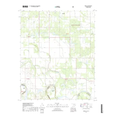
 2010 Garvin2010 Print · USGSCovers Idabel, including Garvin, Iron Stob Corner, and other nearby areas
 - 2010 Map of Idabel SE, 2010 Print
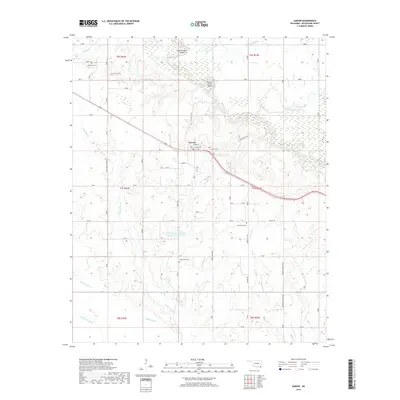
 2010 Idabel SE2010 Print · USGSCovers Idabel, including McCurtain County, Red River County, and other nearby areas
 - 2010 Map of Idabel, 2010 Print
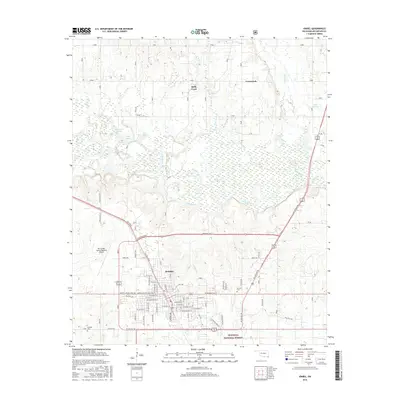
 2010 Idabel2010 Print · USGSCovers Idabel, including Broken Bow, Crossroads, and other nearby areas
 - 2012 Map of Garvin, 2012 Print
 2012 Garvin2012 Print · USGSCovers Idabel, including Garvin, Iron Stob Corner, and other nearby areas
 - 2012 Map of Idabel SE, 2012 Print
 2012 Idabel SE2012 Print · USGSCovers Idabel, including McCurtain County, Red River County, and other nearby areas
 - 2013 Map of Idabel, 2013 Print
 2013 Idabel2013 Print · USGSCovers Idabel, including Broken Bow, Crossroads, and other nearby areas
 - 2016 Map of Idabel SE, 2016 Print
 2016 Idabel SE2016 Print · USGSCovers Idabel, including McCurtain County, Red River County, and other nearby areas
 - 2016 Map of Garvin, 2016 Print
 2016 Garvin2016 Print · USGSCovers Idabel, including Garvin, Iron Stob Corner, and other nearby areas
 - 2016 Map of Idabel, 2016 Print
 2016 Idabel2016 Print · USGSCovers Idabel, including Broken Bow, Crossroads, and other nearby areas
 - 2019 Map of Idabel SE, 2019 Print
 2019 Idabel SE2019 Print · USGSCovers Idabel, including McCurtain County, Red River County, and other nearby areas
 - 2019 Map of Idabel, 2019 Print
 2019 Idabel2019 Print · USGSCovers Idabel, including Broken Bow, Crossroads, and other nearby areas
 - 2019 Map of Garvin, 2019 Print
 2019 Garvin2019 Print · USGSCovers Idabel, including Garvin, Iron Stob Corner, and other nearby areas
 - 2022 Map of Garvin, 2022 Print
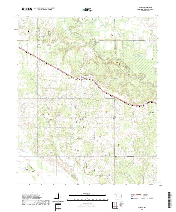 2022 Garvin2022 Print · USGSMcCurtain County's river-bottom lands and rural settlements are documented here during the early 2020s. Researchers can pinpoint long-established burial grounds like Wheelock Cem and Forest Hill Cem or trace the winding course of the Little River through Possum Ford Bend.
 - 2022 Map of Idabel SE, 2022 Print
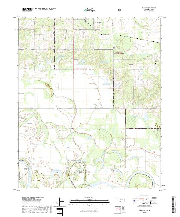 2022 Idabel SE2022 Print · USGSThe Oklahoma and Texas borderlands along the Red River are captured here in a landscape defined by oxbows and managed forests. Genealogists and local historians can trace the wetland edges of Jenkins Reilly Slough or locate the historic Kulli Tuklo Cem.
 - 2022 Map of Idabel, 2022 Print
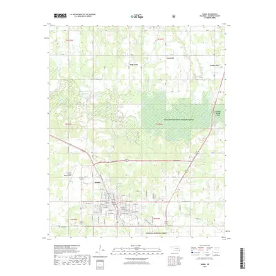
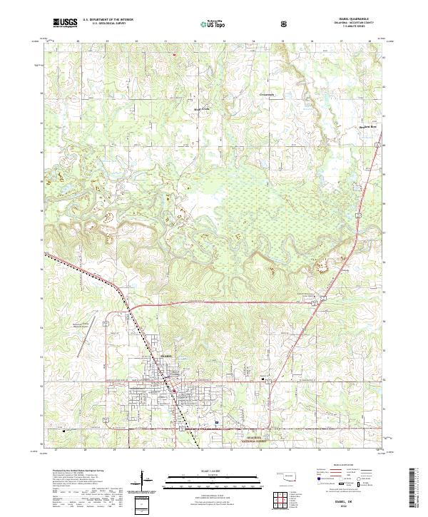 2022 Idabel2022 Print · USGSSoutheast Oklahoma comes into focus in the early 2020s, showcasing the intersection of civic development and natural preserves. Genealogists and local historians can trace landmarks from the McCurtain County Courthouse to the rural Denison Cem and Canfield Cem.
End of results
Showing maps 1-23 of 23
Top cities near Idabel
- Broken Bow historical maps
- Wright City historical maps
- Millerton historical maps
- Haworth historical maps
- Hochatown historical maps
- Garvin historical maps
Frequently asked questions
- What are the different types of historical maps available for Idabel?
- What is the oldest map of Idabel?
- Where can I purchase historical maps of Idabel for my home or office?
- Where can I download high-res historical maps of Idabel?
- Are there historical topographic maps available for Idabel?
- Is there historical aerial imagery available for Idabel?
- Where are historical maps of Idabel sourced from?