Loading...
Loading map...1950 Map of Idabel
USGS Topo · Published 1962About this map
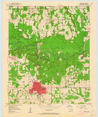
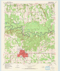
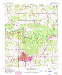
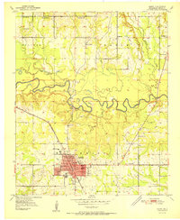
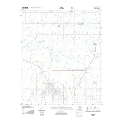
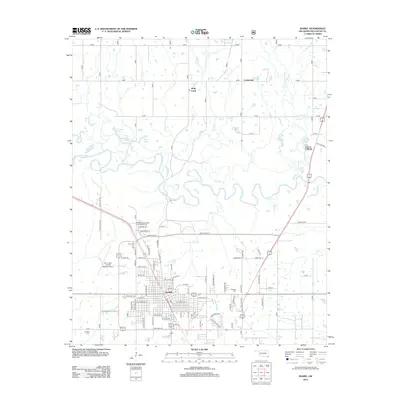
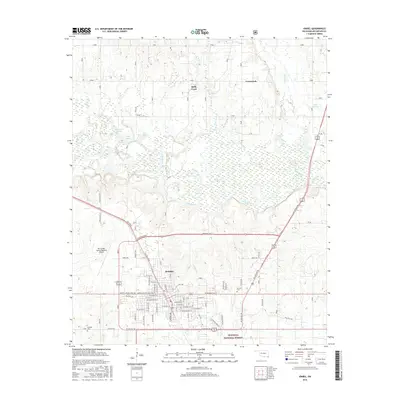
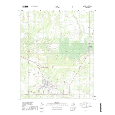
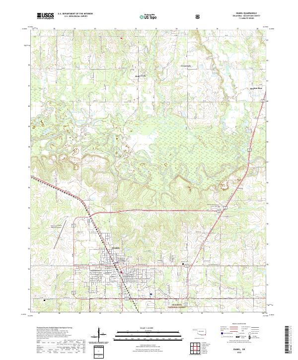
Idabel serves as the focal point of this McCurtain County landscape, characterized by its grid of urban streets and civic infrastructure including the Courthouse, Armory, and multiple educational centers like Gray High Sch. The town is positioned just south of the winding Little River, which meanders through a dense corridor of forested bottomlands. The St Louis - San Francisco railroad provides the primary industrial link, cutting a diagonal path through the settlement.
Find a feature on this map
39 named features on this map. Tap any name to fly to it.
Don’t see what you’re looking for? This feature index may not catch every label — zoom into the map to look around manually.
Map Details
Date Portrayed1950
Date Published1962
PublisherU.S. Geological Survey
Map TypeTopographic
Scale1:24,000
Physical Dimensions23 x 27.3 inches
Editions of this 1950 Idabel Map
3 editions found
Historical Maps of Idabel Through Time
9 maps found


Featured Locations
Source Details
SourceU.S. Geological Survey
CopyrightPublic Domain