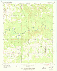
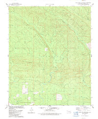
1950 Map of Shults
USGS Topo · Published 1975This historical map portrays the area of Shults in 1950, primarily covering McCurtain County. Featuring a scale of 1:24000, this map provides a highly detailed snapshot of the terrain, roads, buildings, counties, and historical landmarks in the Shults region at the time. Published in 1975, it is one of 2 known editions of this map due to revisions or reprints.
Map Details
Editions of this 1950 Shults Map
2 editions found
Historical Maps of McCurtain County Through Time
24 maps found
1902 Lukfata
McCurtain County, OK
1950 Bokhoma
McCurtain County, OK
1950 Goodwater
McCurtain County, OK
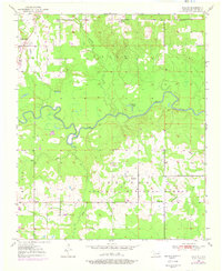
1950 Shults
McCurtain County, OK
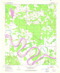
1950 Tom
McCurtain County, OK
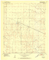
1951 Bokhoma
McCurtain County, OK
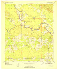
1951 Goodwater
McCurtain County, OK
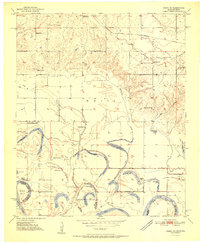
1951 Idabel SE
McCurtain County, OK
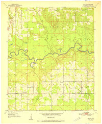
1951 Shults
McCurtain County, OK
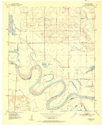
1951 Tom
McCurtain County, OK
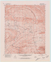
1960 Bethel
McCurtain County, OK
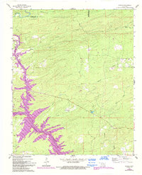
1962 Alikchi
McCurtain County, OK
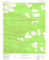
1981 Big Hudson Creek
McCurtain County, OK
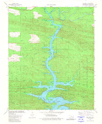
1981 Hee Creek
McCurtain County, OK
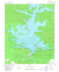
1981 Stephens Gap
McCurtain County, OK
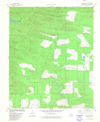
1981 Tablerville
McCurtain County, OK
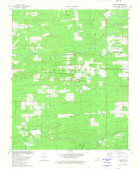
1981 Watson
McCurtain County, OK
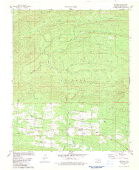
1982 Battiest
McCurtain County, OK
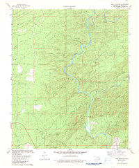
1982 Bear Mountain
McCurtain County, OK
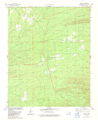
1982 Bethel
McCurtain County, OK
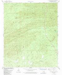
1982 Old Glory Mountain
McCurtain County, OK
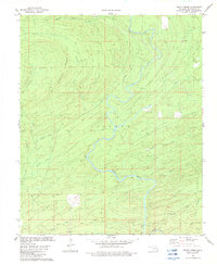
1982 Rocky Creek
McCurtain County, OK
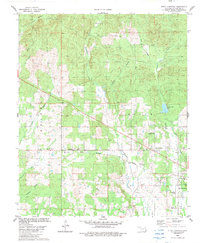
1982 Steel Junction
McCurtain County, OK
1982 White Rock Mountain
McCurtain County, OK