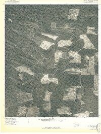
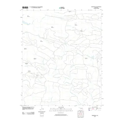
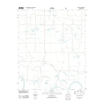
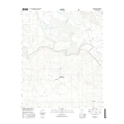
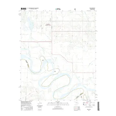
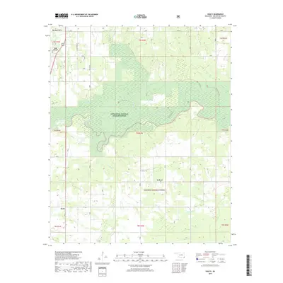
1950 Map of Tom
USGS Topo · Published 1976About this map
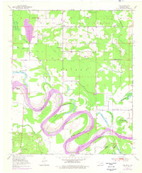
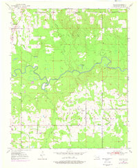
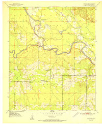
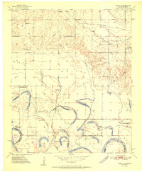
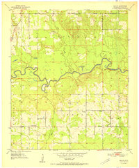
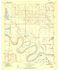
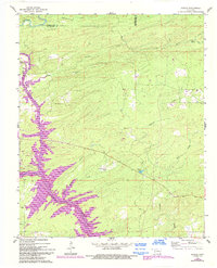
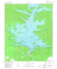
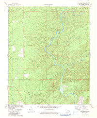
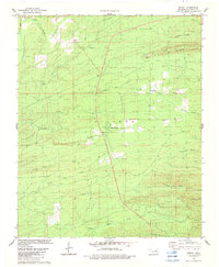
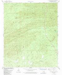
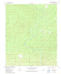
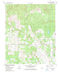
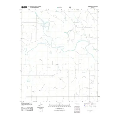
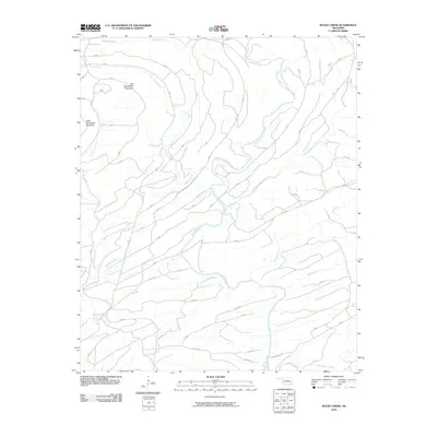
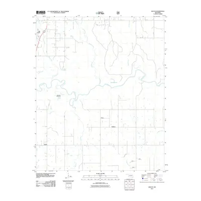
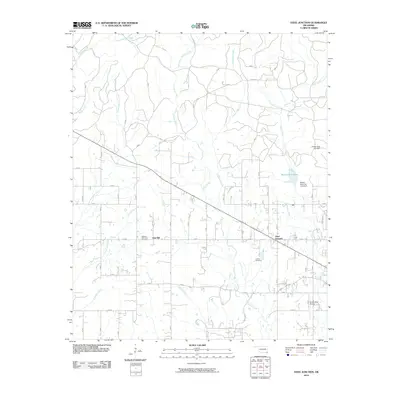
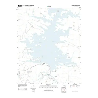
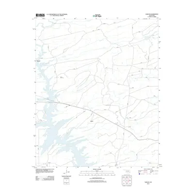
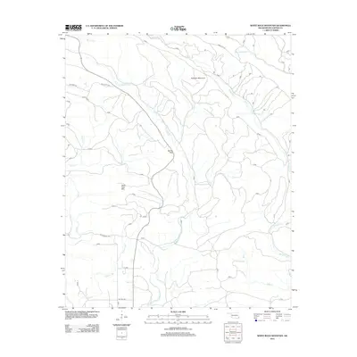
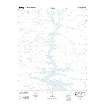
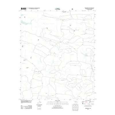
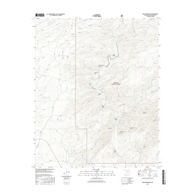
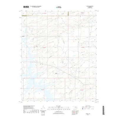
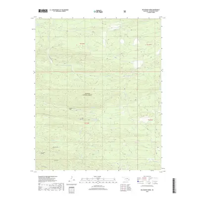
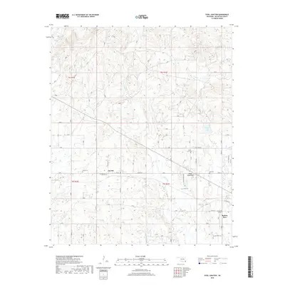
The meandering Red River defines the state boundary between Oklahoma and Texas, creating a complex landscape of islands, sloughs, and cut-off lakes. In the mid-20th century, the community of Tom served as a central hub for this rural corner of McCurtain County, surrounded by timberlands within the Ouachita National Forest. The settlement pattern is deeply rooted in local family history and community life, evidenced by a dense network of country schools and churches. Genealogists can trace local lineages through sites such as Harris Cem, Byrms Cem, and Manning Cem. The river's influence is visible in the numerous oxbows and named water bodies like Severn Island, Bailey Cut-off, and Snag Lake, illustrating the dynamic nature of the waterway before modern engineering. Local education is anchored by several rural institutions, including Pine Ridge Sch and Pleasant Grove Sch, which dot the landscape alongside community landmarks like Bright Star Ch.
Find a feature on this map
36 named features on this map. Tap any name to fly to it.
Don’t see what you’re looking for? This feature index may not catch every label — zoom into the map to look around manually.
Map Details
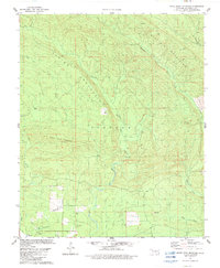
Editions of this 1950 Tom Map
This is the sole edition of this map. No revisions or reprints were ever made.
Historical Maps of Tom Through Time
116 maps found
1902 Lukfata
McCurtain County, OK
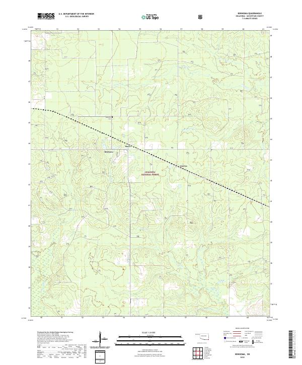
1950 Bokhoma
McCurtain County, OK
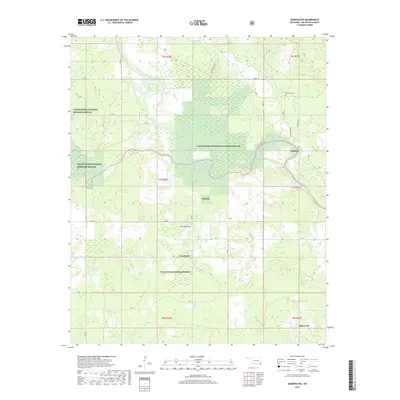
1950 Goodwater
McCurtain County, OK
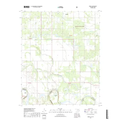
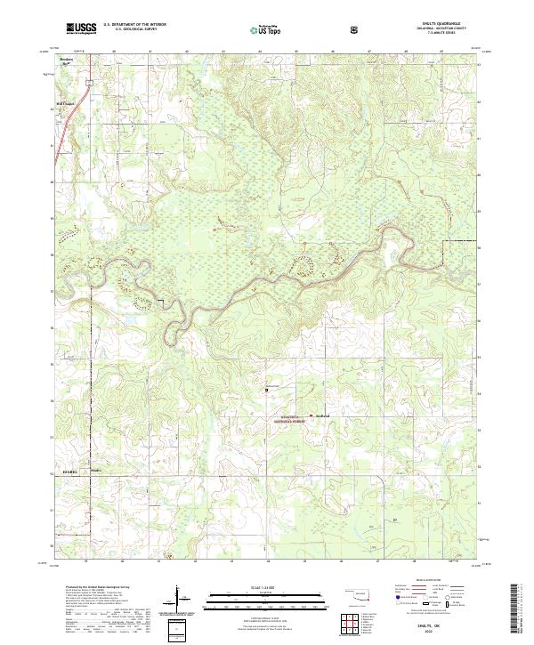
1950 Shults
McCurtain County, OK
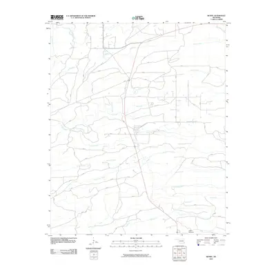
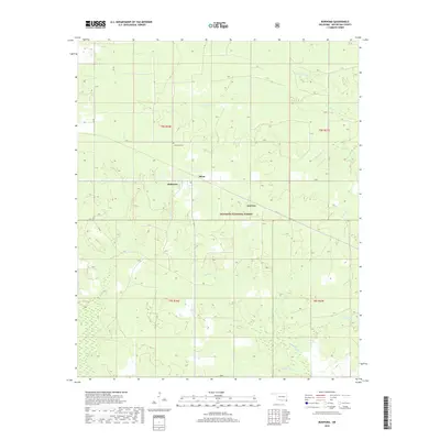
1950 Tom
McCurtain County, OK
1951 Bokhoma
McCurtain County, OK
1951 Goodwater
McCurtain County, OK
1951 Idabel SE
McCurtain County, OK
1951 Shults
McCurtain County, OK
1951 Tom
McCurtain County, OK
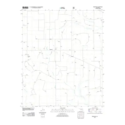
1960 Bethel
McCurtain County, OK
1962 Alikchi
McCurtain County, OK
1976 Broken bow NE
McCurtain County, OK
1976 Broken Bow SW
McCurtain County, OK
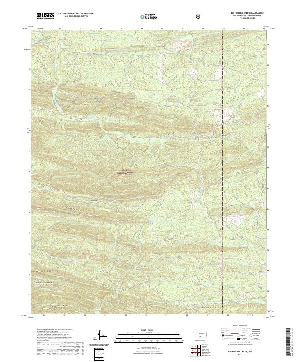
1981 Big Hudson Creek
McCurtain County, OK
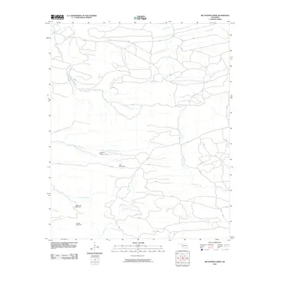
1981 Hee Creek
McCurtain County, OK
1981 Stephens Gap
McCurtain County, OK
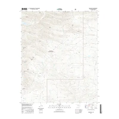
1981 Tablerville
McCurtain County, OK
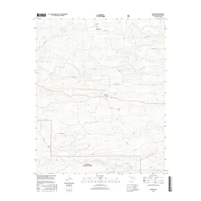
1981 Watson
McCurtain County, OK
1982 Battiest
McCurtain County, OK
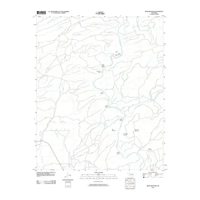
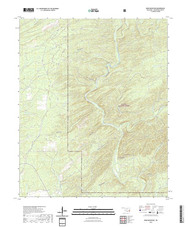
1982 Bear Mountain
McCurtain County, OK
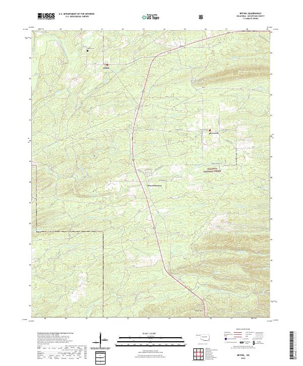
1982 Bethel
McCurtain County, OK
1982 Old Glory Mountain
McCurtain County, OK
1982 Rocky Creek
McCurtain County, OK
1982 Steel Junction
McCurtain County, OK
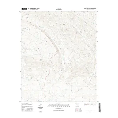
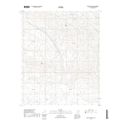
1982 White Rock Mountain
McCurtain County, OK
2010 Alikchi
McCurtain County, OK
2010 Battiest
McCurtain County, OK
2010 Bear Mountain
McCurtain County, OK
2010 Bethel
McCurtain County, OK
2010 Big Hudson Creek
McCurtain County, OK
2010 Bokhoma
McCurtain County, OK
2010 Goodwater
McCurtain County, OK
2010 Hee Creek
McCurtain County, OK
2010 Idabel SE
McCurtain County, OK
2010 Old Glory Mountain
McCurtain County, OK
2010 Rocky Creek
McCurtain County, OK
2010 Shults
McCurtain County, OK
2010 Steel Junction
McCurtain County, OK
2010 Stephens Gap
McCurtain County, OK
2010 Tablerville
McCurtain County, OK
2010 Tom
McCurtain County, OK
2010 Watson
McCurtain County, OK
2010 White Rock Mountain
McCurtain County, OK
2012 Alikchi
McCurtain County, OK
2012 Battiest
McCurtain County, OK
2012 Bokhoma
McCurtain County, OK
2012 Goodwater
McCurtain County, OK
2012 Idabel SE
McCurtain County, OK
2012 Shults
McCurtain County, OK
2012 Steel Junction
McCurtain County, OK
2012 Tom
McCurtain County, OK
2012 White Rock Mountain
McCurtain County, OK
2013 Bear Mountain
McCurtain County, OK
2013 Bethel
McCurtain County, OK
2013 Big Hudson Creek
McCurtain County, OK
2013 Hee Creek
McCurtain County, OK
2013 Old Glory Mountain
McCurtain County, OK
2013 Rocky Creek
McCurtain County, OK
2013 Stephens Gap
McCurtain County, OK
2013 Tablerville
McCurtain County, OK
2013 Watson
McCurtain County, OK
2016 Alikchi
McCurtain County, OK
2016 Battiest
McCurtain County, OK
2016 Bear Mountain
McCurtain County, OK
2016 Bethel
McCurtain County, OK
2016 Big Hudson Creek
McCurtain County, OK
2016 Bokhoma
McCurtain County, OK
2016 Goodwater
McCurtain County, OK
2016 Hee Creek
McCurtain County, OK
2016 Idabel SE
McCurtain County, OK
2016 Old Glory Mountain
McCurtain County, OK
2016 Rocky Creek
McCurtain County, OK
2016 Shults
McCurtain County, OK
2016 Steel Junction
McCurtain County, OK
2016 Stephens Gap
McCurtain County, OK
2016 Tablerville
McCurtain County, OK
2016 Tom
McCurtain County, OK
2016 Watson
McCurtain County, OK
2016 White Rock Mountain
McCurtain County, OK
2018 Alikchi
McCurtain County, OK
2018 Battiest
McCurtain County, OK
2018 Bear Mountain
McCurtain County, OK
2018 Bethel
McCurtain County, OK
2018 Big Hudson Creek
McCurtain County, OK
2018 Hee Creek
McCurtain County, OK
2018 Old Glory Mountain
McCurtain County, OK
2018 Rocky Creek
McCurtain County, OK
2018 Steel Junction
McCurtain County, OK
2018 Stephens Gap
McCurtain County, OK
2018 Tablerville
McCurtain County, OK
2018 Watson
McCurtain County, OK
2018 White Rock Mountain
McCurtain County, OK
2019 Bokhoma
McCurtain County, OK
2019 Goodwater
McCurtain County, OK
2019 Idabel SE
McCurtain County, OK
2019 Shults
McCurtain County, OK
2019 Tom
McCurtain County, OK
2022 Alikchi
McCurtain County, OK
2022 Battiest
McCurtain County, OK
2022 Bear Mountain
McCurtain County, OK
2022 Bethel
McCurtain County, OK
2022 Big Hudson Creek
McCurtain County, OK
2022 Bokhoma
McCurtain County, OK
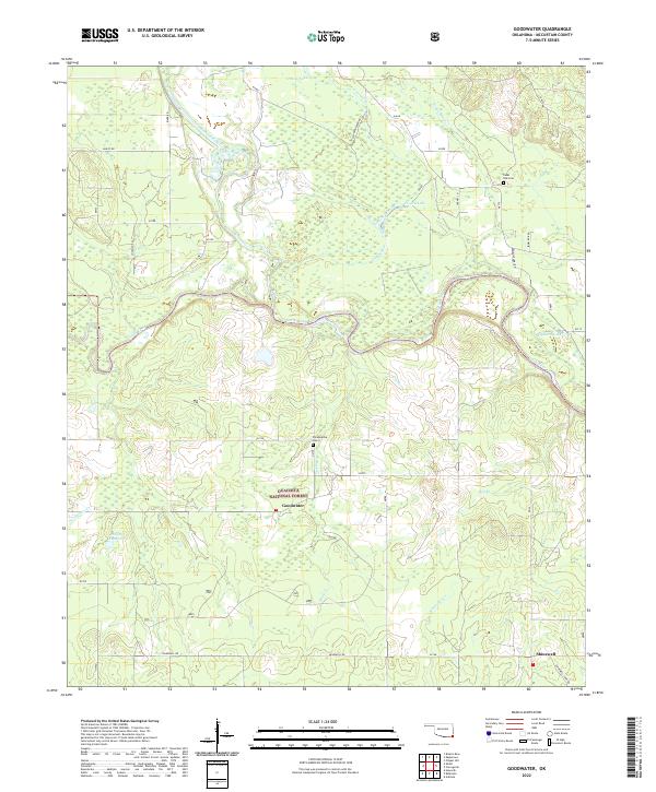
2022 Goodwater
McCurtain County, OK
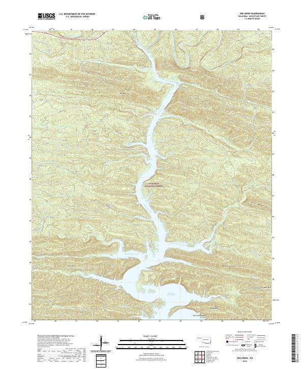
2022 Hee Creek
McCurtain County, OK
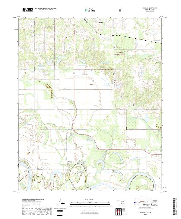
2022 Idabel SE
McCurtain County, OK
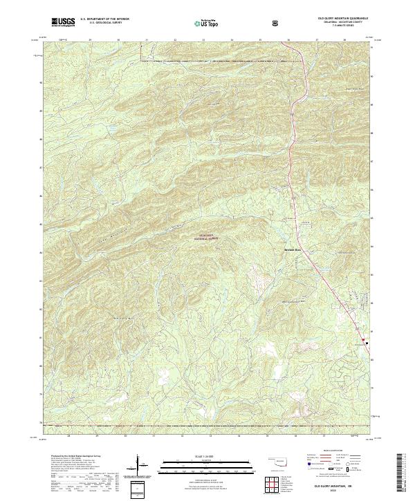
2022 Old Glory Mountain
McCurtain County, OK
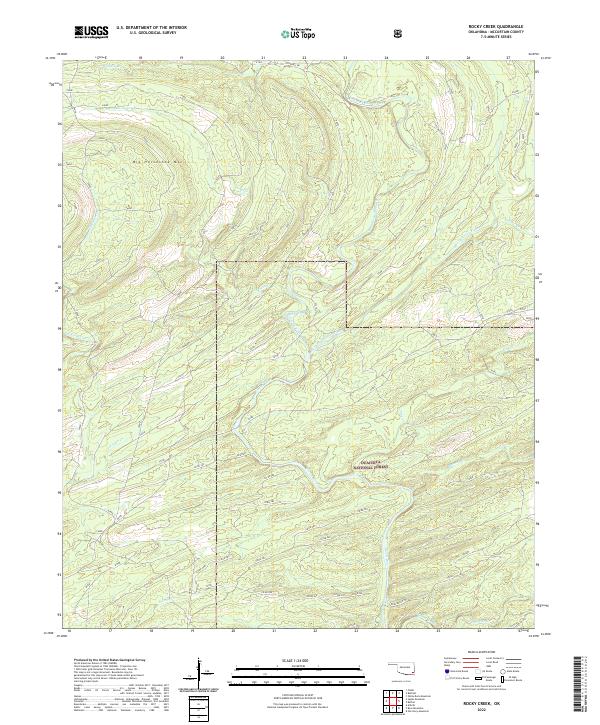
2022 Rocky Creek
McCurtain County, OK
2022 Shults
McCurtain County, OK
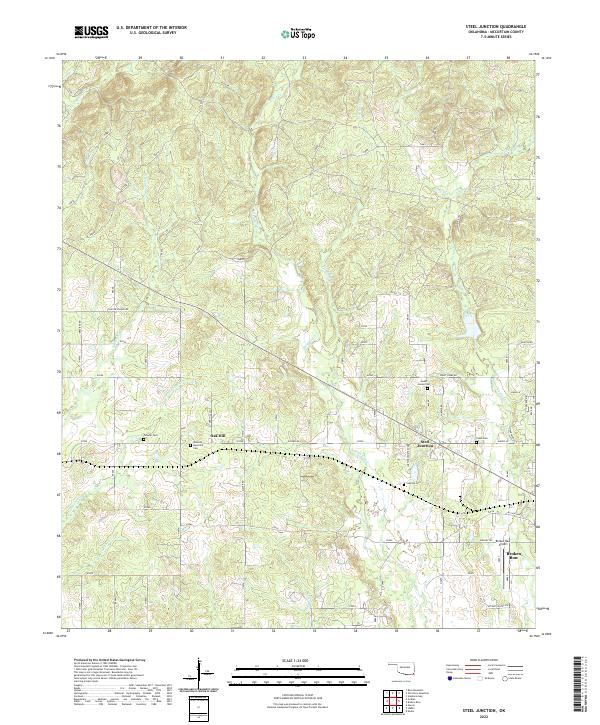
2022 Steel Junction
McCurtain County, OK
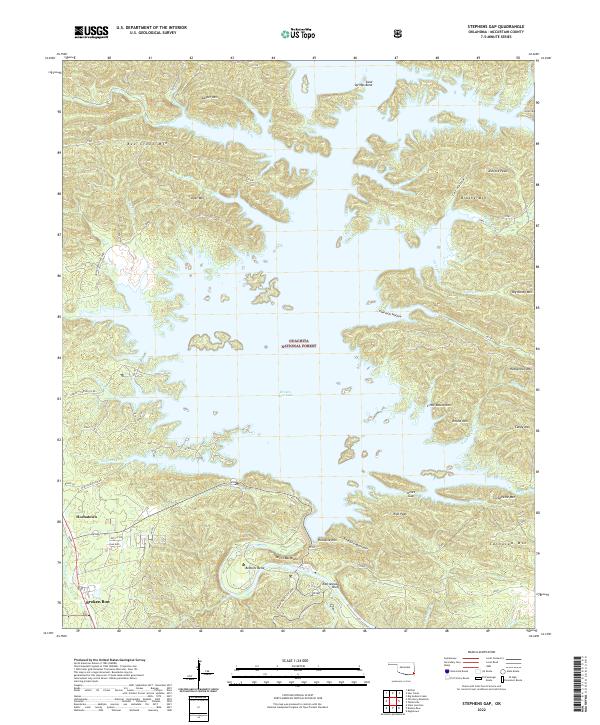
2022 Stephens Gap
McCurtain County, OK
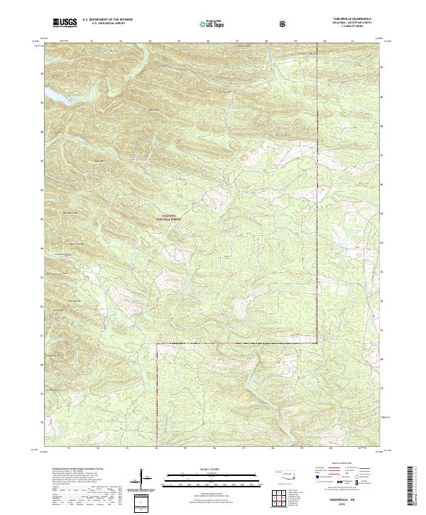
2022 Tablerville
McCurtain County, OK
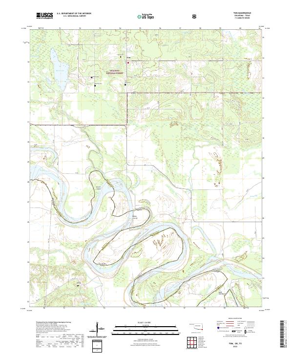
2022 Tom
McCurtain County, OK
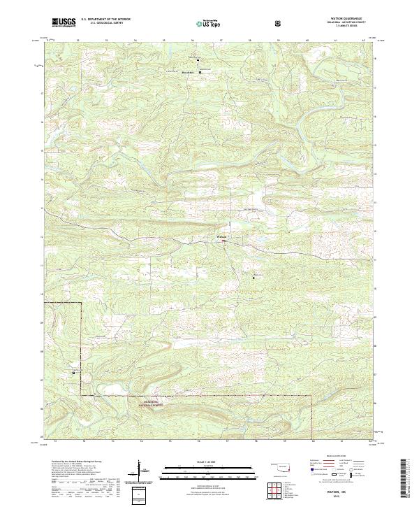
2022 Watson
McCurtain County, OK
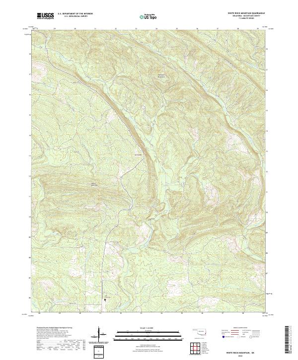
2022 White Rock Mountain
McCurtain County, OK