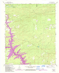
1962 Map of Alikchi
USGS Topo · Published 1993About this map
The Little River valley defines this Oklahoma landscape along the Pushmataha and McCurtain County line. The terrain is a network of dense hydrological features, including Wilson Creek, Long Creek, and Cypress Creek, which feed into the large expanse of Little River Lake. Notable for local historians is the Wilson Chapel Cem, located near the creek that shares its name, providing a concrete point of reference for family research in this rural timber and water region.
Find a feature on this map
21 named features on this map. Tap any name to fly to it.
Don’t see what you’re looking for? This feature index may not catch every label — zoom into the map to look around manually.
Map Details
Editions of this 1962 Alikchi Map
3 editions found
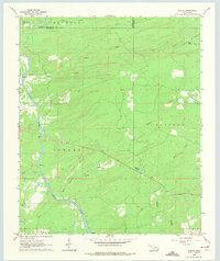
Other maps of this area

1901 · Alikchi
USGS Topo · 1:125,000

1902 · Lukfata
USGS Topo · 1:125,000

1950 · Mcalester
USGS Topo · 1:250,000

1959 · Golden
USGS Topo · 1:62,500

1960 · Bethel
USGS Topo · 1:62,500

1962 · McAlester
USGS Topo · 1:250,000

1962 · Wright City
USGS Topo · 1:24,000

1962 · Sobol
USGS Topo · 1:24,000

1962 · Caney Mountain
USGS Topo · 1:24,000

1962 · Alikchi
USGS Topo · 1:24,000