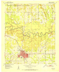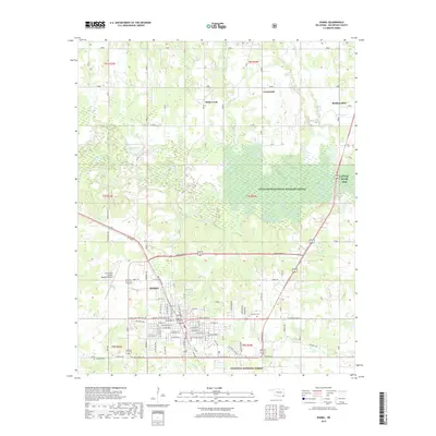
1950 Map of Idabel
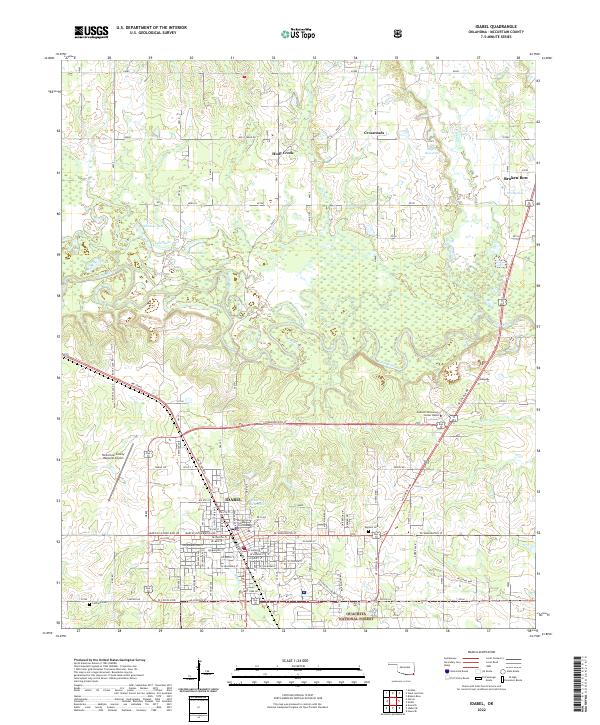
USGS Topo · Published 1973About this map
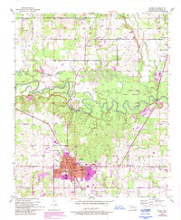
Idabel serves as the regional hub at the turn of the 1950s, defined by its organized grid and a concentration of civic landmarks including the Courthouse, Armory, and multiple educational institutions such as Gray High Sch and Washington Sch. The surrounding landscape of McCurtain County is shaped by the winding course of the Little River, which snakes through the center of the sheet with numerous oxbows and tight bends. This river system, joined by tributaries like Lukfata Creek and Holly Creek, dictates the placement of rural outposts and early transport routes.
Find a feature on this map
38 named features on this map. Tap any name to fly to it.
Don’t see what you’re looking for? This feature index may not catch every label — zoom into the map to look around manually.
Map Details
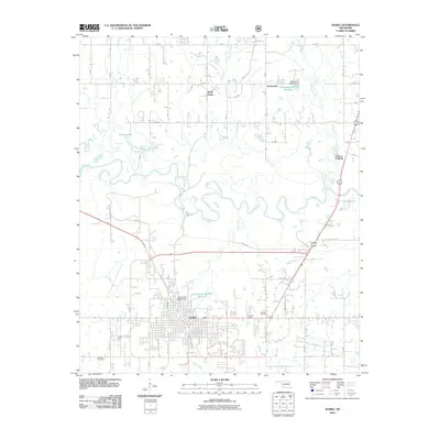
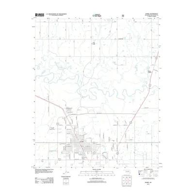
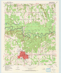
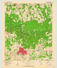
Editions of this 1950 Idabel Map
3 editions found
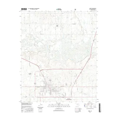
Historical Maps of Idabel Through Time
9 maps found