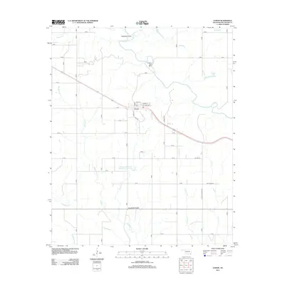
2012 Map of Garvin
USGS Topo · Published 2012About this map
Garvin sits at the heart of this McCurtain County landscape, clustered along the Highway 70 corridor where local routes like Kirk Ave and Williams Ave define the small settlement. To the south, the curious designation of Iron Stob Corner marks a junction on Highway 37, reflecting the persistent local nomenclature often used in rural Oklahoma to identify historic crossroads and survey points.
Find a feature on this map
29 named features on this map. Tap any name to fly to it.
Don’t see what you’re looking for? This feature index may not catch every label — zoom into the map to look around manually.
Map Details
Editions of this 2012 Garvin Map
This is the sole edition of this map. No revisions or reprints were ever made.
Other maps of this area

1901 · Alikchi
USGS Topo · 1:125,000

1902 · Lukfata
USGS Topo · 1:125,000

1950 · Mcalester
USGS Topo · 1:250,000

1950 · Idabel
USGS Topo · 1:24,000

1950 · Acworth
USGS Topo · 1:24,000

1951 · Idabel
USGS Topo · 1:24,000

1951 · Garvin
USGS Topo · 1:24,000

1951 · Idabel SE
USGS Topo · 1:24,000

1951 · Acworth
USGS Topo · 1:24,000

1951 · Millerton
USGS Topo · 1:24,000