2000s (21st Century) Maps of Davis, Oklahoma
Explore 20 historic maps of Davis from the 2000s (21st Century). These maps offer a rare glimpse into what life looked like during the 2000s — showing old roads, neighborhoods, homes, and landmarks that have changed or disappeared over time.
Whether you're researching your family's past, planning a metal detecting trip, or studying how Davis's landscape evolved across the 2000s, these high-resolution maps are a powerful tool for exploring the history of this region.
- Focus on a specific era: All maps on this page are from the 2000s, giving you a focused view of this time period.
- See what’s changed: Compare century-old streets, trails, and buildings to today's modern landscape using overlays and satellite layers.
- Research with precision: Use these maps for genealogy, historical research, land use analysis, or educational projects.
- View, download, or print: Maps are fully viewable online in high resolution, and can be downloaded or printed for your own records.
Start exploring Davis's history through authentic maps from the 2000s. This is your window into the past.
Davis, OK maps
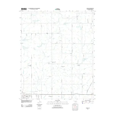
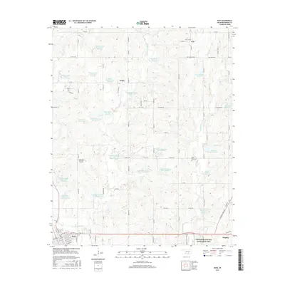
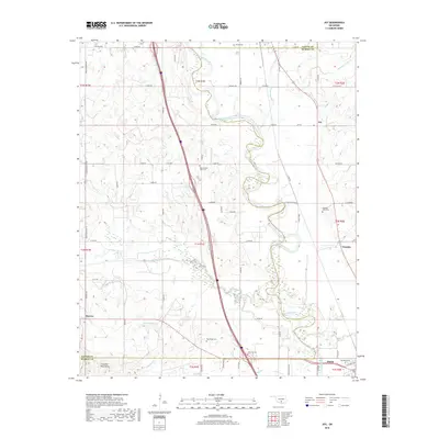
(20)- 2009 Map of Davis, 2009 Print
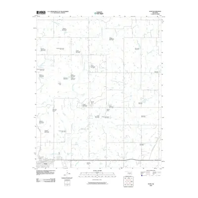 2009 Davis2009 Print · USGSCovers Davis, including Sulphur, Chigley, and other nearby areas
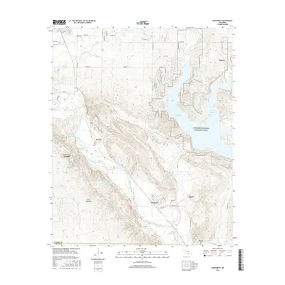
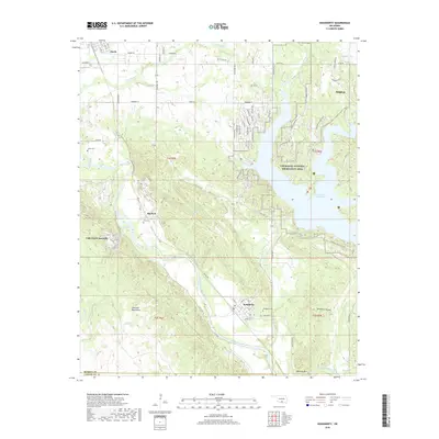
 - 2009 Map of Dougherty, 2009 Print
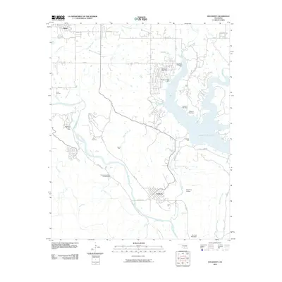 2009 Dougherty2009 Print · USGSCovers Davis, including Sulphur, Dougherty, and other nearby areas
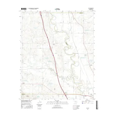
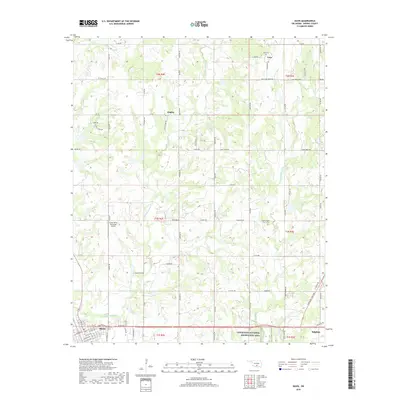
 - 2009 Map of Joy, 2009 Print
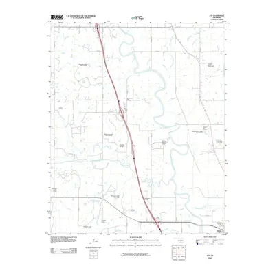 2009 Joy2009 Print · USGSCovers Davis, including Joy, Washita, and other nearby areas
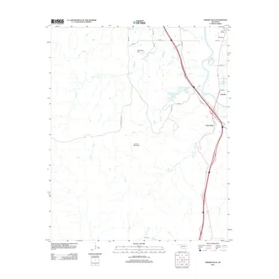
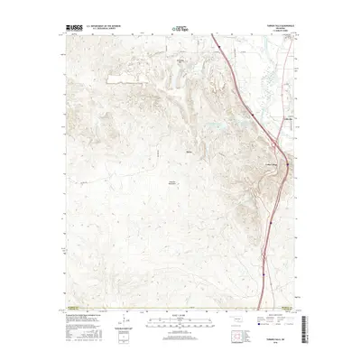
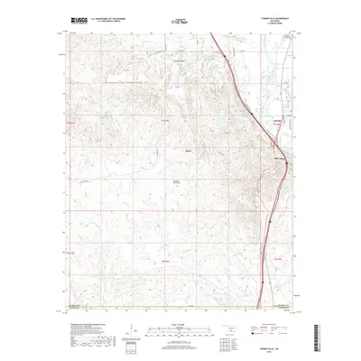
 - 2010 Map of Turner Falls, 2010 Print
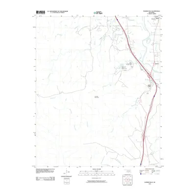 2010 Turner Falls2010 Print · USGSCovers Davis, including Jollyville, Cedar Village, and other nearby areas
 - 2012 Map of Davis, 2012 Print
 2012 Davis2012 Print · USGSCovers Davis, including Sulphur, Chigley, and other nearby areas
 - 2012 Map of Turner Falls, 2012 Print
 2012 Turner Falls2012 Print · USGSCovers Davis, including Jollyville, Cedar Village, and other nearby areas
 - 2012 Map of Joy, 2012 Print
 2012 Joy2012 Print · USGSCovers Davis, including Joy, Washita, and other nearby areas
 - 2012 Map of Dougherty, 2012 Print
 2012 Dougherty2012 Print · USGSCovers Davis, including Sulphur, Dougherty, and other nearby areas
 - 2016 Map of Davis, 2016 Print
 2016 Davis2016 Print · USGSCovers Davis, including Sulphur, Chigley, and other nearby areas
 - 2016 Map of Dougherty, 2016 Print
 2016 Dougherty2016 Print · USGSCovers Davis, including Sulphur, Dougherty, and other nearby areas
 - 2016 Map of Joy, 2016 Print
 2016 Joy2016 Print · USGSCovers Davis, including Joy, Washita, and other nearby areas
 - 2016 Map of Turner Falls, 2016 Print
 2016 Turner Falls2016 Print · USGSCovers Davis, including Jollyville, Cedar Village, and other nearby areas
 - 2018 Map of Turner Falls, 2018 Print
 2018 Turner Falls2018 Print · USGSCovers Davis, including Jollyville, Cedar Village, and other nearby areas
 - 2018 Map of Dougherty, 2018 Print
 2018 Dougherty2018 Print · USGSCovers Davis, including Sulphur, Dougherty, and other nearby areas
 - 2018 Map of Joy, 2018 Print
 2018 Joy2018 Print · USGSCovers Davis, including Joy, Washita, and other nearby areas
 - 2018 Map of Davis, 2018 Print
 2018 Davis2018 Print · USGSCovers Davis, including Sulphur, Chigley, and other nearby areas
 - 2022 Map of Joy, 2022 Print
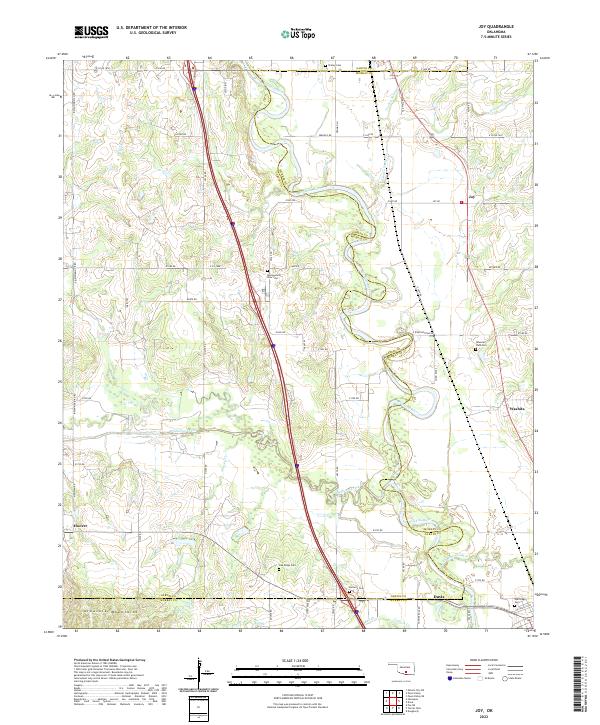 2022 Joy2022 Print · USGSThe Garvin and Murray county line crosses the Oklahoma landscape at the edge of the Arbuckle Mountains in this modern survey. Researchers can trace rural cemetery sites like Wynnewood View Cem and Butterfly Cem alongside the winding Washita River.
 - 2022 Map of Turner Falls, 2022 Print
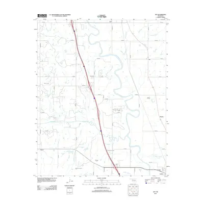
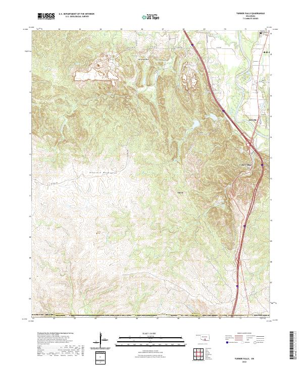 2022 Turner Falls2022 Print · USGSIn the heart of the Arbuckle Mountains during the early 2020s, this area showcases the famous cascades and growing rural communities. You can trace the winding course of Honey Cr to find Turner Falls and Bridal Veil Falls, or locate family sites near Jollyville and Green Hill Hill Cem.
 - 2022 Map of Dougherty, 2022 Print
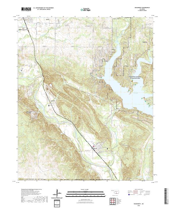 2022 Dougherty2022 Print · USGSOklahoma's southern hill country is documented here in recent years, showing the intersection of the Arbuckle Mountains and the Washita River. Researchers can trace local burial sites like Dougherty Cem or locate the rural grounds of the Falls Creek Assembly.
 - 2022 Map of Davis, 2022 Print
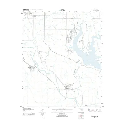
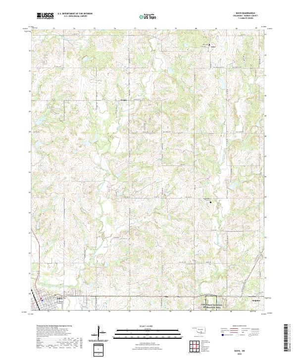 2022 Davis2022 Print · USGSMurray County in the early twenty-first century reveals a landscape of enduring rural communities and historical landmarks. Genealogists can locate family names at Iona Cem and Sandy Baptist Church Cem or trace the early street plans of Davis and Sulphur.
End of results
Showing maps 1-20 of 20
Top cities near Davis
- Ardmore historical maps
- Pauls Valley historical maps
- Sulphur historical maps
- Wynnewood historical maps
- Springer historical maps
- Katie historical maps
See more
Top neighborhoods of Davis
Frequently asked questions
- What are the different types of historical maps available for Davis?
- What is the oldest map of Davis?
- Where can I purchase historical maps of Davis for my home or office?
- Where can I download high-res historical maps of Davis?
- Are there historical topographic maps available for Davis?
- Is there historical aerial imagery available for Davis?
- Where are historical maps of Davis sourced from?